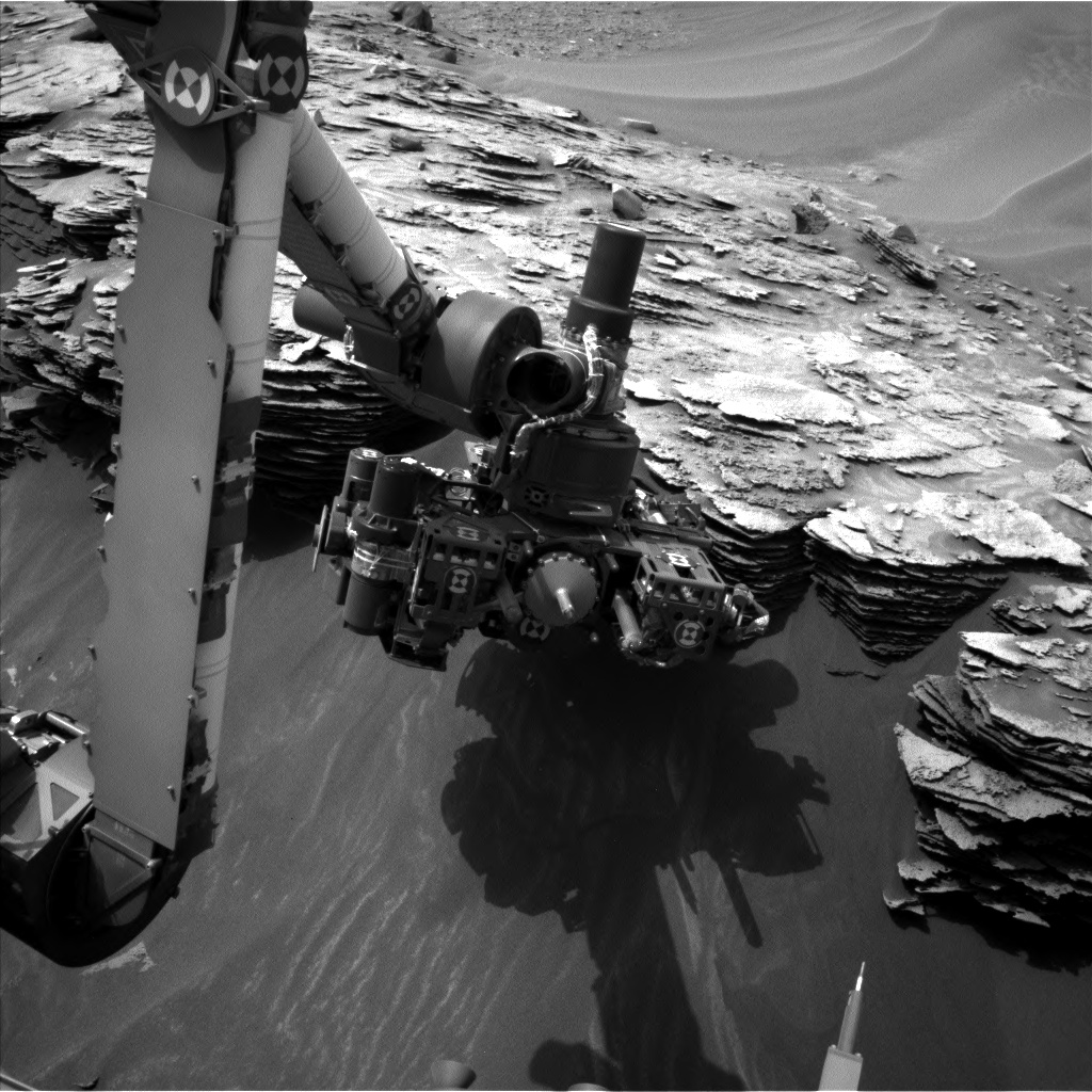
This image was taken by Curiosity’s Navcam Left B on May 3, 2015 during Sol 974.
Credit: NASA/JPL-Caltech
According to Ken Herkenhoff of the U.S. Geological Survey (USGS) in Flagstaff, Arizona, NASA’s Curiosity rover on Mars is now in a good position for contact science observations on an interesting outcrop of sedimentary rock.
On Sol 973, the rover is using several instruments to observe nearby targets “Albert” and “Charity,” and a distant target named “Empire.”
Also, the rover will use its Navcam will search for Martian clouds and dust devils.
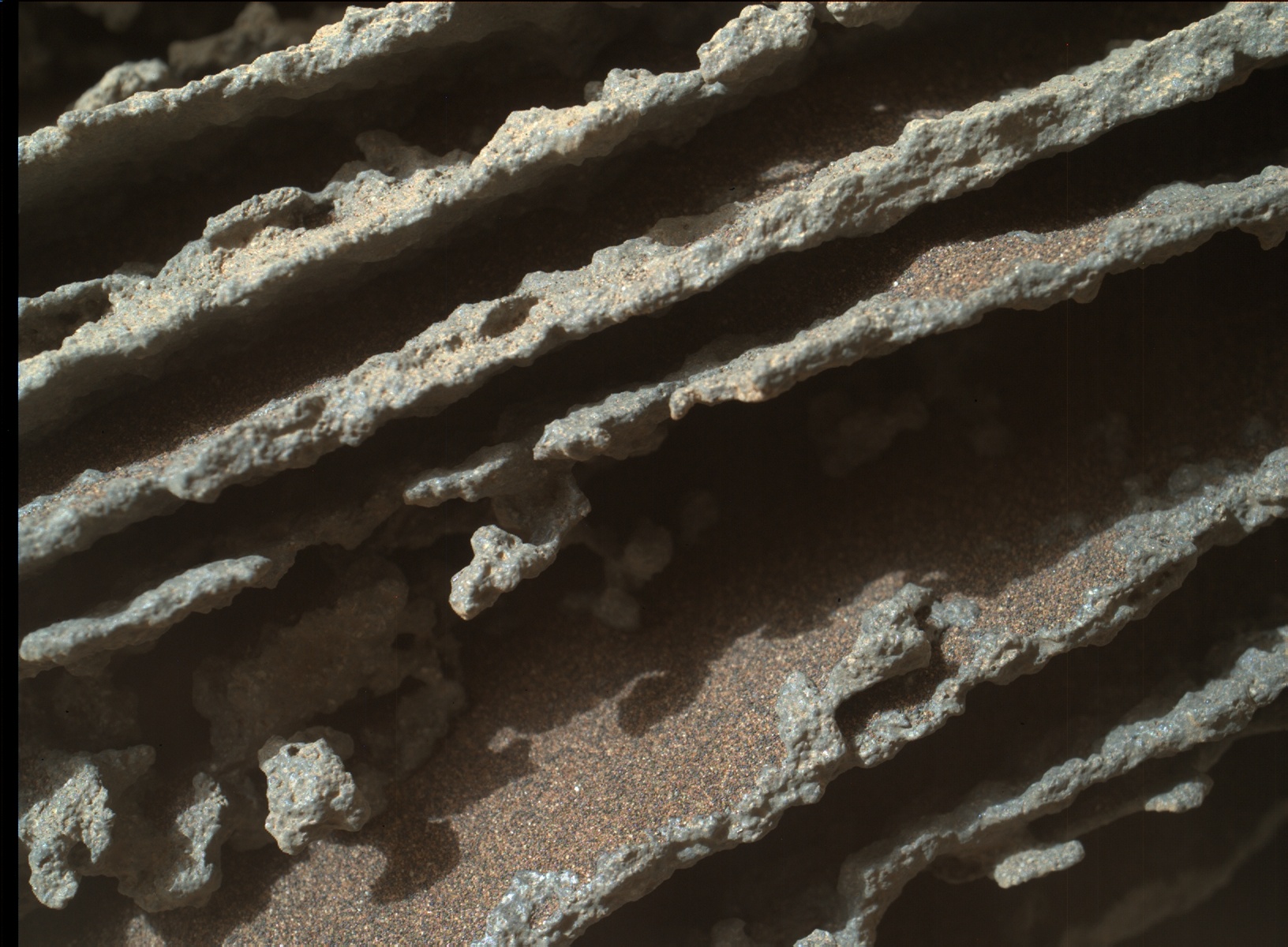
NASA’s Mars rover Curiosity acquired this image using its Mars Hand Lens Imager (MAHLI), located on the turret at the end of the rover’s robotic arm, on May 3, 2015, Sol 974 of the Mars Science Laboratory Mission.
Credit: NASA/JPL-Caltech/MSSS
NASA’s Curiosity rover is “factory loaded” with the biggest, most advanced suite of instruments for scientific studies ever sent to the Martian surface.
The record of the planet’s climate and geology is essentially “written in the rocks and soil” — in their formation, structure, and chemical composition.
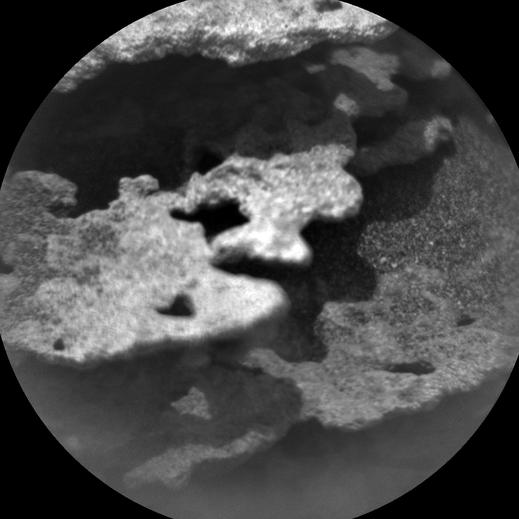
This image was taken by Curiosity’s ChemCam: Remote Micro-Imager on May 2, 2015 during Sol 973.
Credit: NASA/JPL-Caltech/LANL
The rover’s onboard laboratory is dutifully studying rocks, soils, and the local geologic setting in order to detect chemical building blocks of life (e.g., forms of carbon) on Mars and is assessing what the Martian environment was like in the past.

