 By
By  July 29th, 2026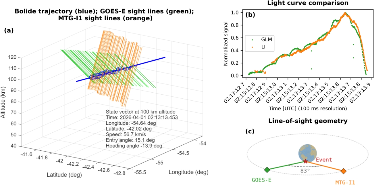
Image credit: Elizabeth A. Silber et al 2026 Res. Notes AAS 10 183
It came from outer space, exploding high above the South Atlantic off the coast of Argentina.
That incoming meteor — also termed as a bolide — was observed by a pair of civilian lightning imagers aboard geostationary weather satellites, thereby supplementing the use of space-based military surveillance satellites.
The April 1 event was viewed by the U.S. GOES-E and Europe’s Meteosat Third Generation (MTG) Imager-1 satellite. The event was well-observed from geostationary orbit by two lightning imagers onboard those two independent spacecraft.
First use
Viewed as the first use of stereo detections from two different lightning imagers, researchers were able to derive a three-dimensional trajectory and velocity estimate for the fireball.
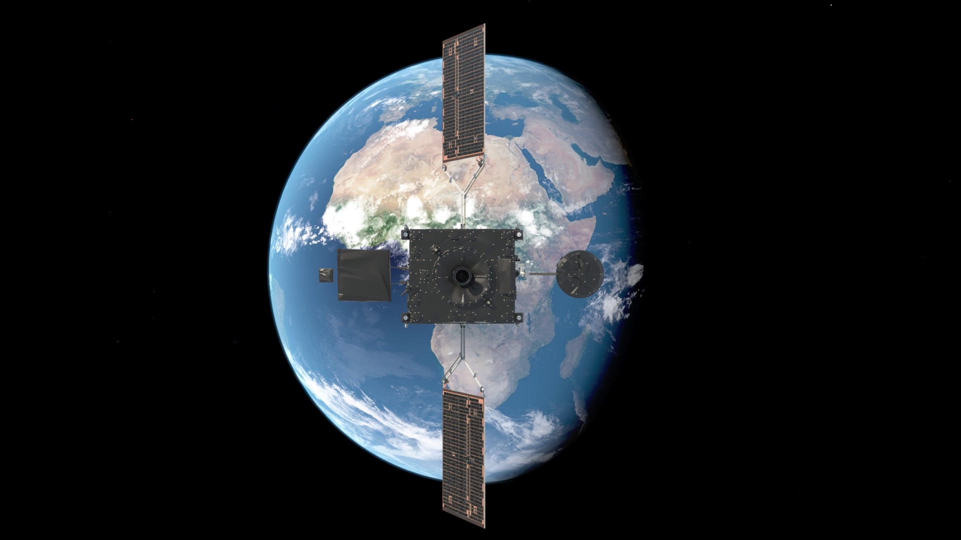
Hovering in a fixed position 36,000 km above the equator, the Meteosat Third Generation (MTG) mission is designed to deliver a rapid stream of data for enhanced weather forecasting. Its Lightning Imager offers a completely new capability for European meteorological satellites.
Image credit: ESA/Mlabspace
In addition, US government sensors also detected the high-velocity fireball whose brightness peaked at an altitude of nearly 60 miles (90.5 kilometers) over the South Atlantic.
Stereoscopic triangulation of the imager tracks from the lightning imagers yielded an independent pre-atmospheric velocity of the fireball, pegged at 18% below the U.S. government-reported value.
Radiated energy and entry speed
That lightning imager data was duly catalogued in NASA’s Jet Propulsion Laboratory Center for Near-Earth Object Studies (CNEOS) fireball database.
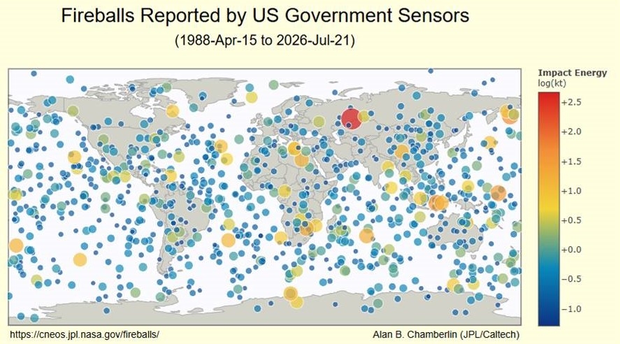
“The data passed to CNEOS about such events includes a measurement of total radiated energy and of the estimated entry speed,” said Juan Luis Cano of the European Space Agency’s Planetary Defense team and co-author of a new paper on the event published in the Research Notes of the American Astronomical Society.
The research paper is led by Elizabeth Silber of the U.S. Sandia National Laboratories in New Mexico.
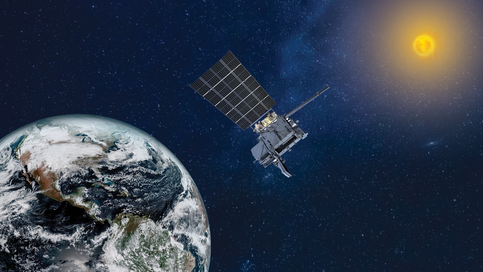
Artist’s rendering of NOAA’s GOES East satellite in orbit. Among duties, the spacecraft provides real-time mapping of lightning activity.
Image credit: NOAA
“The Lightning Imager on MTG-I1 and its US counterpart detect millions of lightning flashes from their approximately 36, 000 kilometer altitude on the equator on a daily basis,” notes Juan Luis. “But not all the flashes they see come from lightning.”
Distinct signatures
Juan Luis noted in an ESA statement that researchers looking over the data found that fireball detonations have their own distinct signatures, possessing clear linear paths and a gradual increase in intensity before fading away, unlike the fixed points of lightning flashes.
“So we have been investigating methods to routinely separate out fireballs from lightning,” Juan Luis said, “to build a global inventory of these events in support of our knowledge of the very small-object population in near-Earth space for planetary defense.”
To access the research paper – “Multi-sensor Observations of a High-velocity Fireball over the South Atlantic on 2026 April 1” – go to:
https://iopscience.iop.org/article/10.3847/2515-5172/ae853e
Also, to access the Bolide Detections from Geostationary Lightning Mapper website, go to:
https://neo-bolide.ndc.nasa.gov/#/
This research has made use of the neo-bolide.ndc.nasa.gov website, which was developed and operated by NASA’s Asteroid Threat Assessment Project thanks to funding from NASA’s Planetary Defense Coordination Office.
 Posted in Space News

