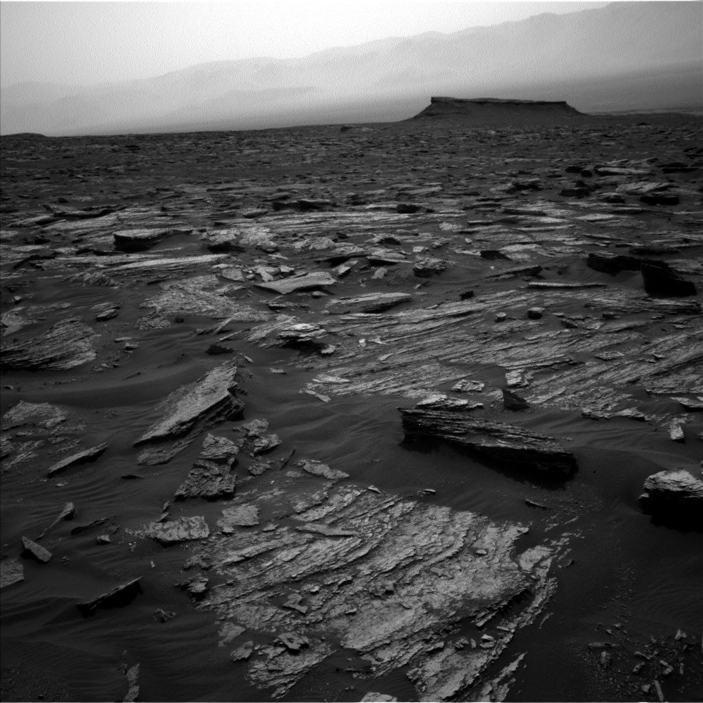
Curiosity Navcam Left B image taken on Sol 1685, May 3, 2017.
Credit: NASA/JPL-Caltech
NASA’s Curiosity rover is now performing Sol 1686 science duties, “continuing the steady march up Mt. Sharp,” reports Michael Battalio, an atmospheric scientist; from Texas A&M University.
Curiosity recently drove 60 feet (18.3 meters) to bring the robot closer to a series of features being called “megaripples” – darker and larger ripples than were seen on the Bagnold Dunes, Battalio adds.
Gauging grain size, distribution
Touch-and-go was again the planning option, with Curiosity carrying out contact science on two targets: “Newport Ledge” and “Sugarloaf Mountain.” These two targets are the closest two rocks protruding above the sand a recent Navcam image.
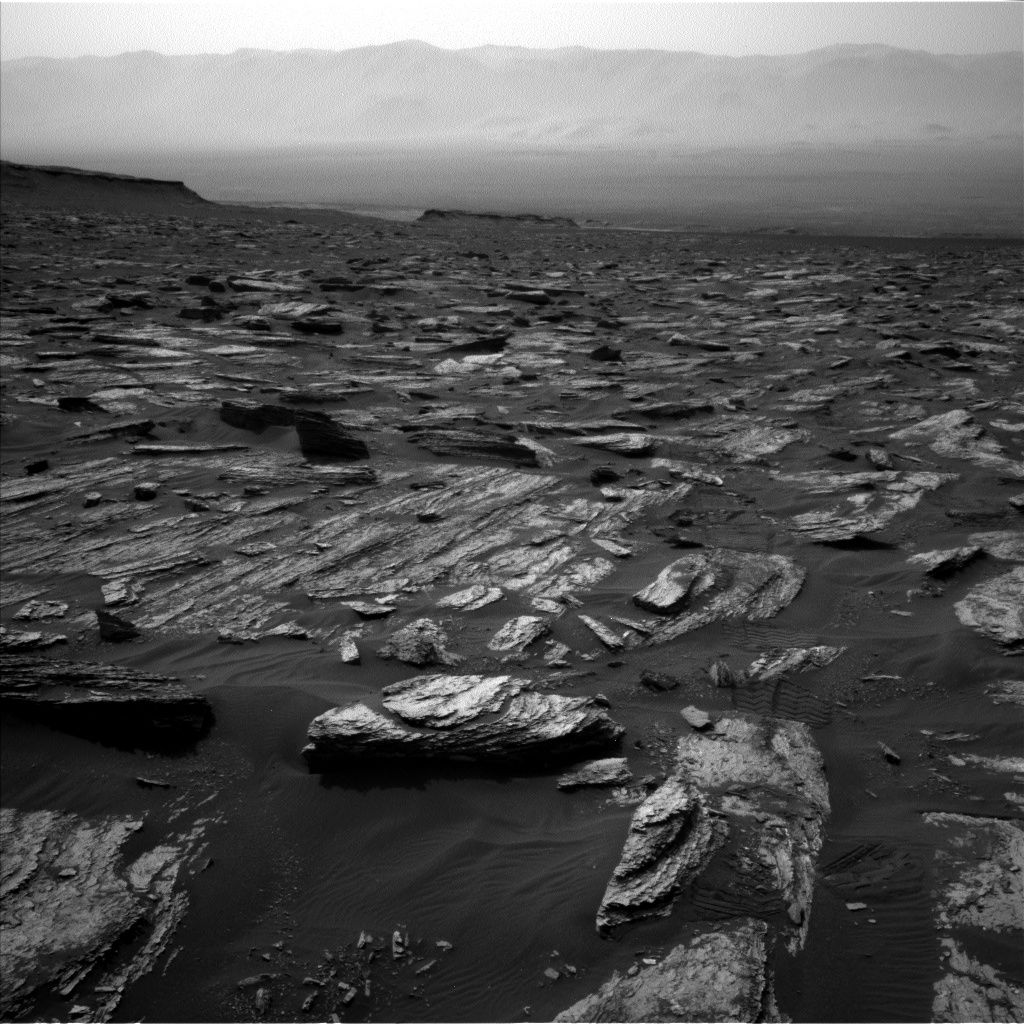
Curiosity Navcam Left B image taken on Sol 1685, May 3, 2017.
Credit: NASA/JPL-Caltech
Curiosity’s Mars Hand Lens Imager (MAHLI) is scheduled to target Newport Ledge to gauge grain size and distribution.
A series of observations by the robot’s Alpha Particle X-Ray Spectrometer (APXS) and Chemistry & Camera (ChemCam) on Newport Ledge, Battalio adds, will continue to investigate the variations in the Murray bedrock over the course of the ascent up Mt. Sharp.
Stratification and layering
The rover’s Mastcam is slated to target Newport Ledge and Sugarloaf Mountain to look at stratification and layering.
After a drive that should take Curiosity to the edge of the megaripples, ChemCam will perform an Autonomous Exploration for Gathering Increased Science (AEGIS) activity, and Navcam will document the robot’s new surroundings.
Also planned is a pair of afternoon dust observations with Mastcam, looking in the direction of the sun and towards the crater rim (a line-of-sight extinction).
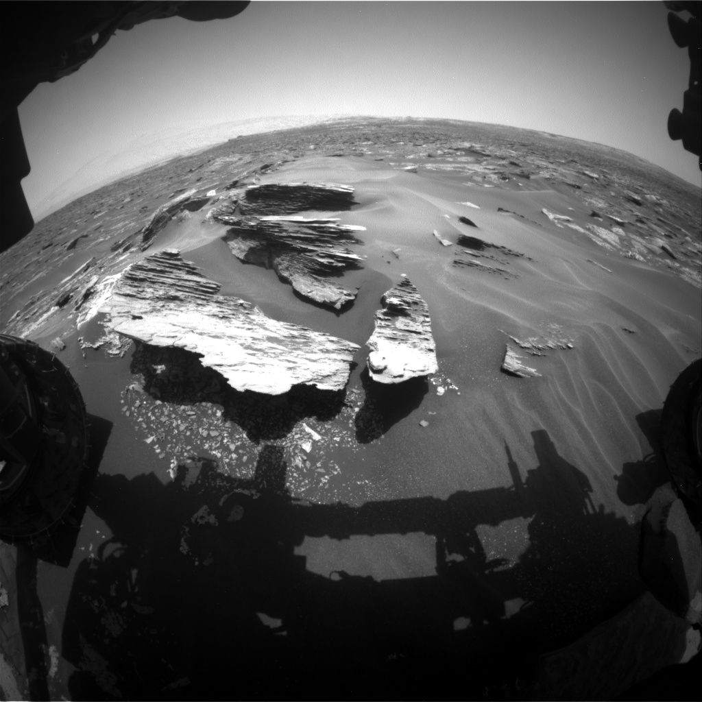
Curiosity Front Hazcam Left B image taken on Sol 1685, May 5, 2017.
Credit: NASA/JPL-Caltech
Environmental measurements
As usual, the Rover Environmental Monitoring Station (REMS) will capture the top of the hour five-minute observations and hour-long blocks of environmental measurements, Battalio reports. “In addition, a two-hour block of high-resolution data for the humidity sensor will be taken in the early morning.”
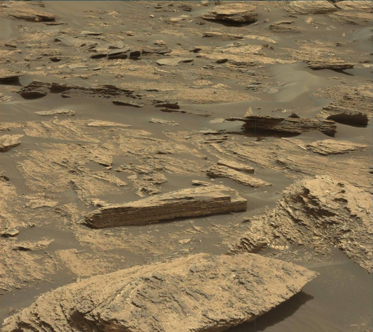
Curiosity Mastcam Left image taken on Sol 1684, May 2, 2017.
Credit: NASA/JPL-Caltech/MSSS
The high-resolution capture of humidity data, Battalio adds, “is only sparingly used because it requires the ground temperature and wind sensors to be turned off as the heat they generate interferes with the humidity measurements.”
Also, a Dynamic Albedo of Neutrons (DAN) passive and post-drive active measurement will be acquired as well.
New traverse map
Since landing in August 2012, Curiosity has driven 10.12 miles (16.29 kilometers) as of Sol 1685.
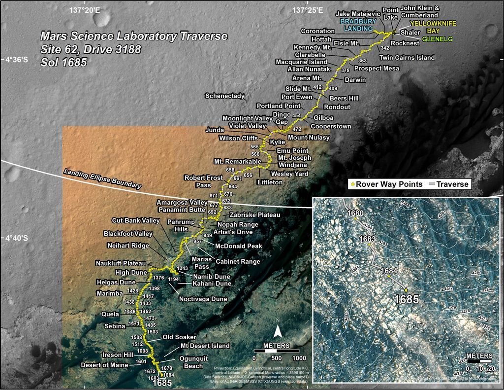
This map is periodically updated by the mission team as Curiosity drives on its way to the base of Mount Sharp.
Credit: NASA/JPL-Caltech
The base image from the map is from the High Resolution Imaging Science Experiment Camera (HiRISE) onboard NASA’s Mars Reconnaissance Orbiter.
Credit: NASA/JPL-CalTech/University of Arizona
A new map has been issued showing Curiosity’s traverse over Mars through Sol 1685.
This map shows the route driven by NASA’s Mars rover Curiosity through the 1685 Martian day, or sol, of the rover’s mission on Mars (May 03, 2017).
Numbering of the dots along the line indicate the sol number of each drive. North is up. The scale bar is 1 kilometer (~0.62 mile).
From Sol 1684 to Sol 1685, Curiosity had driven a straight line distance of about 60.01 feet (18.29 meters), bringing the rover’s total odometry for the mission to 10.12 miles (16.29 kilometers).

