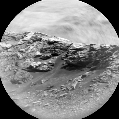
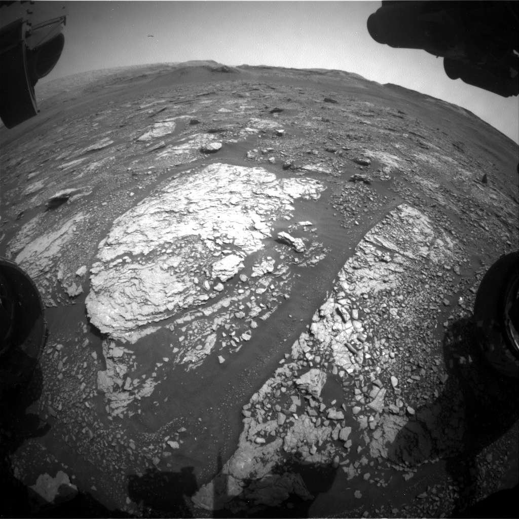
Curiosity Chemistry & Camera Remote Micro-Imager (RMI) photo acquired on Sol 2884, September 16, 2020.
Credit: NASA/JPL-Caltech/LANL
NASA’s Curiosity Mars rover is now carrying out Sol 2885 tasks.
Reports Catherine O’Connell-Cooper, a planetary geologist at University of New Brunswick; Fredericton, New Brunswick, Canada: Mars scientists are busy starting their analysis of data from the Sample Analysis at Mars (SAM) instrument that used a special chemical called tetramethylammonium hydroxide (TMAH) to help identify organic (carbon-bearing) molecules in the sample.
“However, we are also keeping Curiosity busy,” O’Connell-Cooper adds.
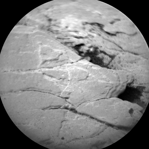
Curiosity Chemistry & Camera Remote Micro-Imager (RMI) photo acquired on Sol 2884, September 16, 2020.
Credit: NASA/JPL-Caltech/LANL
Bedrock survey
Although contact science using the Mars Hand Lens Imager (MAHLI) and the Alpha Particle X-Ray Spectrometer (APXS) is precluded at this stage in the drill campaign (while samples are in the drill stem), O’Connell-Cooper explains that the Chemistry and Camera (ChemCam) and Mastcam teams are both working diligently on a “bedrock survey” of the workspace.
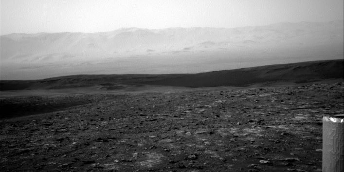
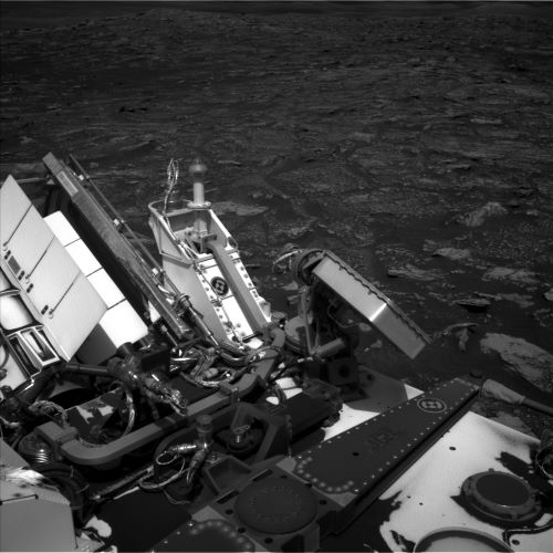
Curiosity Right B Navigation Camera image taken on Sol 2884, September 16, 2020.
Credit: NASA/JPL-Caltech
Conducting the TMAH experiment on top of our standard Chemistry & Mineralogy X-Ray Diffraction/X-Ray Fluorescence Instrument (CheMin) and SAM analyses “required a greater amount of sample than we could collect from a single drill hole, so having a geochemically homogenous block was important in allowing us to collect samples with similar compositions from two different drills holes,” O’Connell-Cooper points out.
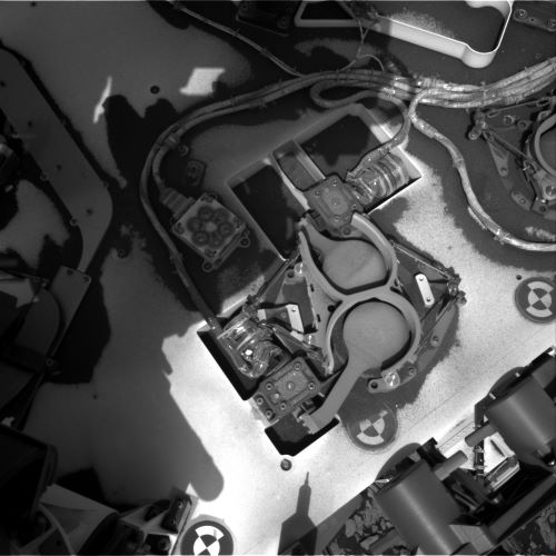
Curiosity Left B Navigation Camera photo taken on Sol 2884, September 16, 2020.
Credit: NASA/JPL-Caltech
This image was taken by Front Hazard Avoidance Camera (Front Hazcam) onboard NASA’s Mars rover Curiosity on Sol 2883. The “Mary Anning” drill holes are on the block in the center of the image. Credit: NASA/JPL-Caltech
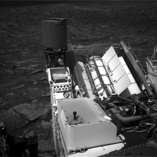
Curiosity Left B Navigation Camera photo taken on Sol 2884, September 16, 2020.
Credit: NASA/JPL-Caltech
Curiosity Right B Navigation Camera image taken on Sol 2884, September 16, 2020.
Subtle variations
“Beyond this block, targets are a little more heterogenous and show subtle variations in the concentrations of major element geochemistry,” says O’Connell-Cooper.
While the ChemCam Laser Induced Breakdown Spectroscopy (LIBS) instrument can analyze targets up to 23 feet (7 meters) from the rover, it is being used very intensively to document trends across the workspace, and Mastcam is taking supporting images of each ChemCam target.
A newly scripted plan includes ChemCam and Mastcam on a further two bedrock targets “Prestonpans” and “Clivocast,” as Mars researchers try to fill in gaps in the survey.
Long distance images
Additionally, Mastcam will take three change detection images, one centered around the sandy target “Upper Ollach,” a second image across the rover deck and another of the Mary Anning drill holes themselves.
O’Connell-Cooper reports that ChemCam will also take some Remote Micro-Imager (RMI) long distance images of the “Housedon Hill” target, a raised feature to the east of the rover.
“Based on initial images taken on sol 2880,” O’Connell-Cooper adds, ChemCam is refining and targeting more specific areas so that we can investigate the relationship between apparent bedding planes and the surface of the feature, all from a distance of [1,312 feet] 400 meters!
Lastly, the environmental theme group (ENV) segment of a newly scripted plan includes some Navcam dust devil movies, Mastcam “tau” measurements to determine the concentration of dust in the atmosphere, in addition to the standard Rover Environmental Monitoring Station (REMS) and Dynamic Albedo of Neutrons (DAN) activities which are always peppered throughout a given plan, concludes O’Connell-Cooper.

