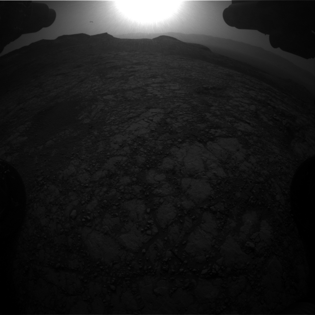
Curiosity Front Hazard Avoidance Camera Right B photo taken on Sol 2786, June 7, 2020.
Credit: NASA/JPL-Caltech
NASA’s Curiosity Mars rover is now performing Sol 2783 tasks.
Curiosity Front Hazard Avoidance Camera Right B photo taken on Sol 2786, June 7, 2020.
Credit: NASA/JPL-Caltech
“Curiosity is continuing her trek towards the sulfate-bearing unit while studying the local bedrock and environment along the way,” reports Vivian Sun, Planetary Geologist at NASA’s Jet Propulsion Laboratory. The previous drive placed Curiosity in front of several bedrock exposures which will be analyzed extensively before the rover continues driving in a scheduled three-sol plan.
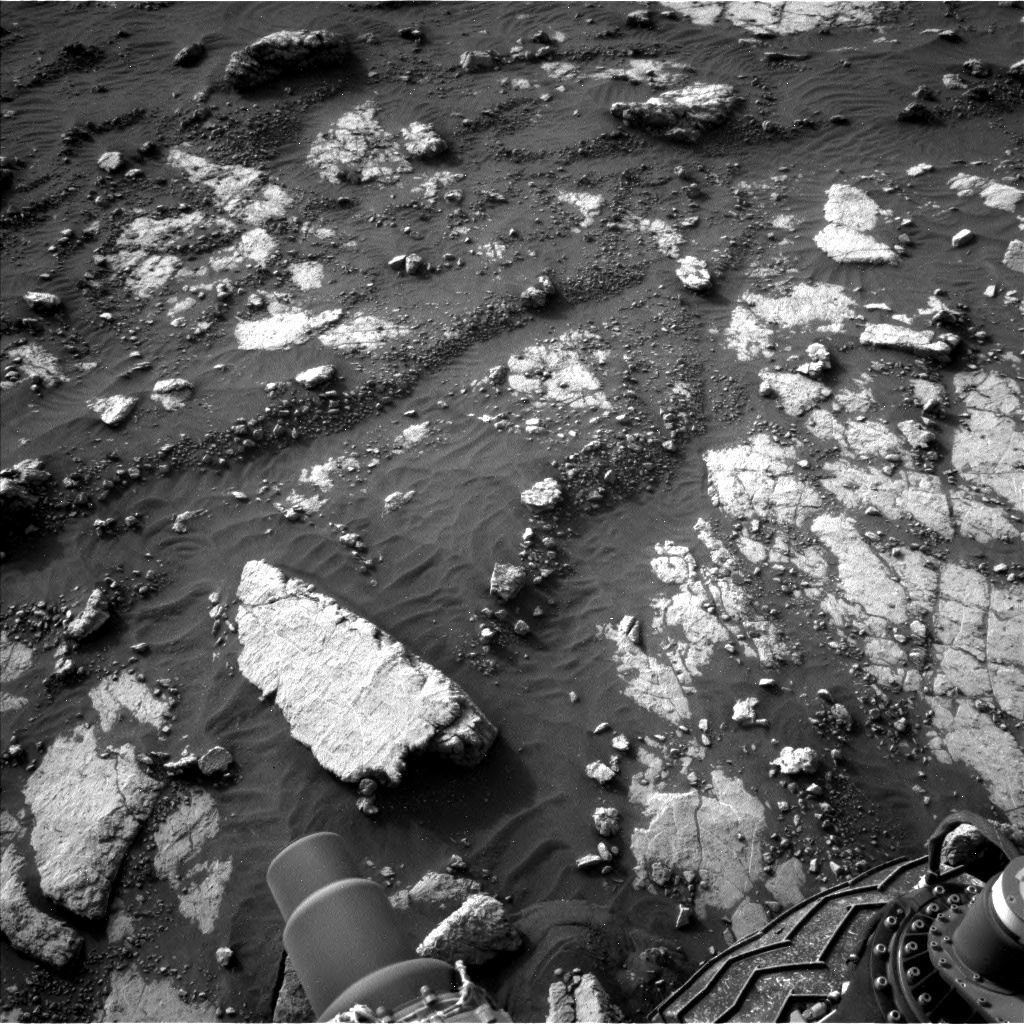
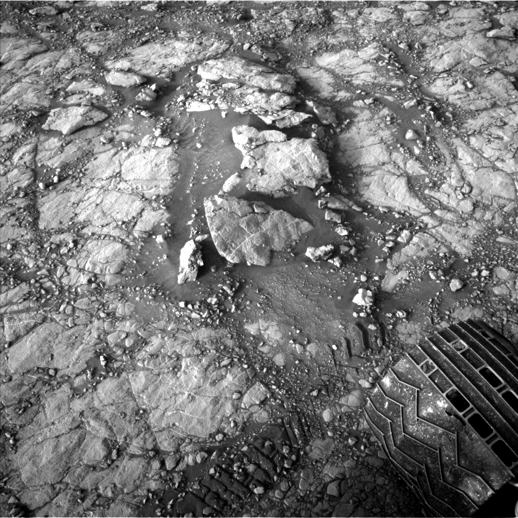
A stone slab, “Heather Island,” is visible at the bottom left of this image taken by Left Navigation Camera onboard NASA’s Mars rover Curiosity on Sol 2783.
Credit: NASA/JPL-Caltech
Star of the plan
The “star of the plan” is the “Heather Island” target which will be studied by four of the rover’s instruments, Sun adds.
First, the rover’s Chemistry and Camera (ChemCam) will take an extended 20-point raster observation across Heather Island. Having more ChemCam data points on this target will enable better comparison with the high-resolution Mars Hand Lens Imager (MAHLI) imaging that comes next, and will help Mars researchers better understand small-scale chemical variations in the bedrock.

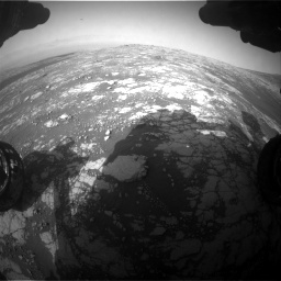
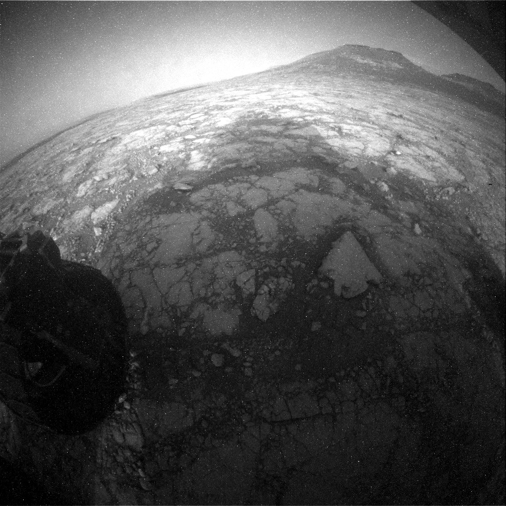
Curiosity Left B Navigation Camera image acquired on Sol 2786, June 7, 2020.
Credit: NASA/JPL-Caltech
“The rover will then use the Dust Removal Tool (DRT) to clear dust from Heather Island’s surface,” Sun notes, so that the robot’s Alpha Particle X-Ray Spectrometer (APXS) can better measure the composition of the underlying bedrock.
Credit: NASA/JPL-Caltech/Univ. of Arizona

Curiosity Left B Navigation Camera image acquired on Sol 2786, June 7, 2020.
Credit: NASA/JPL-Caltech
Same target – different aspects
On the plan is using Curiosity’s Mastcam to take a multispectral observation over the same spot.
“This is really a great opportunity to leverage the unique capabilities of multiple instruments to characterize different aspects of the same target,” Sun reports.
Curiosity Left B Navigation Camera image acquired on Sol 2786, June 7, 2020.
Credit: NASA/JPL-Caltech
The rest of the plan is also packed with other observations.
ChemCam will observe “Glame,” a nodular target that will add to a scientific characterization of nodular features in this region.
Curiosity Left B Navigation Camera image acquired on Sol 2786, June 7, 2020.
Credit: NASA/JPL-Caltech
Bedrock targets
Mastcam will also keep busy with four mosaics focused on the pediment and local landscape, and a suite of atmospheric monitoring activities and dust devil observations are also included throughout the plan.
“Curiosity will then drive and take two post-drive ChemCam observations using the AEGIS mode,” Sun concludes, “which will autonomously select bedrock targets at our next stop so that we can get a head start on characterizing the next location.”
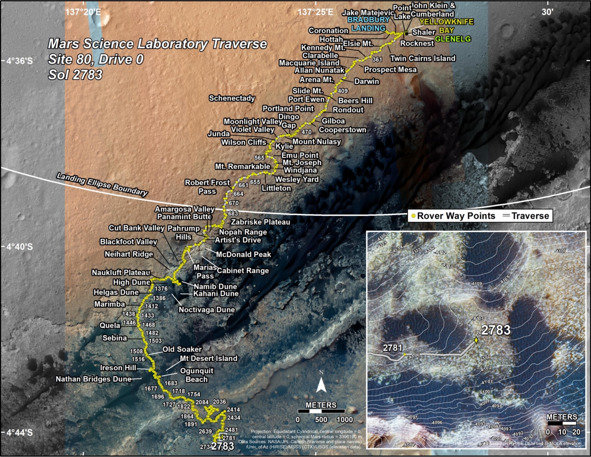
New road map
Meanwhile, a new Curiosity road map shows the route driven by the robot through the 2783 Martian day, or sol, of the rover’s mission on Mars (June 5, 2020).
Numbering of the dots along the line indicate the sol number of each drive. North is up. The scale bar is 1 kilometer (~0.62 mile).
From Sol 2781 to Sol 2783, Curiosity had driven a straight line distance of about 168.85 feet (51.47 meters), bringing the rover’s total odometry for the mission to 13.82 miles (22.24 kilometers).
The base image from the map is from the High Resolution Imaging Science Experiment Camera (HiRISE) in NASA’s Mars Reconnaissance Orbiter.
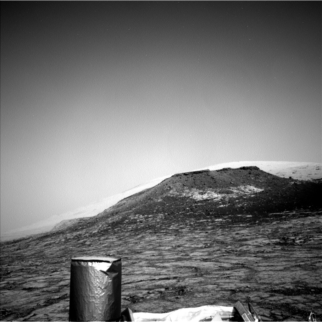
Curiosity Rear Hazard Avoidance Camera Right B image taken on Sol 2786, June 7, 2020.
Credit: NASA/JPL-Caltech

