
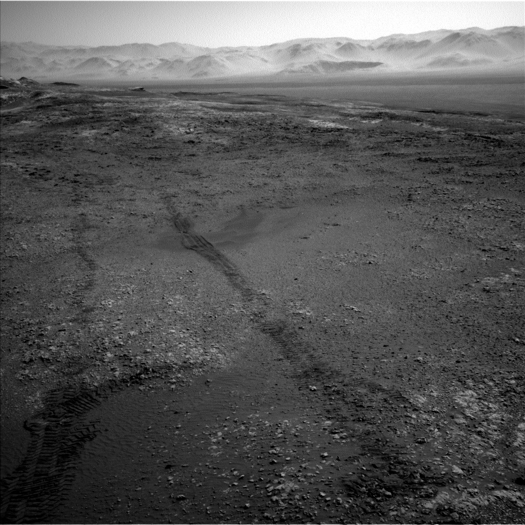
Navcam Left B image acquired on Sol 1949, January 29, 2018.
Credit: NASA/JPL-Caltech
NASA’s Curiosity rover is now in Sol 1949, taking in views of Mt. Sharp in the neighborhood.
The recent weekend plan on Sol 1947 called for Mastcam observation of the target “Montrose”, the first of a pair of images intended to watch for any changes in the soil at this location, reports Ryan Anderson, a planetary geologist at the USGS in Flagstaff, Arizona.
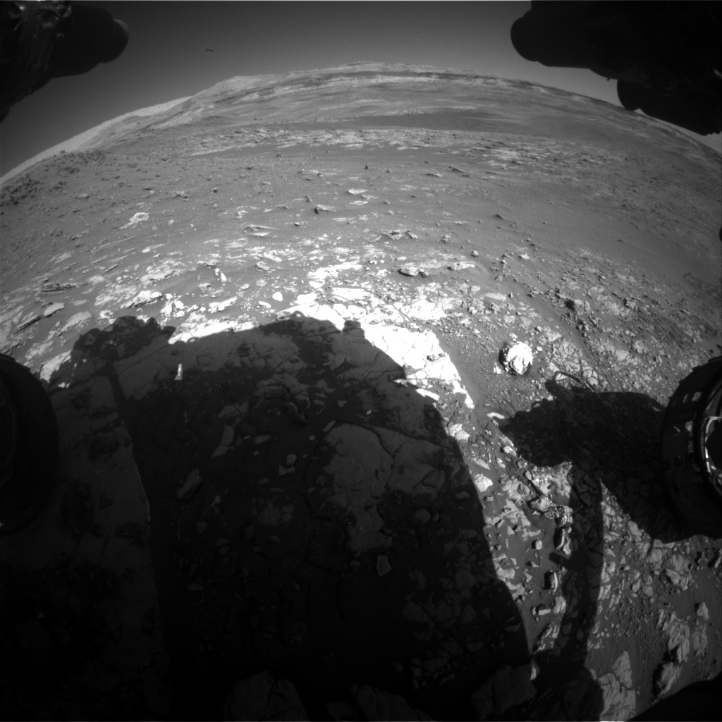
Curiosity Front Hazcam Right B image taken on Sol 1949, January 29, 2018.
Credit: NASA/JPL-Caltech
After that, the rover’s Chemistry and Camera (ChemCam) was slated to do a calibration observation and two analyses of targets “Thurso” and “Loch Tay,” followed by Mastcam documentation of those targets.
In the afternoon of Sol 1947, the robot’s Mars Hand Lens Imager (MAHLI) was to take pictures of Thurso and Loch Tay. The rover’s Alpha Particle X-Ray Spectrometer (APXS) was slated to perform a short measurement of Thurso, and then an overnight measurement of Loch Tay.
Navcam Left B image acquired on Sol 1949, January 29, 2018.
Credit: NASA/JPL-CaltechLong-distance imaging
On the plan for Sol 1948, ChemCam was set to do the long-distance imaging of Mt. Sharp, followed by a measurement of “Loch Scridain”.
Mastcam was tagged to document the ChemCam target, and then has several mosaics of the target “Harris Bay”. In the late afternoon on Sol 1948, ChemCam and Mastcam will do some “flat field” observations of the sky.
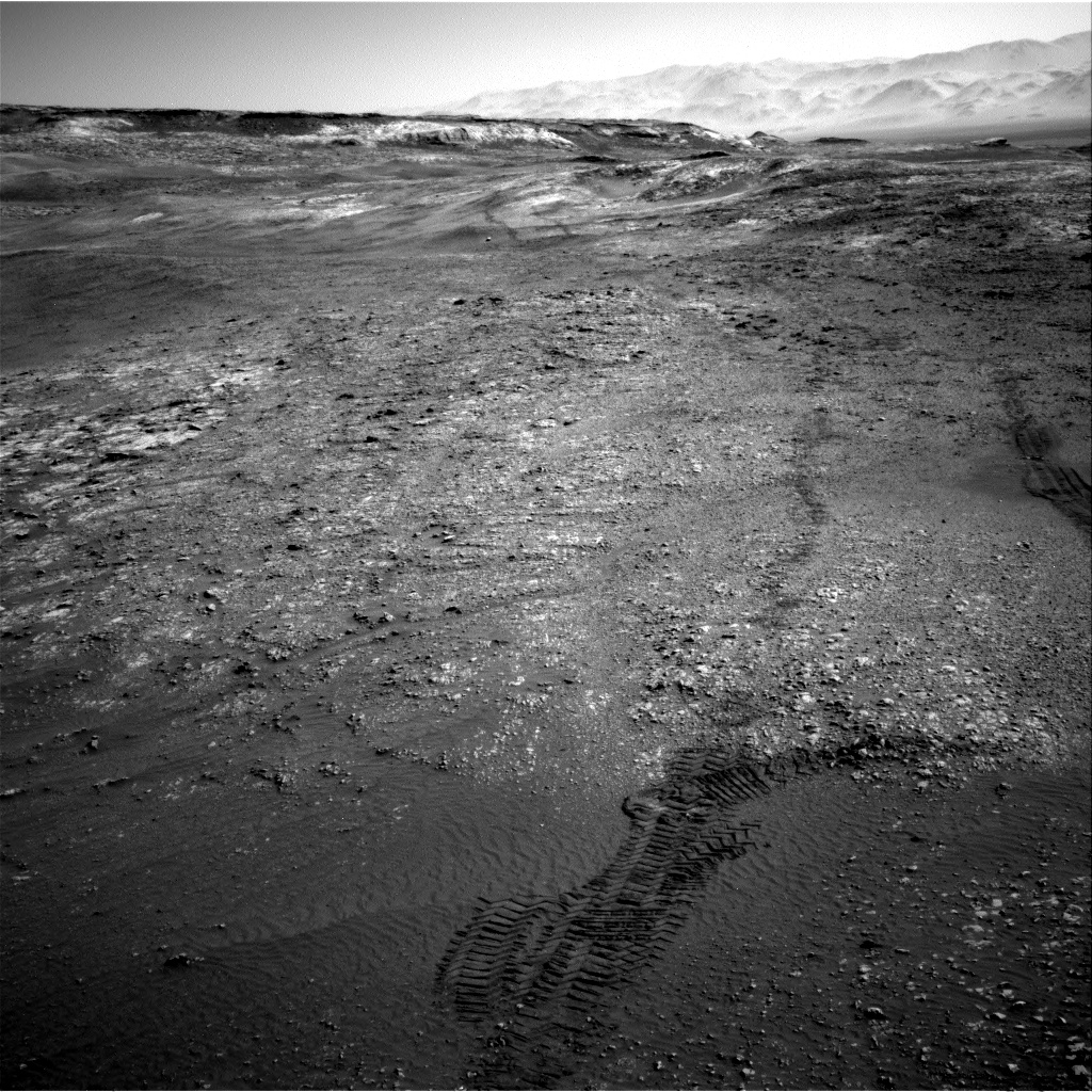
Navcam Right B photo taken on Sol 1949, January 29, 2018.
Credit: NASA/JPL-Caltech
“Flat fields are used to check for, and potentially correct for, things like dust on the optics of a camera,” Anderson says.
Short drive
On Sol 1949, Curiosity’s Mastcam and Navcam were scheduled some atmospheric observations to measure the amount of dust in the atmosphere, and Mastcam will follow up with a second observation of “Montrose” to look for changes.
The plan then calls for Curiosity to do a short drive, and collect post-drive imaging so ground controllers and scientists can plan this week’s activities,” Anderson concludes.

