 By
By  December 13th, 2017
Curiosity Navcam Left B image acquired on Sol 1903, December 13, 2017.
Credit: NASA/JPL-Caltech
Just wrapping up Sol 1903 operations, NASA’s Curiosity Mars rover has been scooting about on Vera Rubin Ridge.
The robot has been focusing on the rocks that make up the ridge, measuring their chemistry and imaging their structure to try and understand the origin of this prominent feature in Gale crater reports Michelle Minitti, a planetary geologist for Framework in Silver Spring, Maryland.
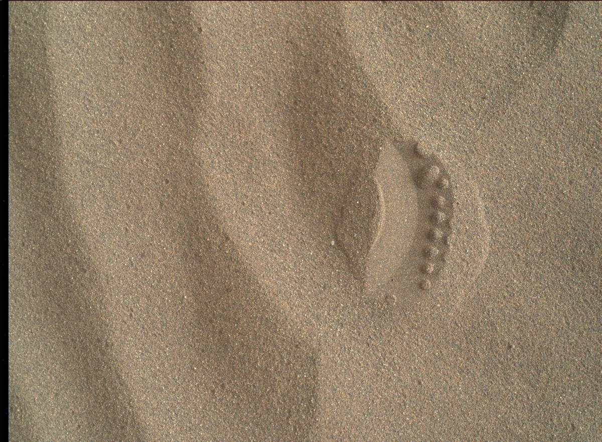
Laser shots across the sand. Curiosity Mars Hand Lens Imager (MAHLI) photo taken on Sol 1902, December 12, 2017.
Credit: NASA/JPL-Caltech/MSSS
Sand deposits
Sand has been the focus of Curiosity’s attention lately. Small depressions gather sand as the wind blows along the ridge, and the rover science team wanted to measure the chemistry and grain size of such a Vera Rubin Ridge sand deposit to understand their similarities (or differences) to those of the Bagnold dune sands, Minitti adds.
The Mars Hand Lens Imager (MAHLI) and the robot’s Alpha Particle X-Ray Spectrometer (APXS) were deployed on two targets, “Goatfell” and “Eilean Dubh.”
The former is along the crest of a sand ripple, and the latter avoids ripple crests to provide the largest contrast to Goatfell,” Minitti notes.
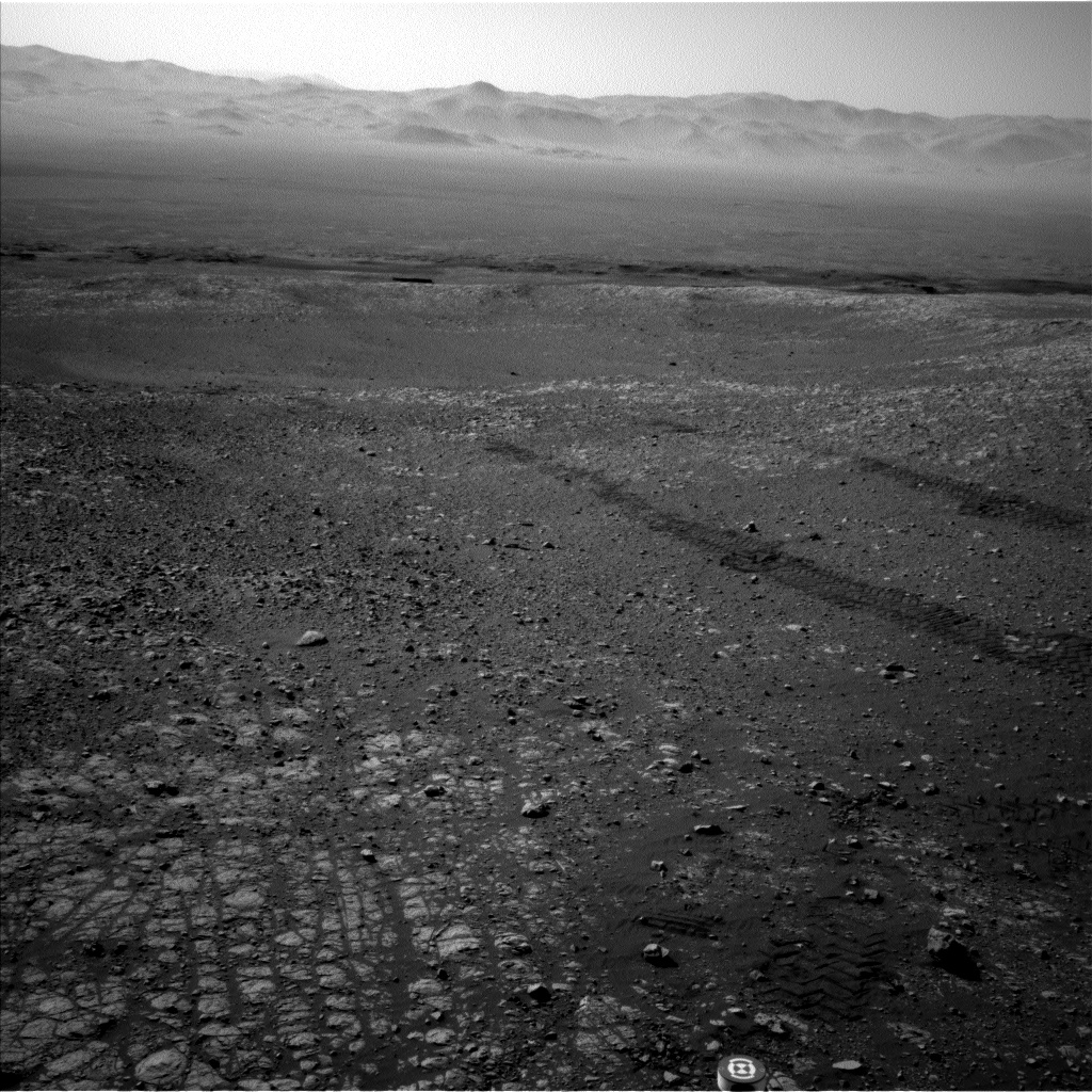
Curiosity Navcam Left B image taken on Sol 1902, December 12, 2017.
Credit: NASA/JPL-Caltech
Bedrock chemistry
Curiosity Chemistry and Camera (ChemCam) instruments was to raster across another ripple crest at “Stonehaven,” and Mastcam will acquire a multispectral observation at “Corrie” that covers the ripple crests targeted by ChemCam, MAHLI and APXS.

Curiosity Mastcam Left photo taken on Sol 1901, December 12, 2017.
Credit: NASA/JPL-Caltech/MSSS
“The Vera Rubin Ridge rocks did not go without attention despite the comprehensive sand observations. ChemCam will measure bedrock chemistry at “Arran,” and the chemistry of one of the gray cobbles scattered throughout the workspace at “Trotternish.” Targets “Coll” and “Yell” mark a contact between two different rock types on the ridge,” Minitti points out.
Curiosity’s Mastcam mosaics across these targets will provide detailed insight into the nature of the contact.
360 degree mosaics
The rover’s Mastcam was also slated to image “Hoy,” a small, bumpy rock that shares similarities with the target “Moffat” imaged during the rover’s last stop.
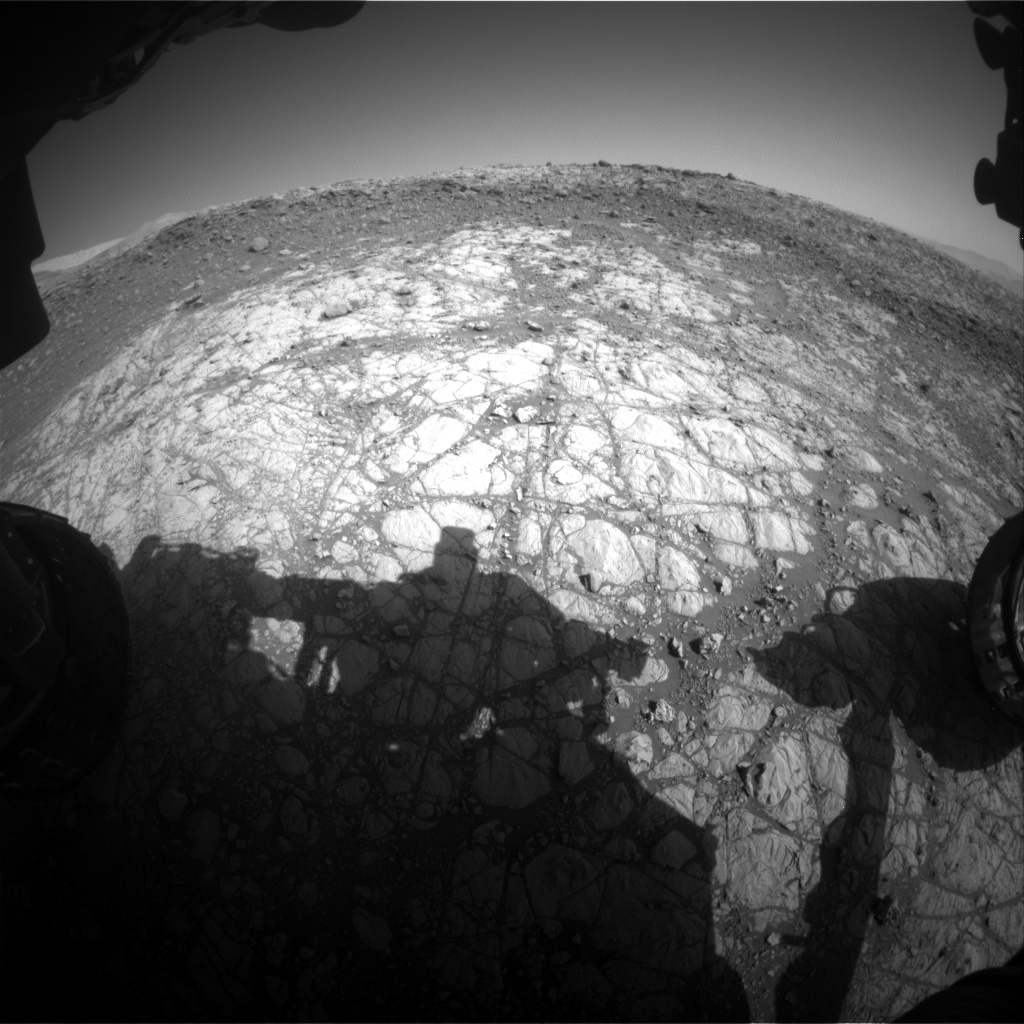
Curiosity Front Hazcam Left B image acquired on Sol 1903, December 13, 2017.
Credit: NASA/JPL-Caltech
“All of the plan’s targets will be recorded for posterity in one of our systematic Mastcam 360 degree mosaics,” Minitti explains, including Curiosity’s drive target, a stretch of bedrock roughly 16-feet (5 meters) away with unique color characteristics as viewed from orbit.
Also planned were environmental observations by the rover, including dust measurements at three different times of day, early morning searches for clouds looking above the rover and across the horizon.
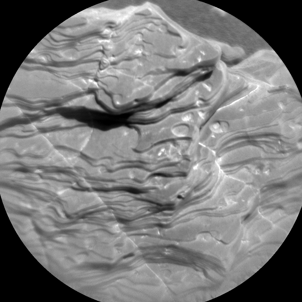
Curiosity ChemCam Remote Micro-Imager photo taken on Sol 1903, December 13, 2017.
Credit: NASA/JPL-Caltech/LANL
Radiation Assessment Detector (RAD), Dynamic Albedo of Neutrons (DAN) and Rover Environmental Monitoring Station (REMS) measurements were also on the schedule.
Traverse map
A Curiosity’s traverse map through Sol 1901 has been issued. This map shows the route driven by NASA’s Mars rover Curiosity through the 1901 Martian day, or sol, of the rover’s mission on Mars (December 11, 2017).

Credit: NASA/JPL-Caltech/Univ. of Arizona
Numbering of the dots along the line indicate the sol number of each drive. North is up. The scale bar is 1 kilometer (~0.62 mile).
From Sol 1896 to Sol 1901, Curiosity had driven a straight line distance of about 87.25 feet (26.59 meters), bringing the rover’s total odometry for the mission to 11.11 miles (17.88 kilometers).
The base image from the map is from the High Resolution Imaging Science Experiment Camera (HiRISE) in NASA’s Mars Reconnaissance Orbiter.
 Posted in Space News

