 By
By  December 2nd, 2017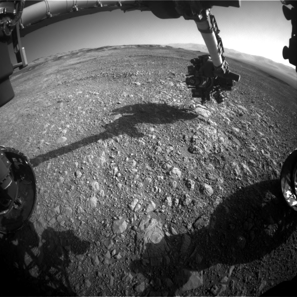
Curiosity Front Hazcam Left B image taken on Sol 1892, December 2, 2017.
Credit: NASA/JPL-Caltech
NASA’s Curiosity Mars rover is closing out Sol 1892 duties.
Late last week, Mark Salvatore, a planetary geologist at the University of Michigan in Dearborn, reported the rover was preparing to hit the road for a next stop on Vera Rubin Ridge.
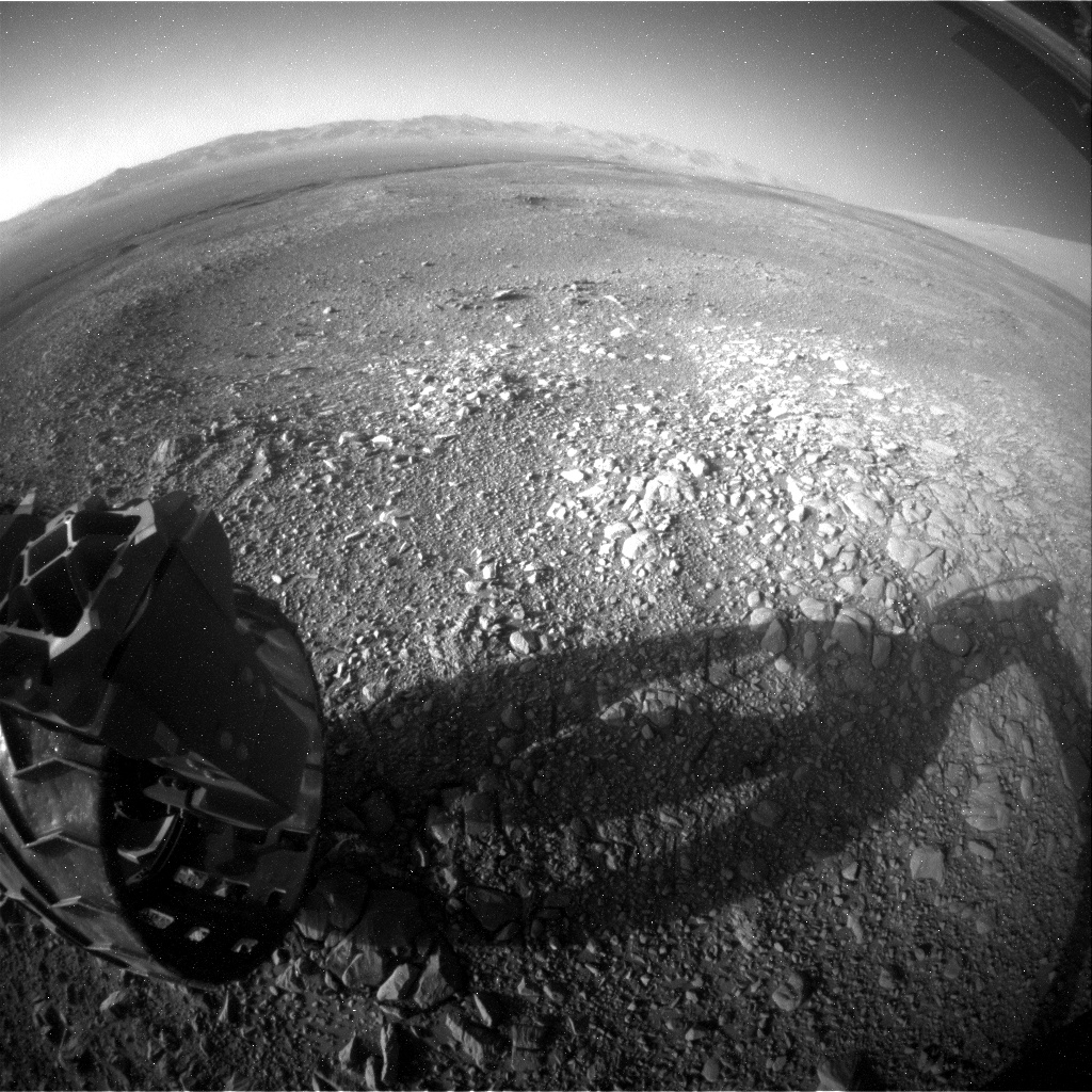
Curiosity Rear Hazcam Left B photo acquired on Sol 1892, December 2, 2017.
Credit: NASA/JPL-Caltech
Unique patch of terrain
Curiosity’s Mastcam was slated to take a multispectral image of the region where the robot will be headed over the next few days, Salvatore said, “in an effort to fully characterize the spectral diversity of this location and to compare with orbital remote sensing data.”
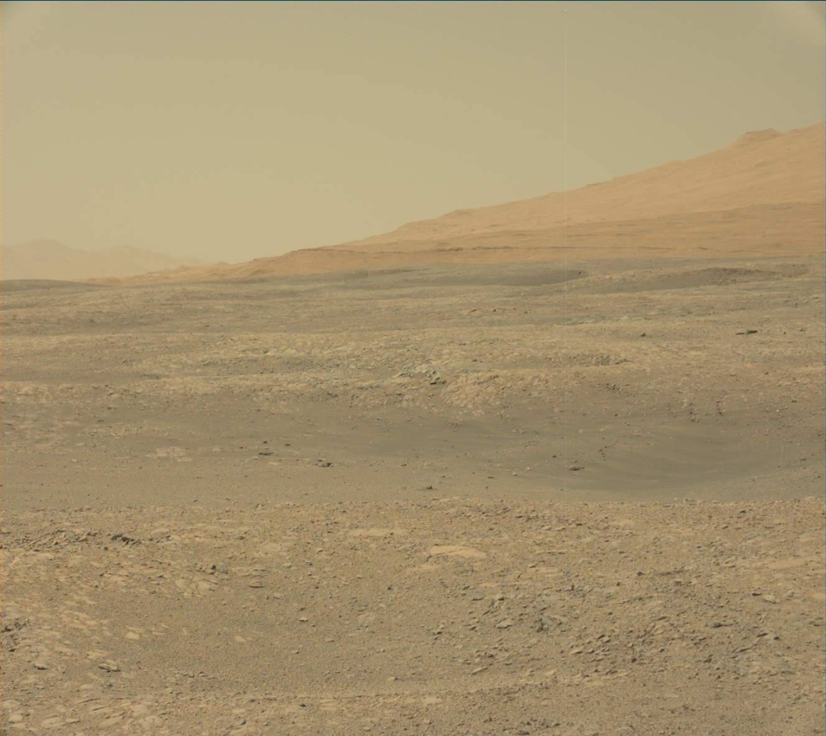
Curiosity Mastcam Left image taken on Sol 1891, December 1, 2017.
Credit: NASA/JPL-Caltech/MSSS
The rover is slated to continue wheeling to the southeast, headed for a “unique patch” of terrain that appears interesting in high-resolution orbital data. “The hope is to reach this unit on this drive, as that will allow the science team to investigate this interesting region over the duration of the weekend’s plan,” Salvatore added.
Credit: NASA/JPL-Caltech/Univ. of Arizona
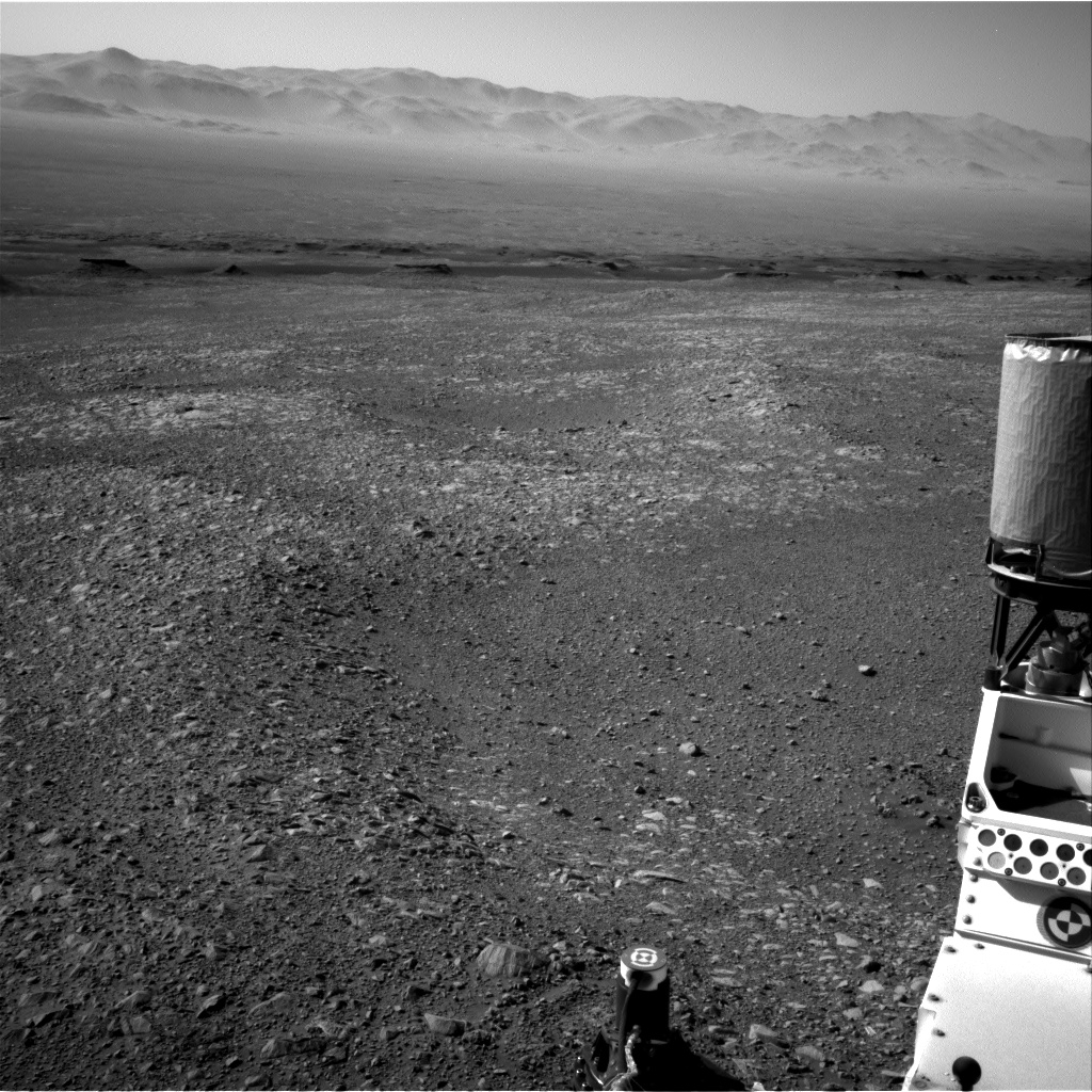
Curiosity Navcam Right B photo acquired on Sol 1891, December 1, 2017.
Credit: NASA/JPL-Caltech
Traverse map
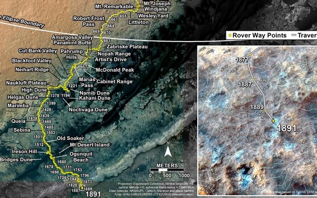
Meanwhile, a new Curiosity traverse map has been issued.
The map shows the route driven by NASA’s Mars rover Curiosity through the 1891 Martian day, or sol, of the rover’s mission on Mars (December 01, 2017).
Numbering of the dots along the line indicate the sol number of each drive. North is up. The scale bar is 1 kilometer (~0.62 mile).
From Sol 1889 to Sol 1891, Curiosity had driven a straight line distance of about 45.65 feet (13.91 meters), bringing the rover’s total odometry for the mission to 11.06 miles (17.81 kilometers).
The base image from the map is from the High Resolution Imaging Science Experiment Camera (HiRISE) in NASA’s Mars Reconnaissance Orbiter.
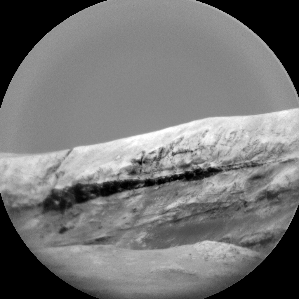
Curiosity ChemCam Remote Micro-Imager photo taken on Sol 1891, December 1, 2017.
Credit: NASA/JPL-Caltech/LANL
 Posted in Space News

