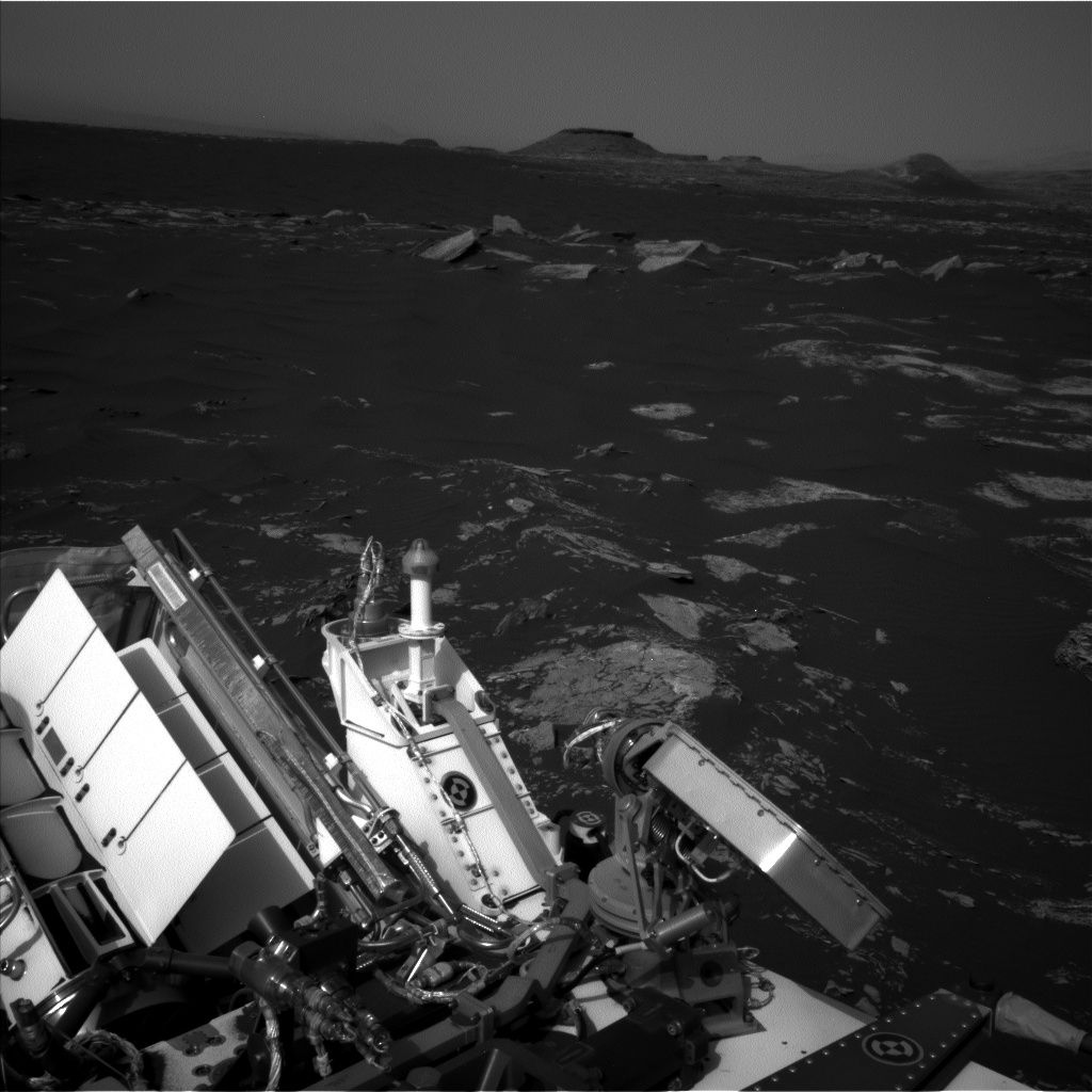
Curiosity Mastcam Right image taken on Sol 1661, April 8, 2017.
Credit: NASA/JPL-Caltech/MSSS
NASA’s Curiosity Mars rover is performing Sol 1663 science duties.
On Sol 1662 the robot drove roughly 79 feet (24 meters) and another drive is planned for Sol 1664.
Targeted remote sensing
“Before the drive, lots of targeted remote sensing is planned,” reports Ken Herkenhoff of the USGS Astrogeology Science Center in Flagstaff, Arizona.
Curiosity Mastcam Right image taken on Sol 1661, April 8, 2017.
Credit: NASA/JPL-Caltech/MSSS
That plan calls for the rover’s Chemistry & Camera (ChemCam) and Right Mastcam to observe a bright rock named “Peaks Island,” an exposure of bedding dubbed “Great Wass Island,” a sand ripple called “Baldpate Mountain,” and an interesting rock that was selected by Autonomous Exploration for Gathering Increased Science (AEGIS) software after the Sol 1662 drive, now named “Chebeague Island.”
Mosaic of outcrops
Curiosity’s Mastcam is scheduled to acquire a stereo mosaic of outcrops toward the south, in the direction of the planned drive, Herkenhoff adds.
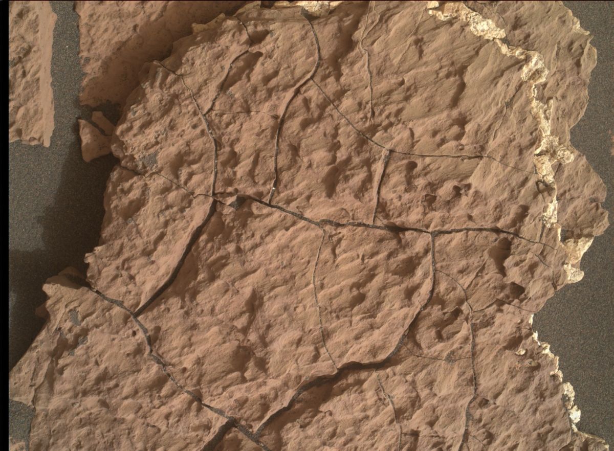
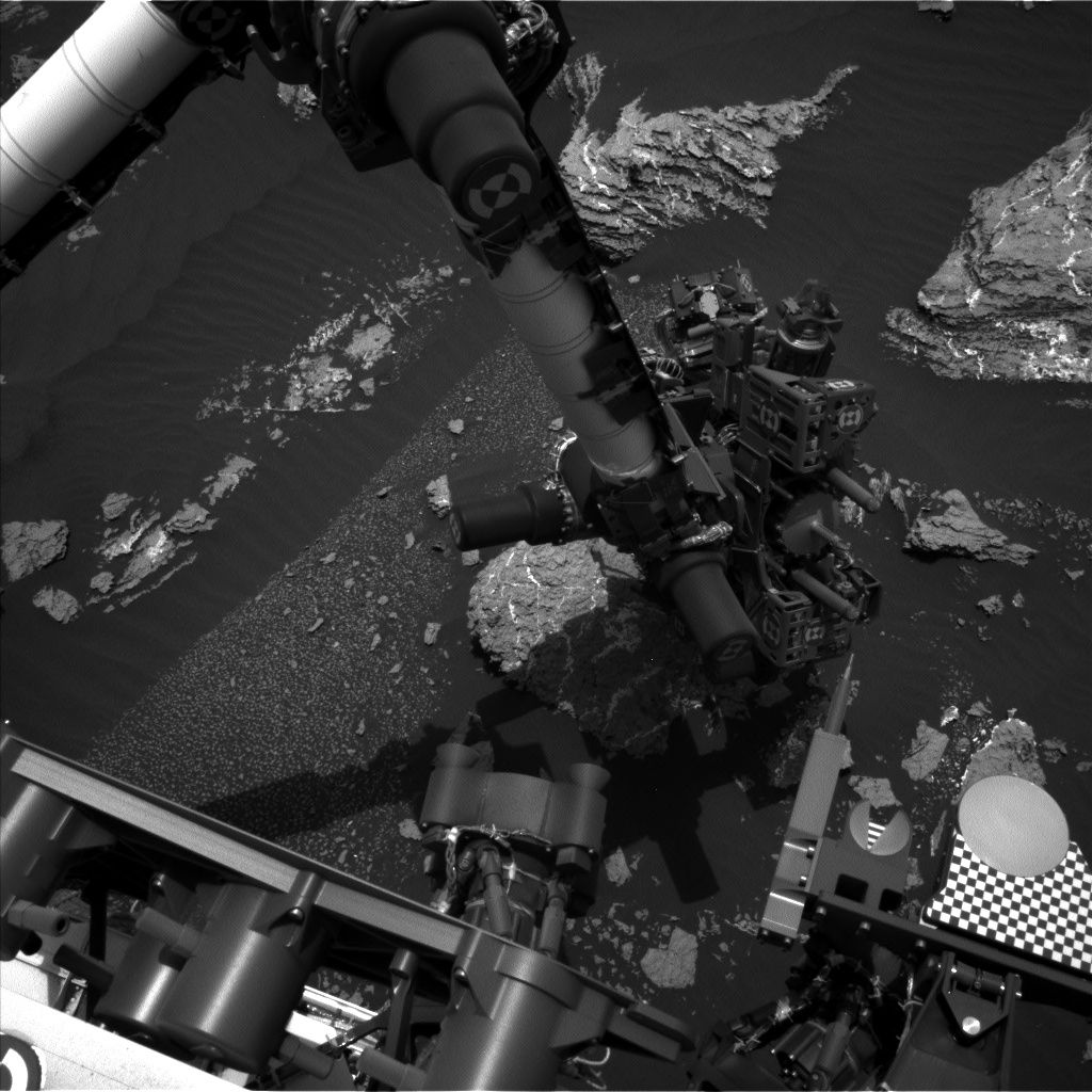
Photo taken by Curiosity’s Mars Hand Lens Imager (MAHLI), located on the turret at the end of the rover’s robotic arm. Sol 1661, April 8, 2017.
Credit: NASA/JPL-Caltech/MSSS
Untargeted remote sensing planned for Sol 1665 includes passive (no laser) ChemCam sky observations and two ground LIBS (Laser Induced Breakdown Spectroscopy) targets selected using the AEGIS software.
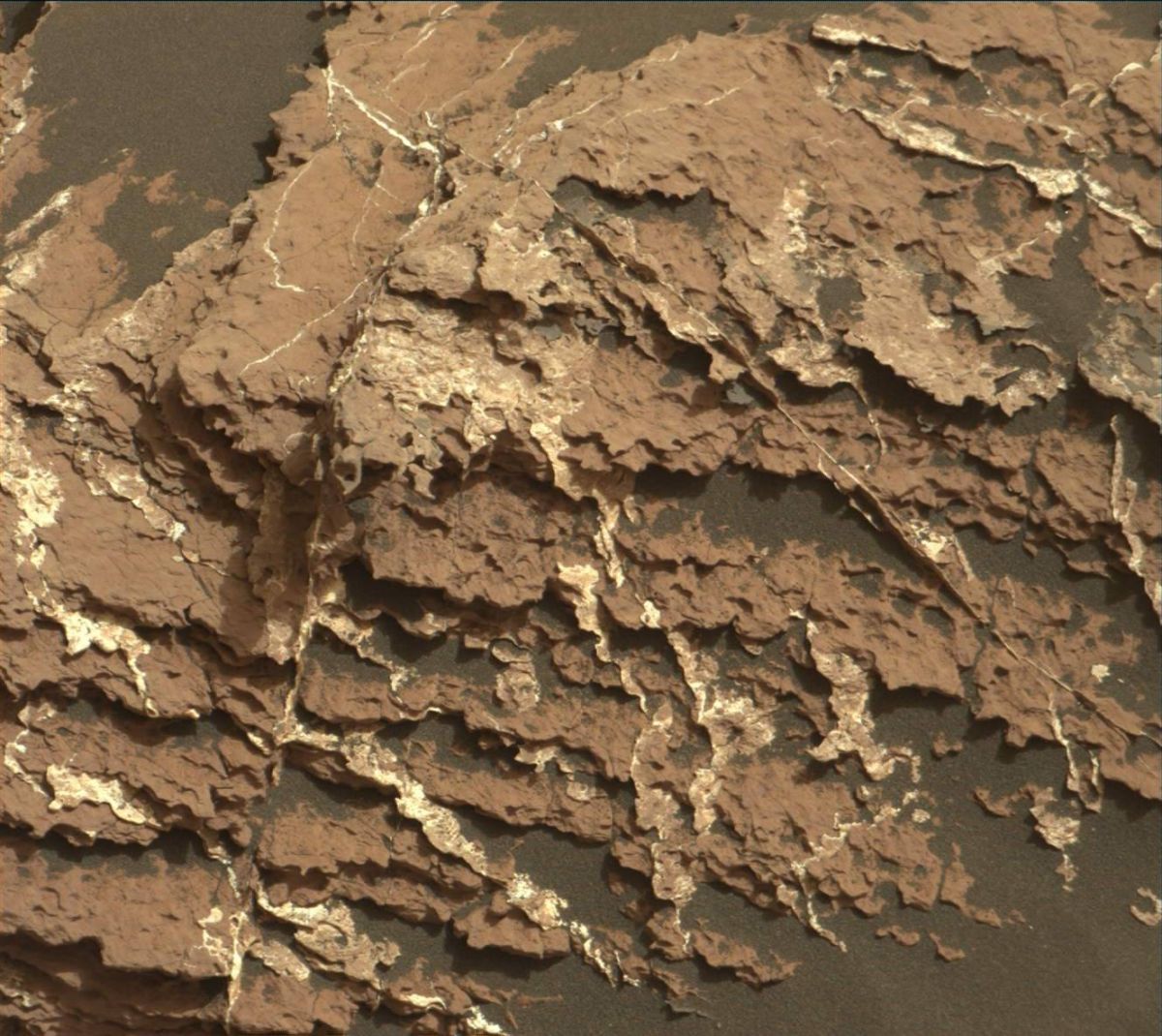
Curiosity Mastcam Right image taken on Sol 1661, April 8, 2017.
Credit: NASA/JPL-Caltech/MSSS
Curiosity’s Navcam is slated to then search for dust devils and clouds before the rover rests in preparation for Wednesday’s plan, Herkenhoff concludes.

