
Long distance look of cliff face of Mt. Sharp. Curiosity ChemCam Remote Micro-Imager photo taken on Sol 1661, April 8, 2017.
Credit: NASA/JPL-Caltech/LANL
NASA’s Curiosity rover is now performing Sol 1662 science duties.
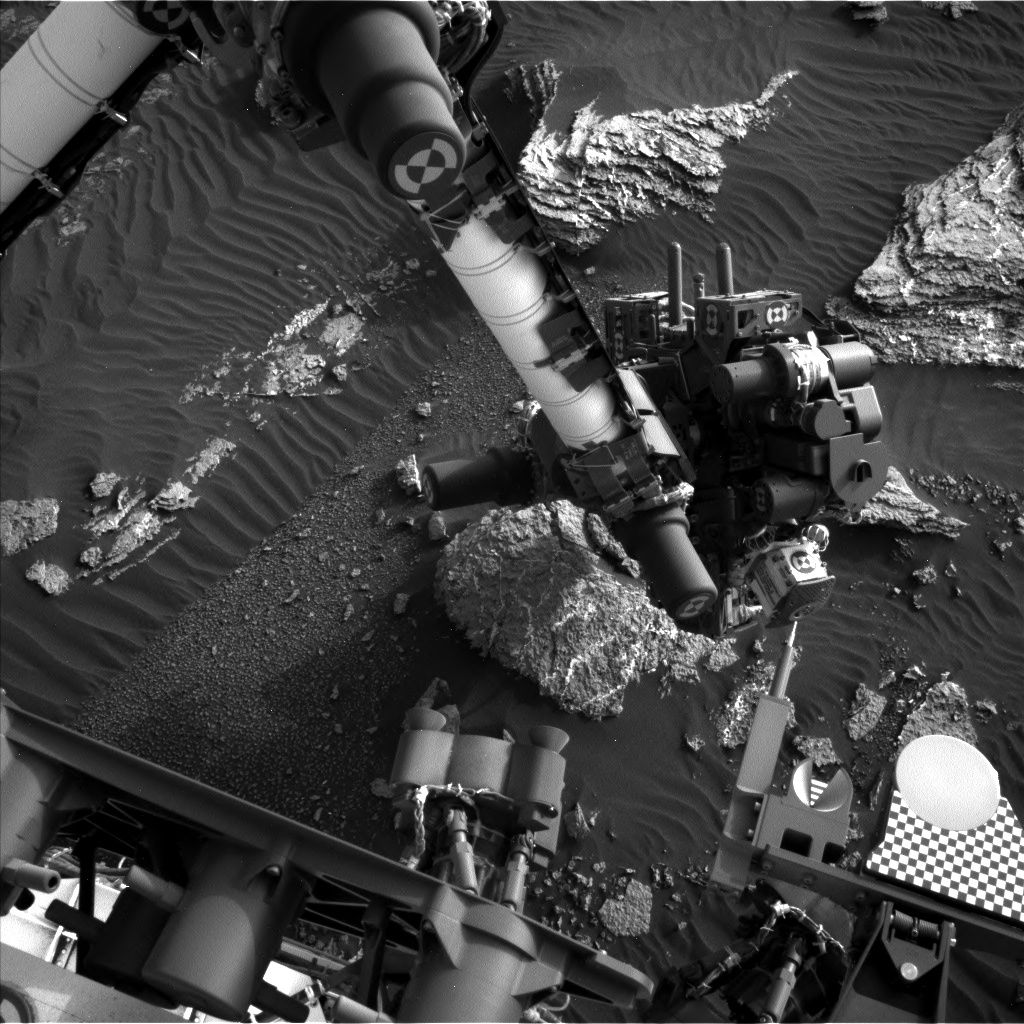
A recent drive by the rover placed it away from the “Ogunquit Beach” sand dune, taking the robot about 115 feet (35 meters) to the southwest.
Curiosity has wheeled into “a good location to continue measuring the composition of the bedrock as we drive up Mt. Sharp,” reports Ryan Anderson, a planetary scientist at the USGS Astrogeology Science Center in Flagstaff, Arizona.
Mt. Sharp imagery
A Sol 1661 plan started out with a Mastcam mosaic of “Old Speck Mountain” and some Navcam cloud detection observations.
Curiosity Navcam Left B image taken on Sol 1661, April 8, 2017.
Credit: NASA/JPL-Caltech
The rover’s Chemistry & Camera (ChemCam) was slated then to analyze the targets “Blueberry Mountain,” “Brewer Mountain,” and “Mud Hole” with Mastcam documentation images for each target.
Also carried out where long distance ChemCam images of a cliff face on Mt. Sharp.
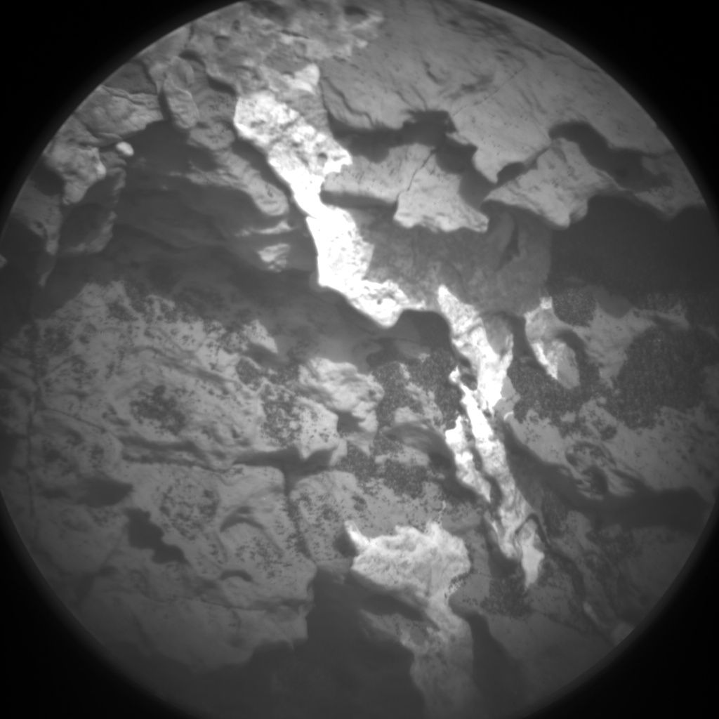
Curiosity ChemCam Remote Micro-Imager photo taken on Sol 1661, April 8, 2017.
Credit: NASA/JPL-Caltech/LANL
Curiosity ChemCam Remote Micro-Imager on Sol 1661 April 8, 2017
Credit: NASA/JPL-Caltech/LANL
Overnight analysis
Once the remote sensing is done, Curiosity’s Mars Hand Lens Imager (MAHLI) was slated to take pictures of the targets “Paradise Hill” and “Treasure Island.”
The rover’s Alpha Particle X-Ray Spectrometer (APXS) was then to analyze both targets, with an overnight analysis of Treasure Island.
Easy day
On Sol 1662, the plan calls for driving again, followed by an autonomously targeted ChemCam observation, and on sol 1663 Curiosity will have “a pretty easy day,” Anderson notes, with some Mastcam atmospheric dust measurements and a Mars Descent Imager (MARDI) image of the ground beneath the rover.
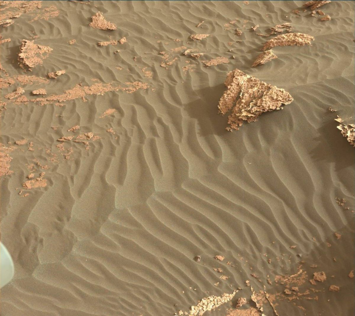
Curiosity Mastcam Left image taken on Sol 1659, April 6, 2017.
Credit: NASA/JPL-Caltech/MSSS
Anderson says that the environmental science group has been working to recover the activities that were lost last weekend because of the Deep Space Network outage, such as the morning imaging suite and 15-frame Navcam dust devil movie, while also continuing the normal cadence of monitoring activities.
Sandy DAN
Earlier in the week, a special Dynamic Albedo of Neutrons (DAN) active measurement was acquired over the sand of “Ogunquit Beach.”
“By turning the rover in place and backing up onto the dune, we placed the field of view of DAN’s active neutron experiment, which is centered between the rear two wheels, right on the dune sand,” Anderson adds. DAN active experiments are performed after each rover position change (usually immediately after a drive), but in this case, the measurement was taken just before the rover departed Ogunquit Beach.
“In a DAN active measurement, neutrons are fired in all directions by the Pulse Neutron Generator, and some neutrons scattered by the soil under the rover return to the DAN detectors. This measurement will allow DAN to compare the amount of hydrogen measured at Namib Dune around sol 1243 to the conditions at Ogunquit Beach,” Anderson concludes.
Dates of planned rover activities are subject to change due to a variety of factors related to the Martian environment, communication relays and rover status.

