 By
By  April 15th, 2020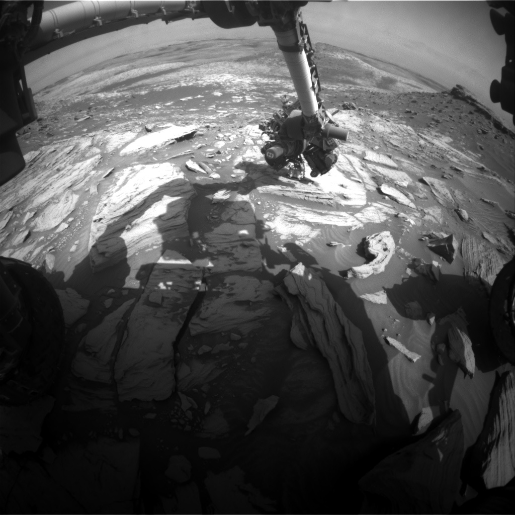
Curiosity Front Hazard Avoidance Camera image taken on Sol 2734, April 15, 2020.
Credit: NASA/JPL-Caltech
NASA’s Curiosity Mars rover is now performing Sol 2734 duties.

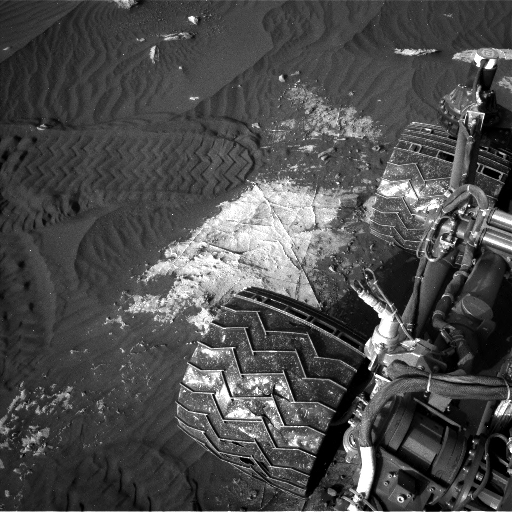
Curiosity Left B Navigation Camera image acquired on Sol 2734, April 15, 2020.
Credit: NASA/JPL-Caltech
Reports Mark Salvatore, a planetary geologist at the University of Michigan: “In our last bit of science from on top of the flat topographically raised region known as the “Pediment,” we wanted to chemically characterize some small nodular bedrock targets that we’ve been noticing across the landscape.”
Curiosity Left B Navigation Camera image acquired on Sol 2734, April 15, 2020.
Credit: NASA/JPL-Caltech
Nodular targets
The original plan, Salvatore adds, was for a “touch-and-go,” which would mean a quick Alpha Particle X-Ray Spectrometer (APXS) integration over a target of interest before driving away to a new location.
However, the rover workspace contained plenty of great nodular targets, most were just outside of the reach of the rover’s arm, Salvatore notes.
“In addition, the timing of the short APXS integration was not ideal to collect clean data. So, instead, the “quaran-team” selected a small nodule that was within the arm’s reach, and planned overnight integrations on three nearby locations that will allow us to separate the composition of the nodule from the bedrock,” Salvatore says.
Credit: NASA/JPL-Caltech/Univ. of Arizona

Curiosity Left B Navigation Camera image acquired on Sol 2734, April 15, 2020.
Credit: NASA/JPL-Caltech
To accompany this APXS integration, scientists also identified both nodular and “typical” bedrock targets to characterize using the Chemistry and Camera (ChemCam) instrument, which will provide additional chemical analyses of the surface of the Pediment before dropping back into the Clay-Bearing Unit, Salvatore reports.
Road map
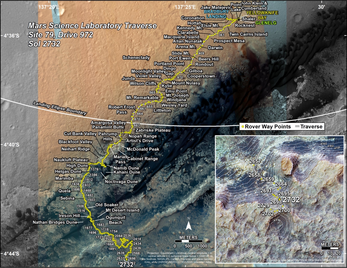
Meanwhile, a new road map shows the route driven by NASA’s Mars rover Curiosity through the 2732 Martian day, or sol, of the rover’s mission on Mars (April 13, 2020).
Numbering of the dots along the line indicate the sol number of each drive. North is up. The scale bar is 1 kilometer (~0.62 mile).
From Sol 2729 to Sol 2732, Curiosity had driven a straight line distance of about 52.78 feet (16.09 meters), bringing the rover’s total odometry for the mission to 13.64 miles (21.96 kilometers).
The base image from the map is from the High Resolution Imaging Science Experiment Camera (HiRISE) in NASA’s Mars Reconnaissance Orbiter.
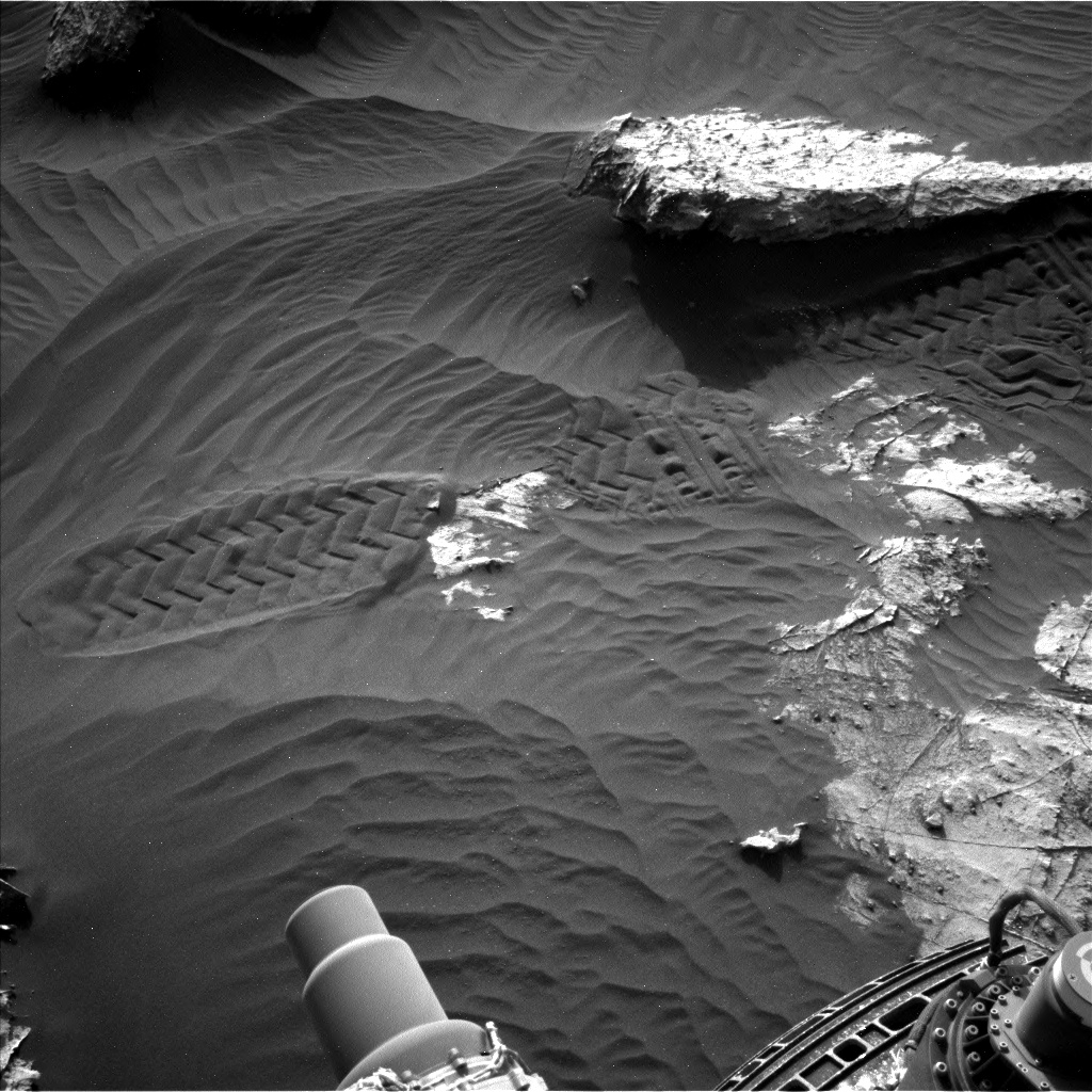
Curiosity Left B Navigation Camera image acquired on Sol 2734, April 15, 2020.
Credit: NASA/JPL-Caltech
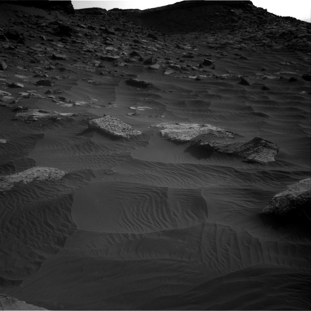
Curiosity Right B Navigation Camera image acquired on Sol 2734, April 15, 2020.
Credit: NASA/JPL-Caltech
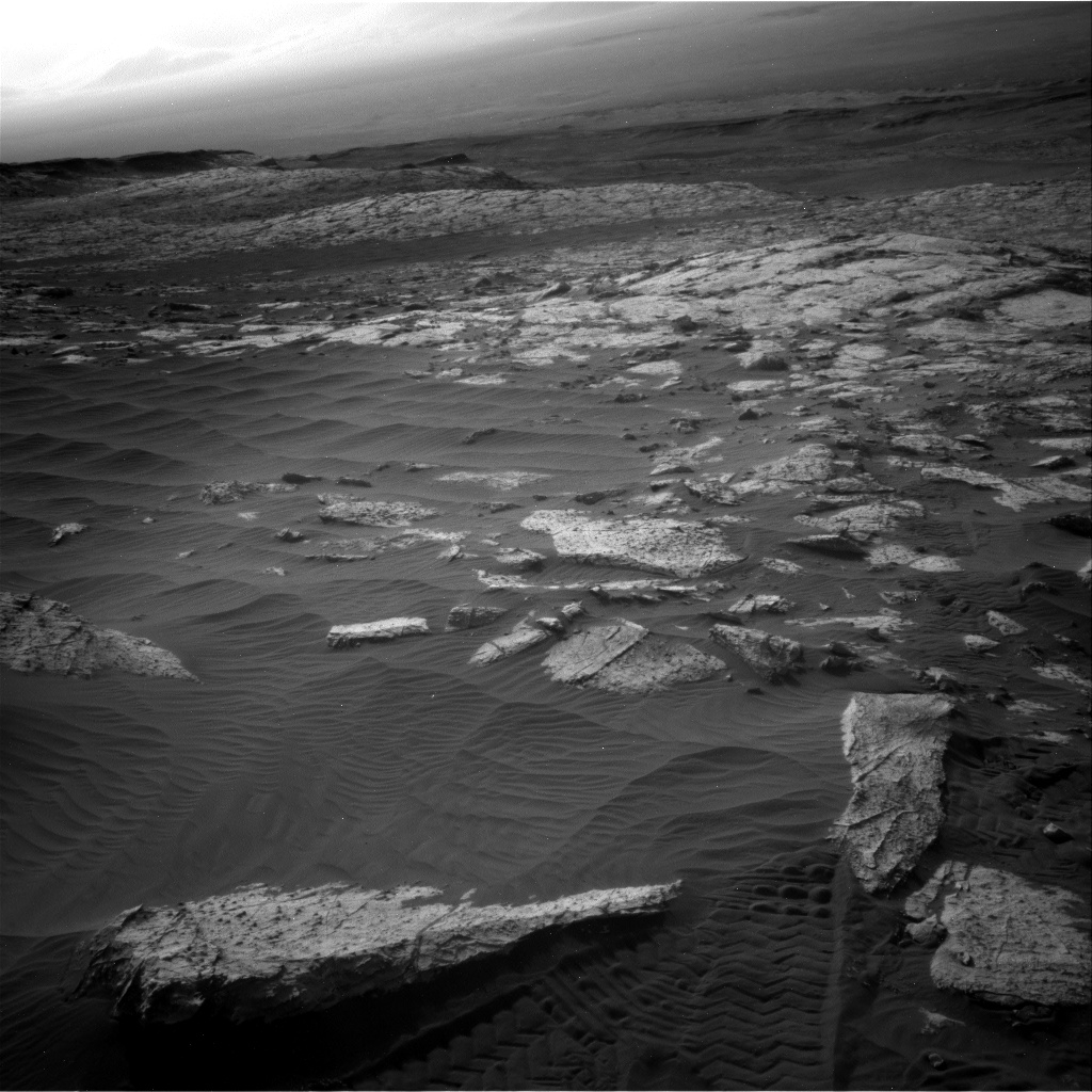
Curiosity Right B Navigation Camera image acquired on Sol 2734, April 15, 2020.
Credit: NASA/JPL-Caltech
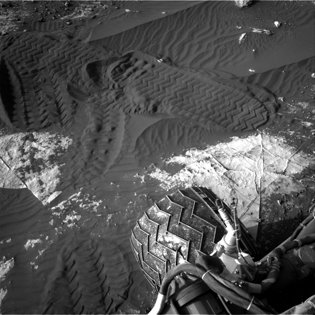
Curiosity Right B Navigation Camera image acquired on Sol 2734, April 15, 2020.
Credit: NASA/JPL-Caltech
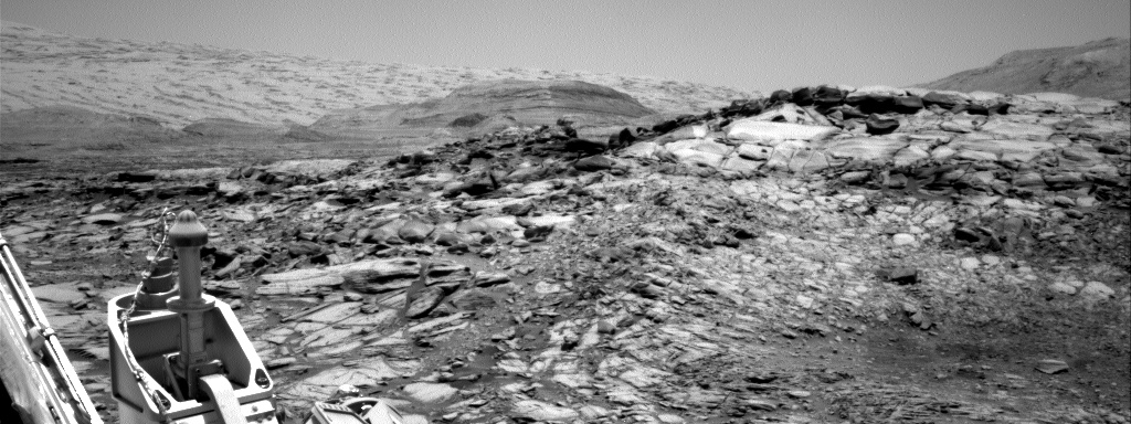
Curiosity Right B Navigation Camera image acquired on Sol 2734, April 15, 2020.
Credit: NASA/JPL-Caltech
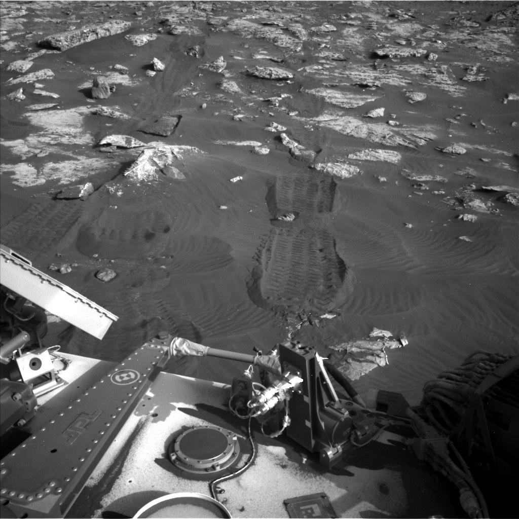
Curiosity Left B Navigation Camera image acquired on Sol 2734, April 15, 2020.
Credit: NASA/JPL-Caltech
 Posted in Space News

