Credit: NASA/JPL-Caltech/Univ. of Arizona
NASA’s Curiosity rover is now in Sol 2165.
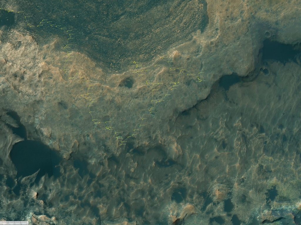
A new road map has been issued showing the robot’s wheeling about Mars since landing in August 2012.
The map shows the route driven by NASA’s Mars rover Curiosity through the 2163 Martian day, or sol, of the rover’s mission on Mars (September 07, 2018).
Numbering of the dots along the line indicate the sol number of each drive. North is up.
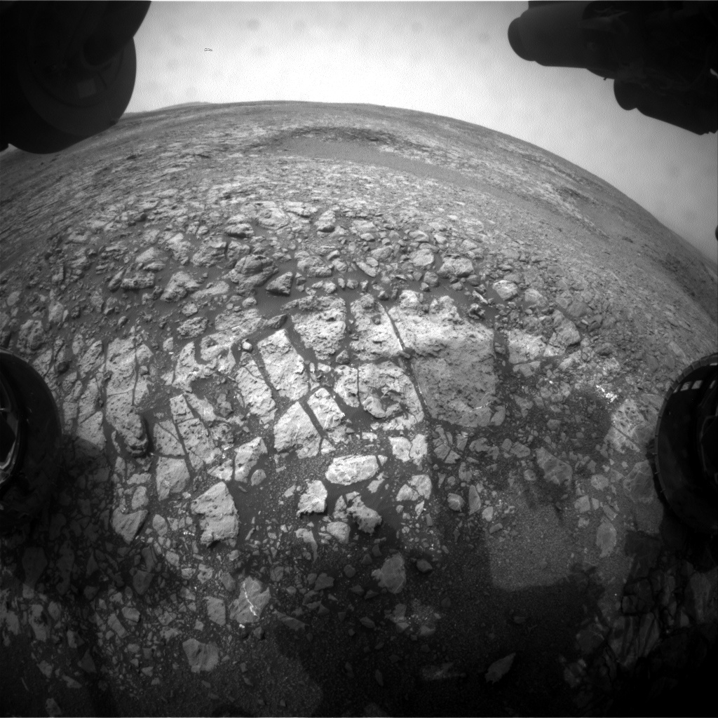
Curiosity Front Hazcam Right B photo acquired on Sol 2164, September 7, 2018.
Credit: NASA/JPL-Caltech
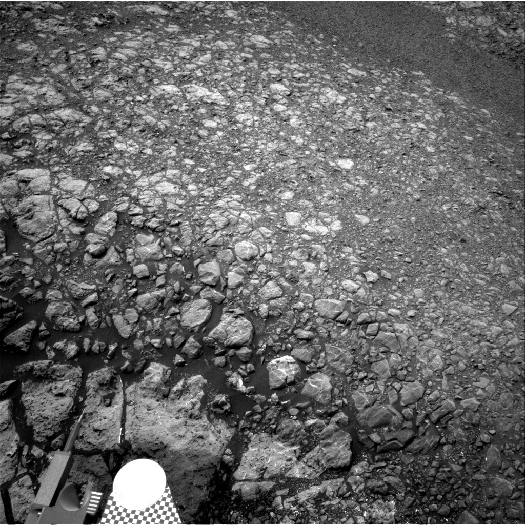
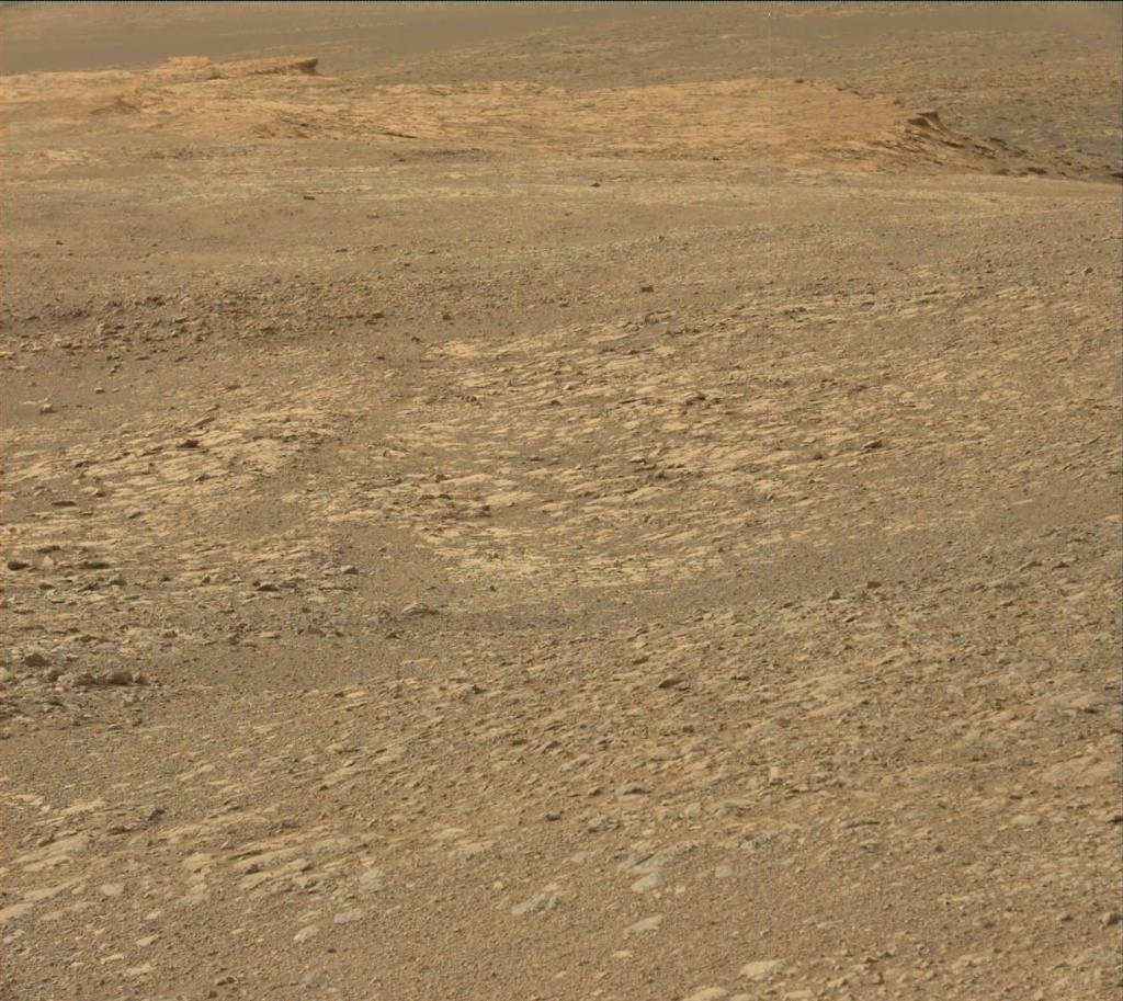
Curiosity Navcam Right B image taken on Sol 2164, September 7, 2018.
Credit: NASA/JPL-Caltech
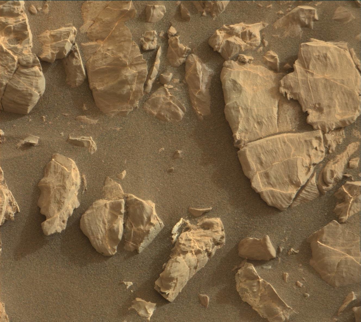
Curiosity Mastcam Right image acquired on Sol 2163, September 6, 2018.
Credit: NASA/JPL-Caltech/MSSS

Curiosity Mastcam Left photo taken on Sol 2163, September 6, 2018.
Credit: NASA/JPL-Caltech/MSSS
From Sol 2161 to Sol 2163, Curiosity had driven a straight line distance of about 50.69 feet (15.45 meters).
Curiosity Mastcam Left photo taken on Sol 2163, September 6, 2018.
Credit: NASA/JPL-Caltech/MSSS
Since touching down in Bradbury Landing in August 2012, Curiosity has driven 12.26 miles (19.74 kilometers).
The base image from the map is from the High Resolution Imaging Science Experiment Camera (HiRISE) in NASA’s Mars Reconnaissance Orbiter.
Red planet scenes
Meanwhile, new color imagery from the rover show its continuing exploration of Vera Rubin Ridge:

