Credit: NASA/JPL-Caltech/Univ. of Arizona
NASA’s Curiosity Mars rover is deep into Sol 2040 operations.
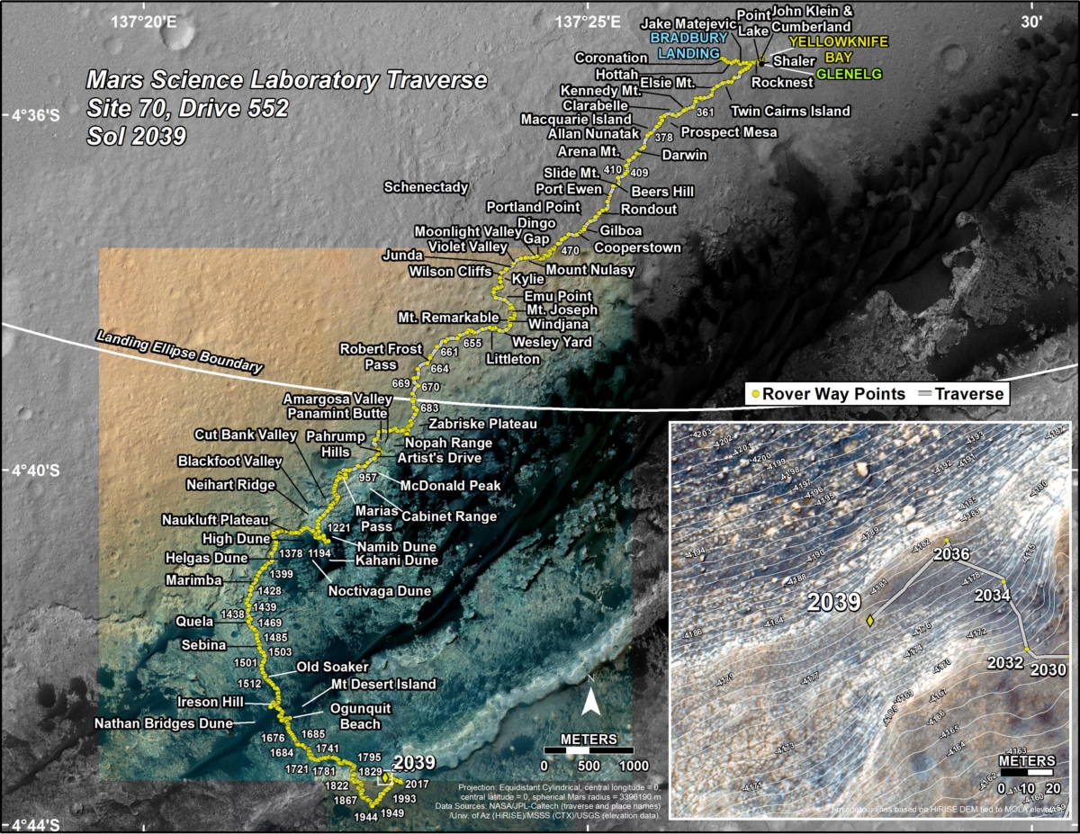
A new Curiosity traverse map through Sol 2039 has been issued.
The map shows the route driven by the robot through the 2039 Martian day, or sol, of the rover’s mission on Mars (May 02, 2018).
Numbering of the dots along the line indicate the sol number of each drive. North is up. The scale bar is 1 kilometer (~0.62 mile).

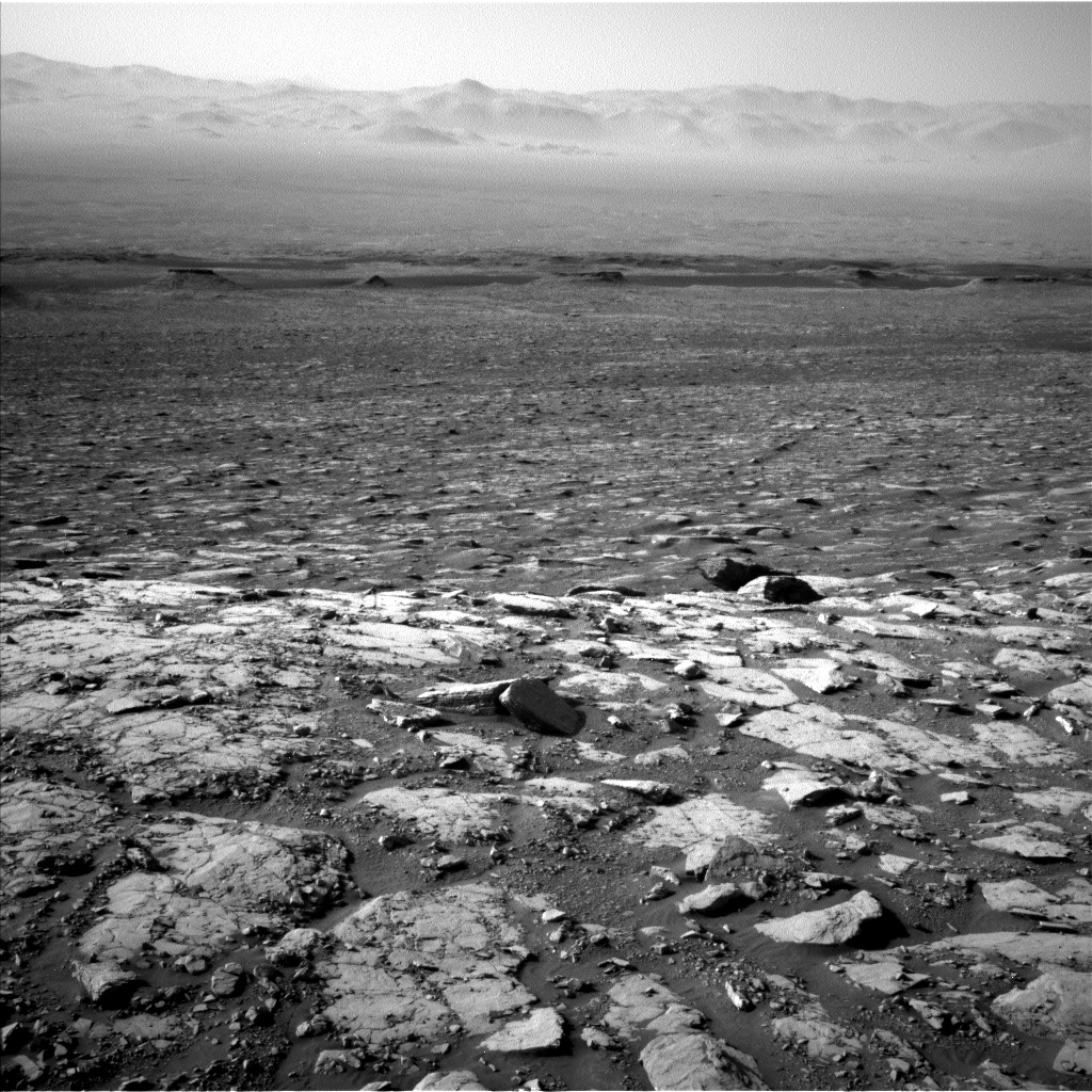
Curiosity Front Hazcam Left B photo taken on Sol 2040, May 3, 2018.
Credit: NASA/JPL-Caltech
From Sol 2036 to Sol 2039, Curiosity had driven a straight line distance of about 141.04 feet (42.99 meters), bringing the rover’s total odometry for the mission to 11.76 miles (18.93 kilometers).
The base image from the map is from the High Resolution Imaging Science Experiment Camera (HiRISE) in NASA’s Mars Reconnaissance Orbiter.
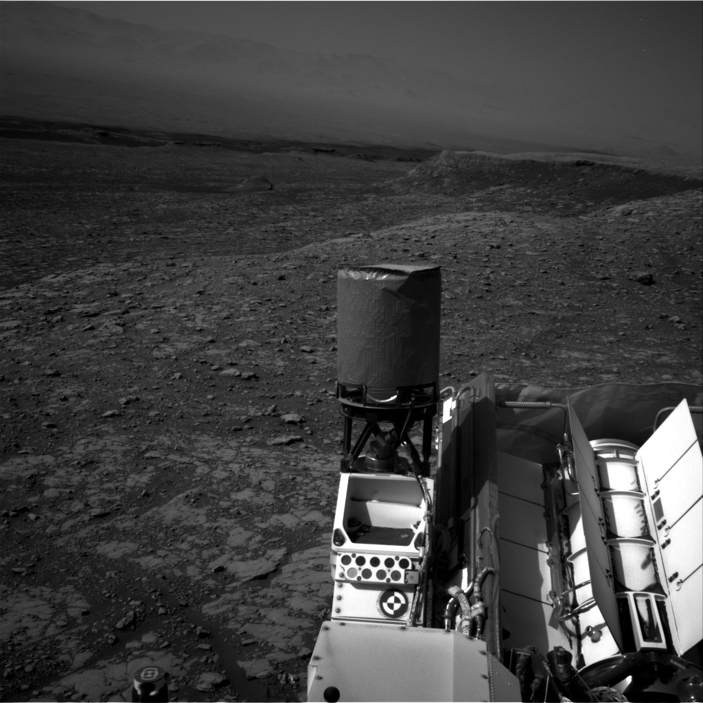
Curiosity Navcam Left B image acquired on Sol 2040, May 3, 2018.
Credit: NASA/JPL-Caltech
Curiosity Navcam Right B image taken on Sol 2040, May 3, 2018.
Credit: NASA/JPL-Caltech
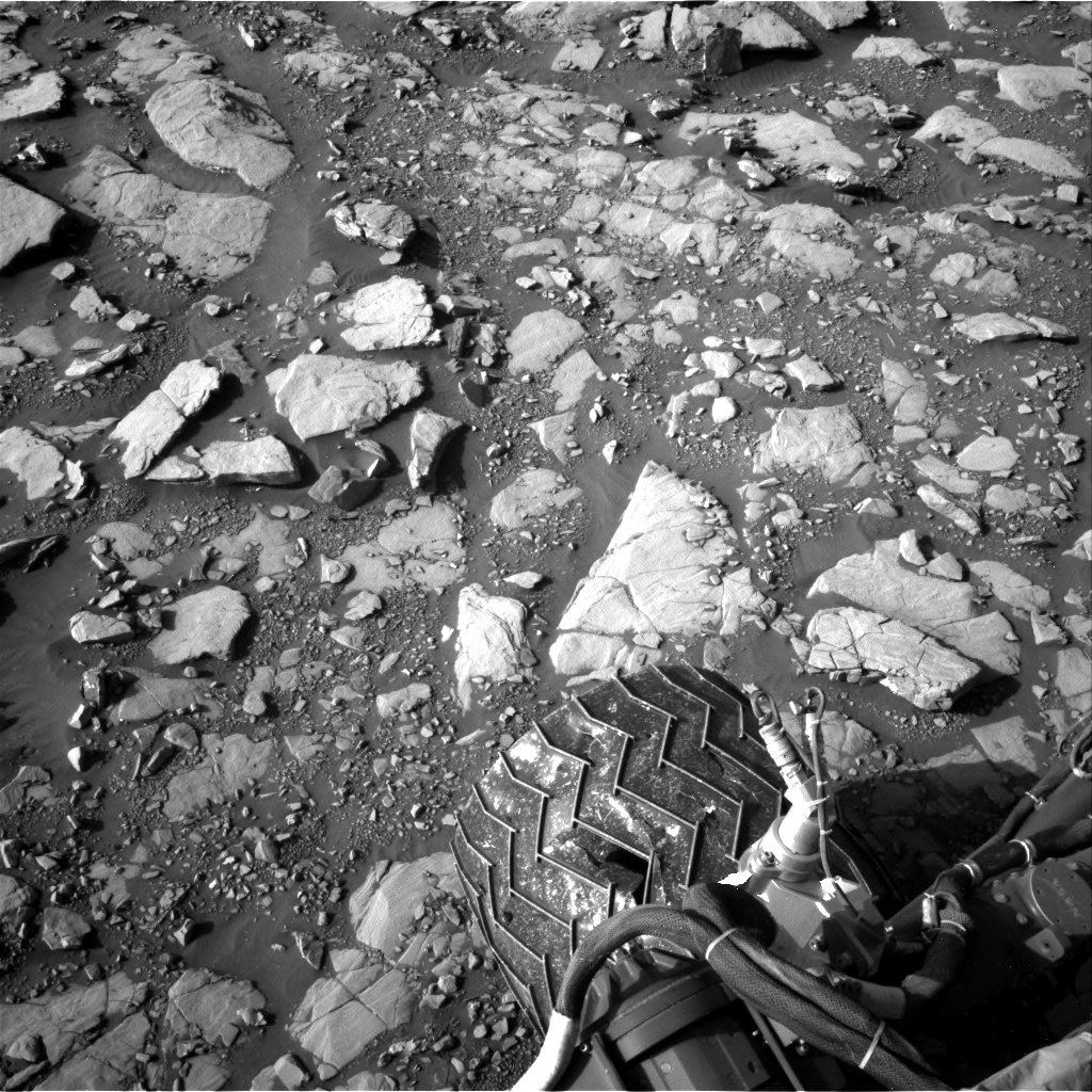
Curiosity Navcam Right B image taken on Sol 2039, May 2, 2018.
Credit: NASA/JPL-Caltech

