 By
By  April 16th, 2020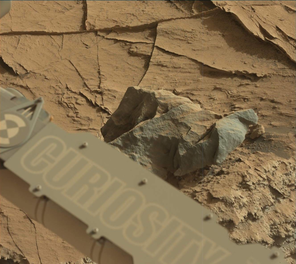
Curiosity Mast Camera Left image taken on Sol 2734, April 15, 2020.
Credit: NASA/JPL-Caltech/MSSS
NASA’s Curiosity Mars rover is now carrying out Sol 2735 tasks.
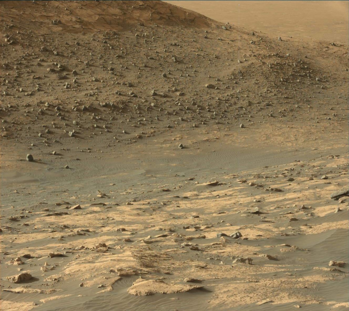
Curiosity Mast Camera Left image taken on Sol 2734, April 15, 2020.
Credit: NASA/JPL-Caltech/MSSS
Susanne Schwenzer, a planetary geologist at The Open University, Milton Keynes, United Kingdom, reports that the rover is on its way back downhill, passing by previously surveyed structures, veins and nodules when the robot was climbing up that area.
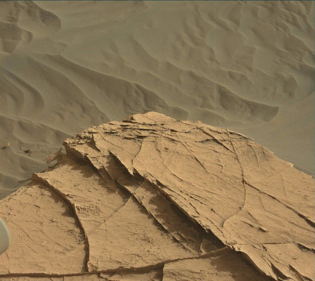
Curiosity Mast Camera Left image taken on Sol 2734, April 15, 2020.
Credit: NASA/JPL-Caltech/MSSS
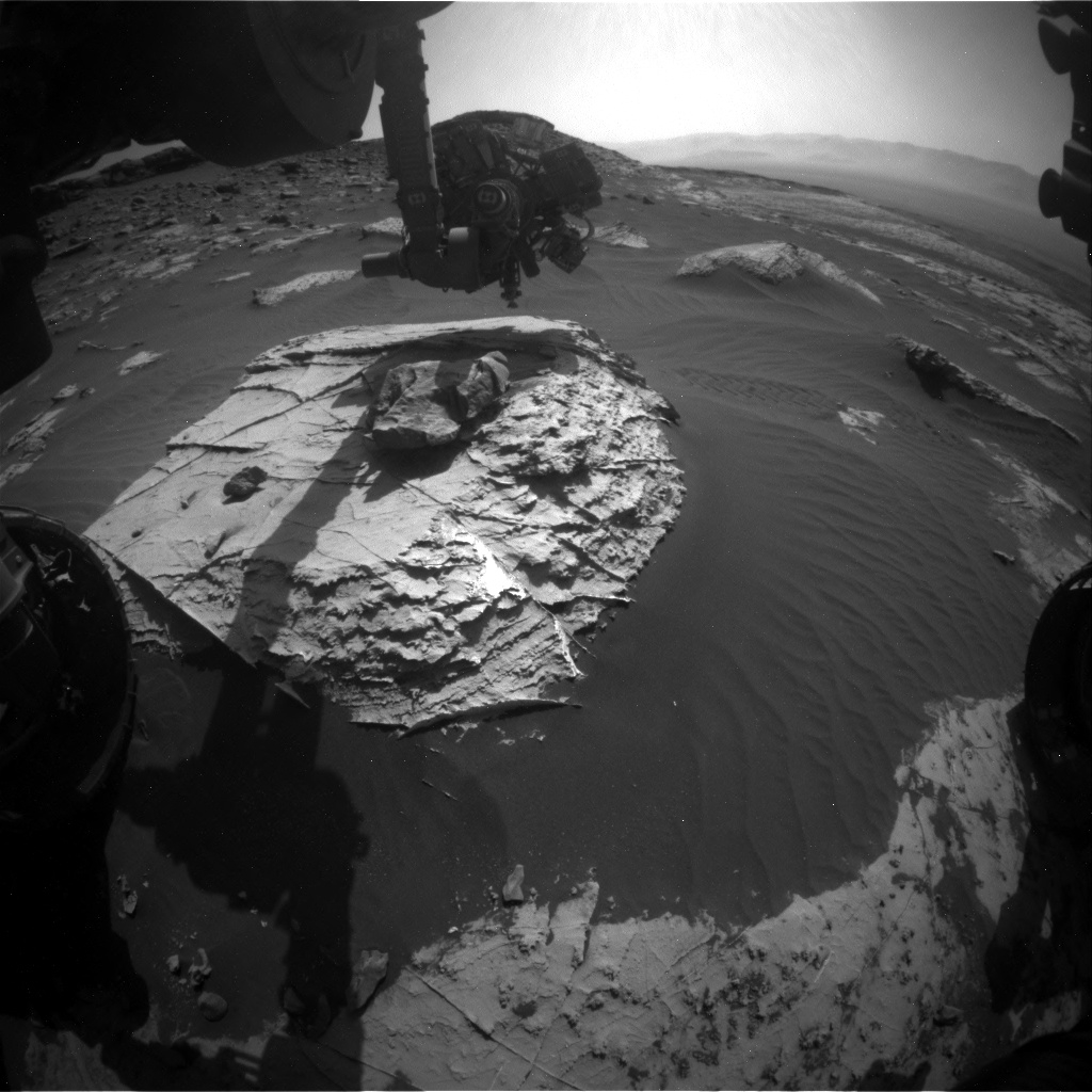
“As the time was pressing on our way up, we are now taking full advantage of a second serving of this piece of bedrock,” Schwenzer explains.
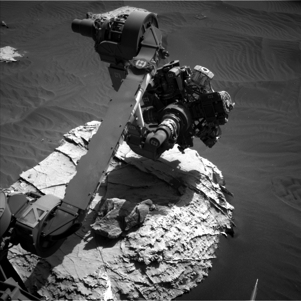
First, the Alpha Particle X-Ray Spectrometer (APXS) instrument is slated to study which elements are present in the bedrock.
“Back on sol 2659 there was only time for a ‘touch and go’ measurement, which are naturally of lower statistical quality than longer overnight integrations and do not allow us to brush the dust off before,” Schwenzer adds.
Dust off
The rover’s Mars Hand Lens Imager (MAHLI) camera on the end of the robotic arm will document the measured area after the robot brushes dust off this spot with it Dust Removal Tool (DRT).
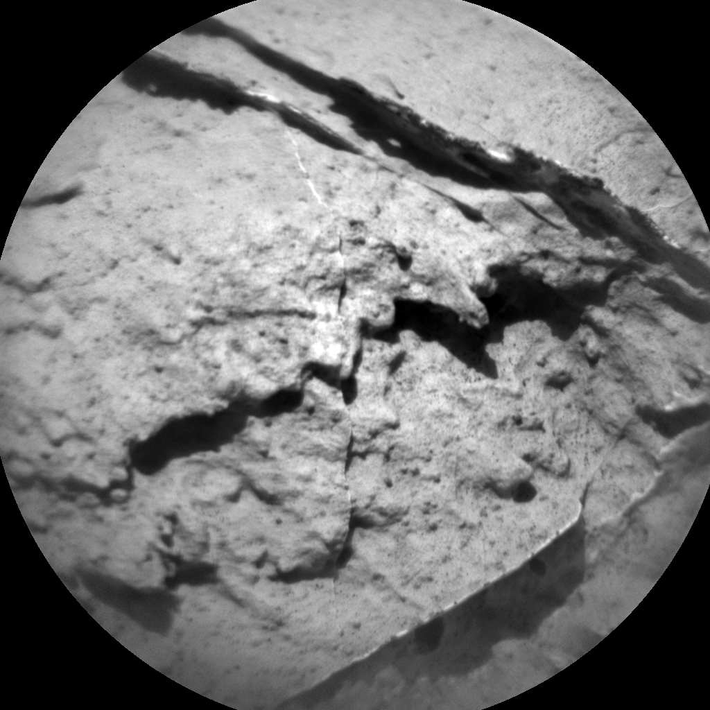
Curiosity Chemistry & Camera image acquired on Sol 2735, April 16, 2020.
Credit: NASA/JPL-Caltech/LANL
Thus, the target “Creig” is set to be an overnight APXS measurement after DRT of the area, improving the statistics on APXS bedrock measurements at this location.
Credit: NASA/JPL-Caltech/Univ. of Arizona
Chemistry and Camera (ChemCam) did get many bedrock points on the way up, for which reason the team focuses the instrument on the other features in the scene: documenting the workspace with a mosaic that includes all the activities by the chemistry experiments, Schwenzer says.
Last dust storm
“The environmental working group has their standard sequence of observations, Schwenzer points out, “which include Navcam line of sight, a dust devil movie, crater rim extinction, a dust devil movie and basic tau. This is especially important at this time of the year, since it is about now that the last big dust storm started.”
Curiosity’s Dynamic Albedo of Neutrons (DAN) instrument that measures hydrogen and chlorine, is in the plan, too, in active and passive mode.
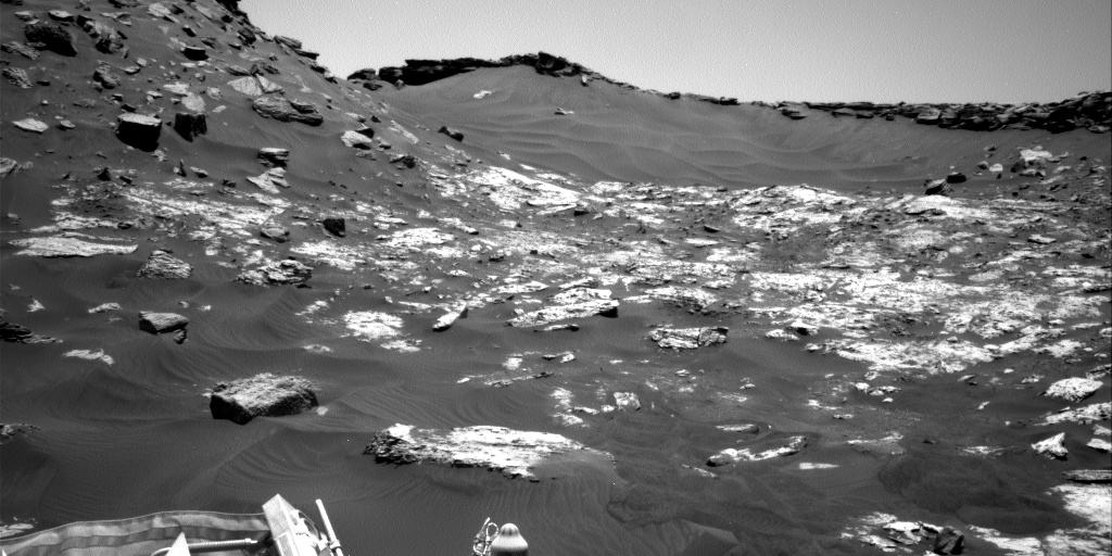
“Finally, Curiosity is going on a long roll,” Schwenzer concludes, “driving all the way into the valley between the buttes to our next area of interest. Stay tuned to see the buttes from the bottom of the valley again after our exciting climb onto and decent from the high place!”
Road map
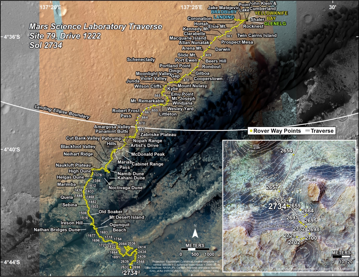
A new road map was issued yesterday showing the route driven by NASA’s Mars rover Curiosity through the 2734 Martian day, or sol, of the rover’s mission on Mars (April 15, 2020).
Numbering of the dots along the line indicate the sol number of each drive. North is up. The scale bar is 1 kilometer (~0.62 mile).
From Sol 2732 to Sol 2734, Curiosity had driven a straight line distance of about 101.86 feet (31.05 meters), bringing the rover’s total odometry for the mission to 13.66 miles (21.99 kilometers).
The base image from the map is from the High Resolution Imaging Science Experiment Camera (HiRISE) in NASA’s Mars Reconnaissance Orbiter.
Curiosity Front Hazard Avoidance Camera Left B photo taken on Sol 2735, April 16, 2020.
Credit: NASA/JPL-Caltech
Curiosity Left B Navigation Camera image taken on Sol 2735, April 16, 2020.
Credit: NASA/JPL-Caltech
Curiosity Right B Navigation Camera photo taken on Sol 2735, April 16, 2020.
Credit: NASA/JPL-Caltech
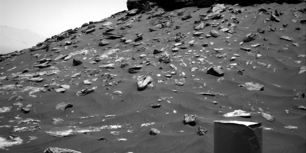
Curiosity Right B Navigation Camera photo taken on Sol 2735, April 16, 2020.
Credit: NASA/JPL-Caltech
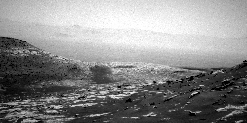
Curiosity Right B Navigation Camera photo taken on Sol 2735, April 16, 2020.
Credit: NASA/JPL-Caltech
 Posted in Space News

