Archive for the ‘Space News’ Category
 Author:
  December 5th, 2017
Credit: U.S. Air Force
The U.S. government should learn to live with the proliferation of space capabilities, even in the face of potential threats, in order to maximize their potential benefits.
That’s one of the key points in a new Mitchell Policy Paper Release: Leading in a Rapidly Changing World: Policy Issues in Global Space Operations
The authors of the new paper: Jim Vedda, Senior Policy Analyst, Center for Space Policy and Strategy,The Aerospace Corporation and Peter Hays, Adjunct Professor of Space Policy and International Relations, Space Policy Institute at George Washington University.

An advanced ground-based radar system – a “Space Fence.”
Credit: Lockheed Martin
Key points
Other key points raised in the paper:
- The United States and the growing list of global space actors currently are participants in a fundamental reordering of many tenets and assumptions that have been long-standing attributes of U.S. national space policy and international agreements.
- The United States should lead by example. Part of this leadership is creating a path that does more than react to the technical evolution, programmatic developments, and perceived intentions of other countries.
- The path should serve U.S. national interests by expanding capabilities that enhance security, the economy, and science.
- The United States should embrace emerging technologies and services rather than try to restrain them.
- U.S. entities can be competitive or even dominant in the world market if the U.S. government encourages and facilitates new space applications.
Vedda and Hays closely analyze many dynamic aspects of civil and national security space operations they believe will demand the attention of decision-makers in the near future, such as space traffic management, the expanded use of small satellites or “smallsats,” satellite and orbital vehicle proximity operations, debris concerns, counterspace threats, and norms of behavior.
Resources
For a copy of “Leading in a Rapidly Changing World: Policy Issues in Global Space Operations,” go to:
http://docs.wixstatic.com/ugd/a2dd91_05d0e00bdd0b4cd9a0e384fd716943f9.pdf
 Posted in
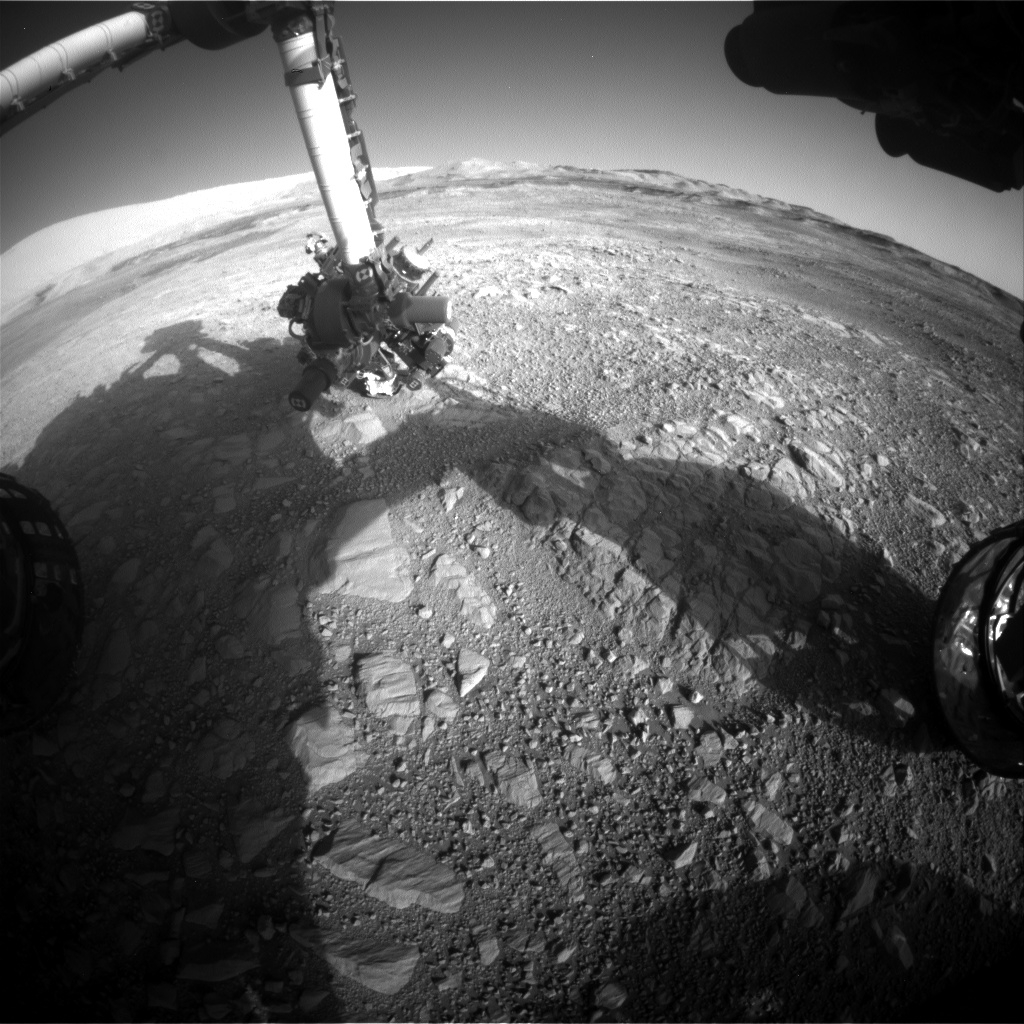
Curiosity Front Hazcam Right B image acquired on Sol 1895, December 5, 2017.
Credit: NASA/JPL-Caltech
Now in Sol 1895, NASA’s Curiosity Mars rover is slated to begin another “action-packed” science investigation for several days on Vera Rubin Ridge.
That’s the report from Mark Salvatore, a planetary geologist from the University of Michigan in Dearborn.
Curiosity spent last weekend analyzing the chemistry of several interesting targets.
Doglegging left
The robot has spent the last several weeks progressing largely to the south, Salvatore notes, with the science team starting to command Curiosity to head more towards the east, doglegging left along the nominal Mt. Sharp Ascent Route (MSAR).
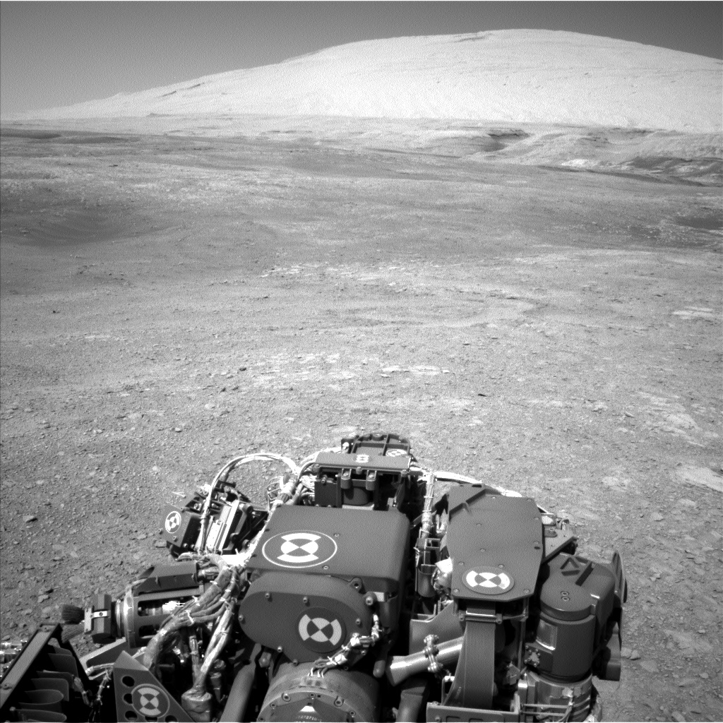
Curiosity Navcam Left B photo taken on Sol 1894, December 4, 2017.
Credit: NASA/JPL-Caltech
“Over the next few days, the plan is for Curiosity to investigate what appears to be a small eroded impact crater as well as an erosional window into some visually distinct bedrock outcrops,” Salvatore explains.
Before reaching these targets, Curiosity will conduct some additional investigations of the ridge and the local blocky materials.
Terrain targets
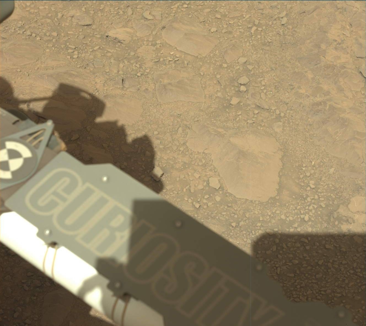
Curiosity Mastcam Left image acquired on Sol 1894, December 4, 2017.
Credit: NASA/JPL-Caltech/MSSS
Sol 1895 was slated to have a 1.5 hour block of time dedicated to remote observations of the surrounding terrain.
Curiosity will begin with some Mastcam color images of two interesting targets in front of the rover: a blocky exposure of fractured bedrock (named “Mapedi”) and a nodular piece of bedrock (named “Koonap”).
Afterwards, the rover’s Chemistry and Camera (ChemCam) will make active laser-induced breakdown spectroscopy (LIBS) measurements on three bedrock targets (named “Naute,” “Mzamba,” and “Nauga.” These targets are different in tone than other dusty materials in front of the rover.
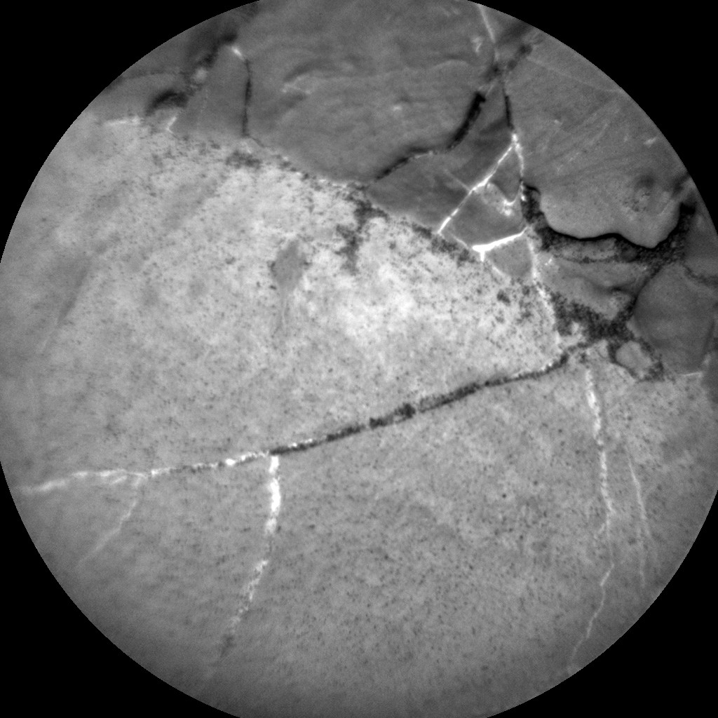
Curiosity ChemCam Remote Micro-Imager photo taken on Sol 1895, December 5, 2017.
Credit: NASA/JPL-Caltech/LANL
Curiosity’s Mastcam is set to image and document this target area.
Bulk chemistry
Following these measurements, Salvatore adds that Curiosity’s arm will be unfurled and the robot will acquire high-resolution Mars Hand Lens Imager (MAHLI) images of the Mzamba target in addition to an overnight Alpha Particle X-Ray Spectrometer (APXS) analysis to derive the rock’s bulk chemistry.
“The next day, before heading towards the eroded impact crater, Curiosity will stow her arm in preparation for the roughly one-hour drive to the east,” Salvatore points out. “Following her drive, Curiosity will undertake the standard post-drive imaging sequence in addition to acquiring a MARDI image to document the terrain immediately under the rover’s belly.”
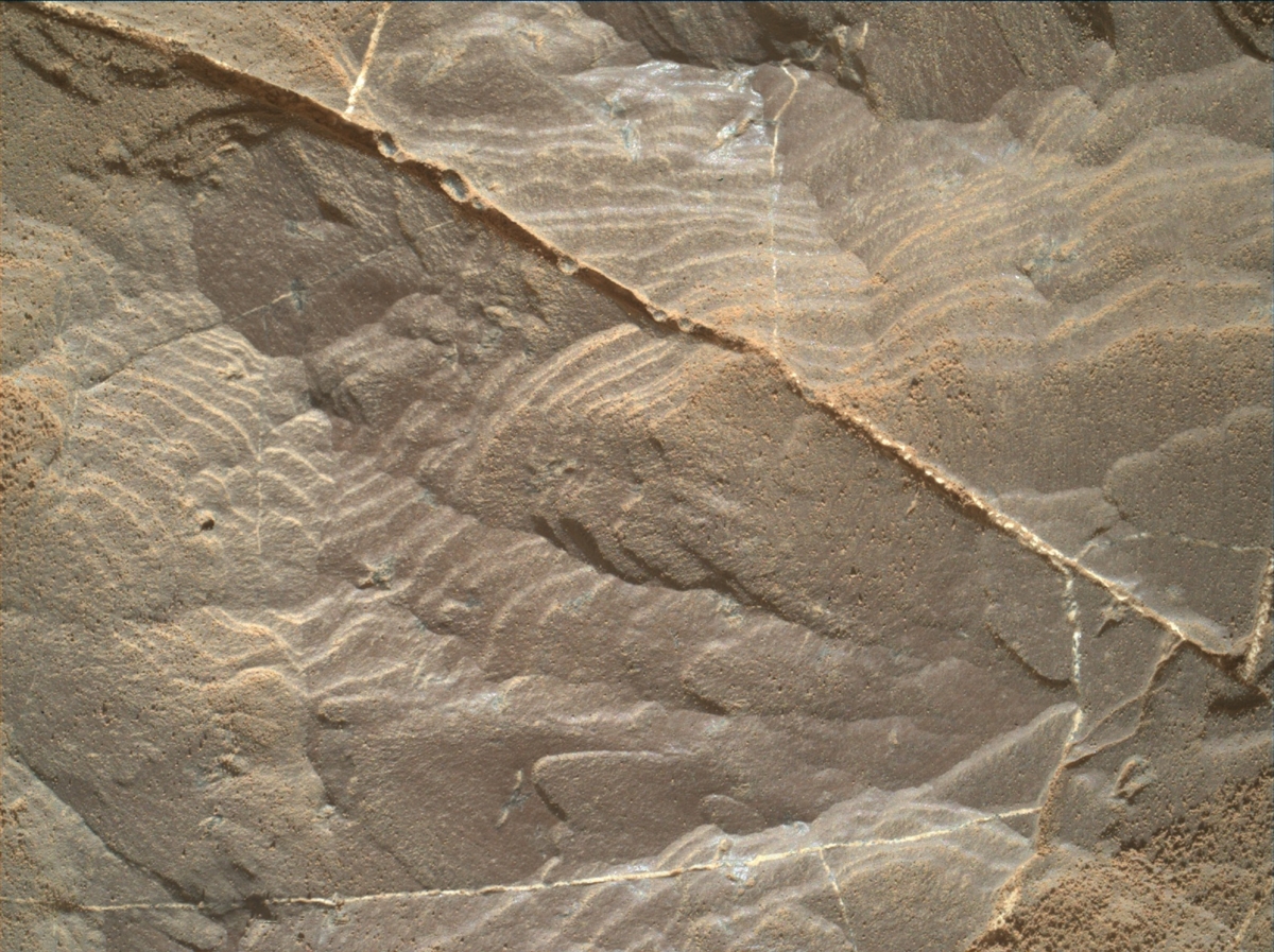
Curiosity Mars Hand Lens Imager (MAHLI) photo acquired on Sol 1894, December 4, 2017.
Credit: NASA/JPL-Caltech/MSSS
Ultra marathon
Salvatore notes a random fact of the day: One of the ChemCam targets is named “Naute,” which is the name of a dam in Namibia along a tributary of the Fish River. Namibia’s Fish River Canyon, he says, is the largest canyon in Africa, and is a widely visited tourist attraction for its scenic views. The Fish River Canyon is also home to an annual ultra marathon (100 kilometers distance) that travels through the difficult terrain along the margins of the river.
“As of today,” Salvatore concludes, “Curiosity only has another 82.174 kilometers to traverse before completing her own ultra marathon!”

Credit: Untethered spacewalker, Bruce McCandless.
Credit: NASA
“Lost in space” – a scenario no astronaut wants to face.
Thanks to new spacesuit engineering work, a patent has been filed for a self-return system to ensure space explorers are safe, even if no other astronaut can rescue them.
This spacesuit comes with a “take me home” button.
Self-return
Kevin Duda, a space systems engineer at The Charles Stark Draper Laboratory in Cambridge, Massachusetts, has studied astronauts and life on the International Space Station habitat.
The self-return space suit system, Duda explains, had to be capable of determining a precise location in a harsh space environment where GPS is unavailable. It had to compute an optimal return trajectory that accounts for time, oxygen consumption, safety and clearance requirements, and it had to be able to guide a disoriented and possibly unconscious astronaut effectively to safety.
Take me home
Draper’s director of space systems, Séamus Tuohy, said the return-home technology is an advance in spacesuits that is long overdue. “The current spacesuit features no automatic navigation solution—it is purely manual—and that could present a challenge to our astronauts if they are in an emergency.”
According to the patent, Draper’s “take me home” system can be configured to monitor movement, acceleration and relative position of the crewmember to a fixed object, such as an accompanying orbiting spacecraft.
Data fusion
The navigation, guidance and control modules can also accommodate various scenarios. For instance, the navigation module can be configured using GPS, vision- aided navigation or a star-tracker system.

Patent: Inventors Kevin R. Duda, Richard W. Loffi, Patrick Mark Handley. Credit: United States Patent Application Publication/Pub. No.: US 2017/0192425 A1
Duda et al.
Additionally, to improve the astronaut’s positioning and orientation, Draper has developed software that fuses data from vision-based and inertial navigation systems and benefits from the advantages of both sensing approaches.
The current research into spacesuits is funded by NASA.
Down to Earth
Draper’s “take me home” system can also be of benefit down here on Earth.
For example, clothing equipped with sensors and other smart tech could serve as an added safety measure for first responders and firefighters as they navigate smoke-filled rooms. The spacesuit work could also assist skydivers hurtling toward Earth and scuba divers who might become disoriented in deep water.
To view the patent, “System and method for assisted extravehicular activity self-return,” go to:
https://patentimages.storage.googleapis.com/d9/4d/9e/a0d0311b0386e0/US20170192425A1.pdf

Photo: Mark Seliger for Rolling Stone
Elon Musk, SpaceX lead rocketeer, has twitter followers abuzz again.
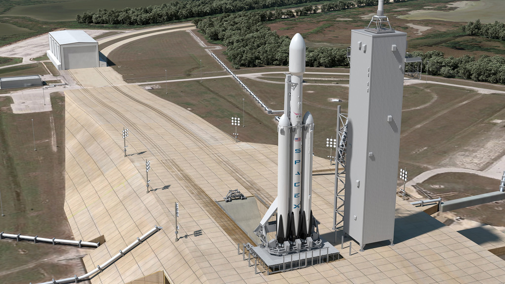
Falcon Heavy artwork
Credit: SpaceX
This time Musk posted that his Falcon Heavy mega-rocket is to launch in January from the historic Apollo 11 pad in Florida. “Will have double thrust of next largest rocket. Guaranteed to be exciting, one way or another,” Musk tweeted.
But there’s more. “Payload will be my midnight cherry Tesla Roadster playing Space Oddity. Destination is Mars orbit. Will be in deep space for a billion years or so if it doesn’t blow up on ascent.”

Tesla roadster to the Red Planet?
Credit: Tesla
Space reporters did their best to confirm with SpaceX that the tweets were truth…and now believe they are.
Pucker factor
For a review of what the real nail-bitter is regarding the SpaceX powerful booster, go to:
SpaceX’s First Flight of Falcon Heavy: “Major Pucker Factor” (Updated)
https://www.leonarddavid.com/spacexs-first-flight-of-falcon-heavy-major-pucker-factor/
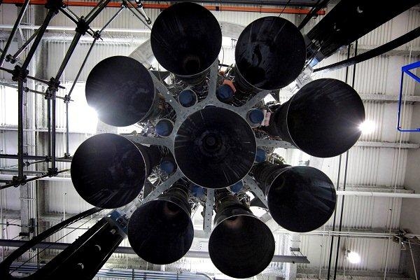
Credit Space

Credit:. SpaceX
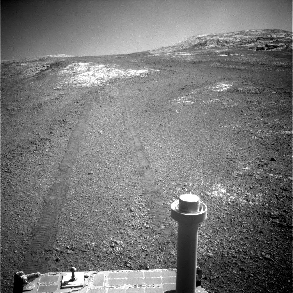
Opportunity Navigation Camera image at Sol 4924.
Credit: NASA/JPL
NASA’s Opportunity rover has been reconnoitering the Red Planet since landing on January 25, 2004 – and now has 28 miles on its odometer.
Now in Sol 4,926, the veteran robot is 4,836 Sols past “warranty.”
Winter exploration
At present, Opportunity is continuing its winter exploration of Perseverance Valley on the west rim of the Noachian-aged Endeavour Crater.

Opportunity Rear Hazcam image acquired on Sol 4923.
Credit: NASA/JPL
Opportunity has been carrying out science duties, including collecting a Microscopic Image (MI) mosaic of a surface target, and then placed its Alpha Particle X-ray Spectrometer (APXS) for a multi-sol integration.
Valley photo shoots
While the APXS was integrating, Opportunity continued to collect extensive color panoramas of the surrounding terrain. These image data are part of a complete digital model the rover is assembling of the entire Perseverance Valley.
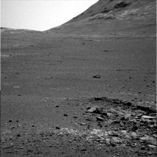
Opportunity Panoramic Camera image taken on Sol 4924.
Credit: NASA/JPL
With the in-situ (contact) science complete using the APXS, the rover drove on Sol 4922 (Nov. 27, 2017) about 46 feet (14 meters) to the next lily pad (energy favorable location) down the valley. Here Opportunity will continue the extensive image collection and take advantage of any surface targets under her feet.
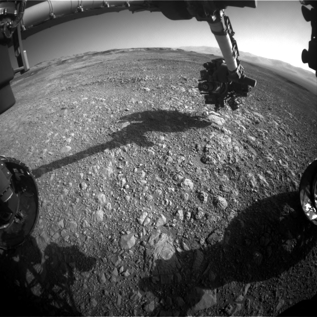
Curiosity Front Hazcam Left B image taken on Sol 1892, December 2, 2017.
Credit: NASA/JPL-Caltech
NASA’s Curiosity Mars rover is closing out Sol 1892 duties.
Late last week, Mark Salvatore, a planetary geologist at the University of Michigan in Dearborn, reported the rover was preparing to hit the road for a next stop on Vera Rubin Ridge.
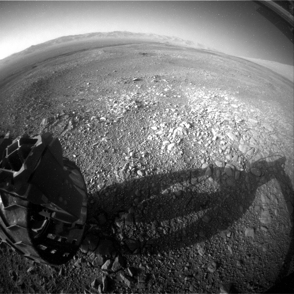
Curiosity Rear Hazcam Left B photo acquired on Sol 1892, December 2, 2017.
Credit: NASA/JPL-Caltech
Unique patch of terrain
Curiosity’s Mastcam was slated to take a multispectral image of the region where the robot will be headed over the next few days, Salvatore said, “in an effort to fully characterize the spectral diversity of this location and to compare with orbital remote sensing data.”
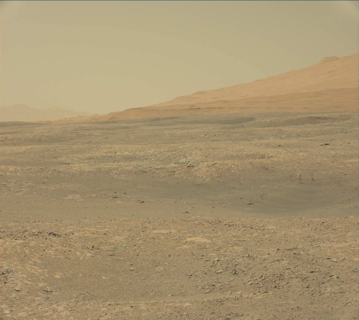
Curiosity Mastcam Left image taken on Sol 1891, December 1, 2017.
Credit: NASA/JPL-Caltech/MSSS
The rover is slated to continue wheeling to the southeast, headed for a “unique patch” of terrain that appears interesting in high-resolution orbital data. “The hope is to reach this unit on this drive, as that will allow the science team to investigate this interesting region over the duration of the weekend’s plan,” Salvatore added.
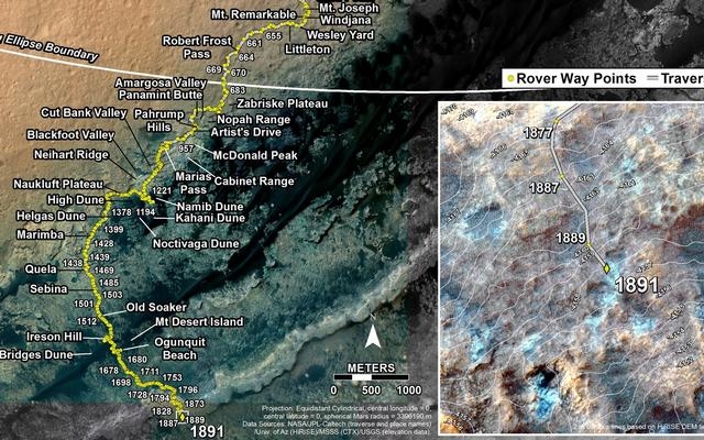
Credit: NASA/JPL-Caltech/Univ. of Arizona
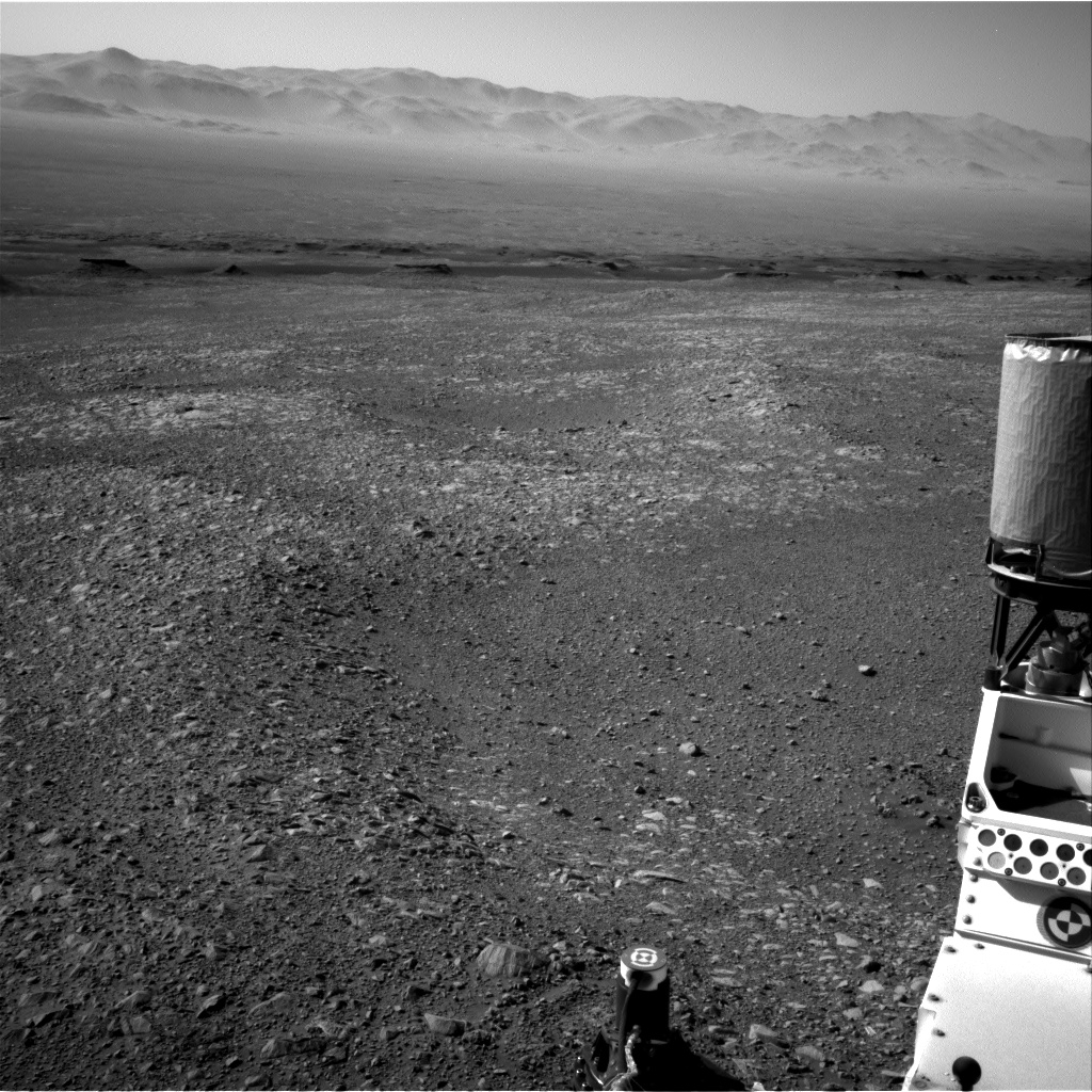
Curiosity Navcam Right B photo acquired on Sol 1891, December 1, 2017.
Credit: NASA/JPL-Caltech
Traverse map
Meanwhile, a new Curiosity traverse map has been issued.
The map shows the route driven by NASA’s Mars rover Curiosity through the 1891 Martian day, or sol, of the rover’s mission on Mars (December 01, 2017).
Numbering of the dots along the line indicate the sol number of each drive. North is up. The scale bar is 1 kilometer (~0.62 mile).
From Sol 1889 to Sol 1891, Curiosity had driven a straight line distance of about 45.65 feet (13.91 meters), bringing the rover’s total odometry for the mission to 11.06 miles (17.81 kilometers).
The base image from the map is from the High Resolution Imaging Science Experiment Camera (HiRISE) in NASA’s Mars Reconnaissance Orbiter.
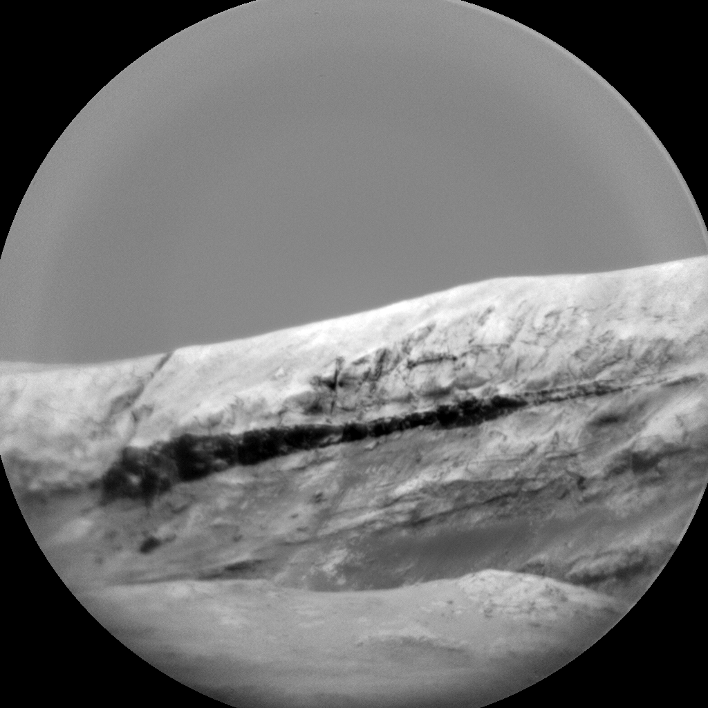
Curiosity ChemCam Remote Micro-Imager photo taken on Sol 1891, December 1, 2017.
Credit: NASA/JPL-Caltech/LANL
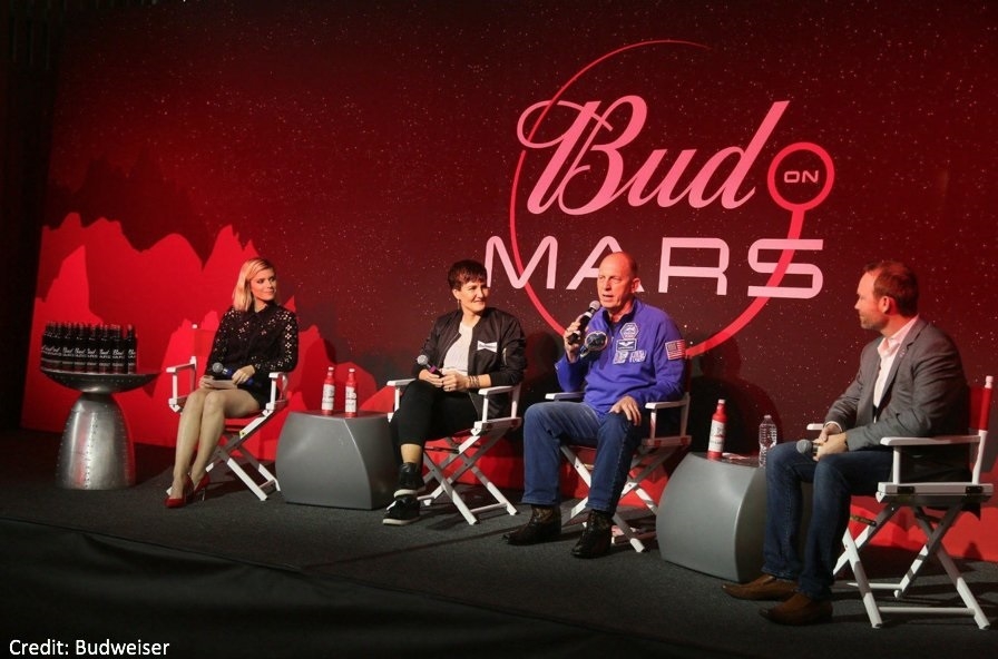
Credit: Budweiser
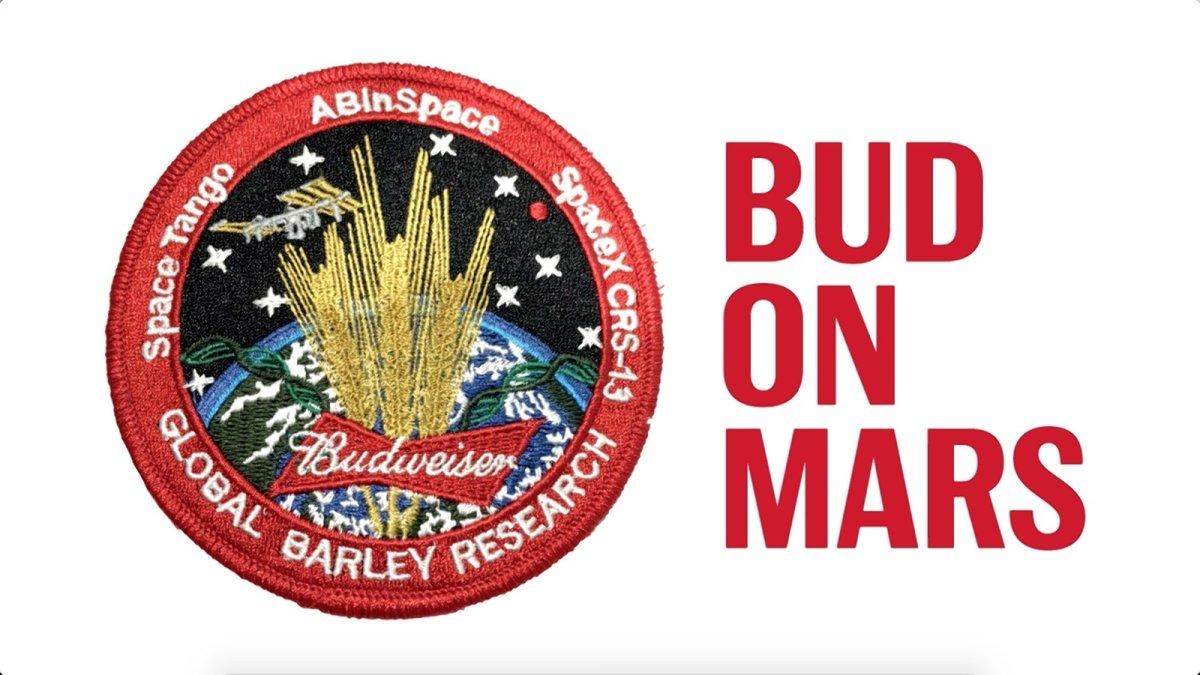
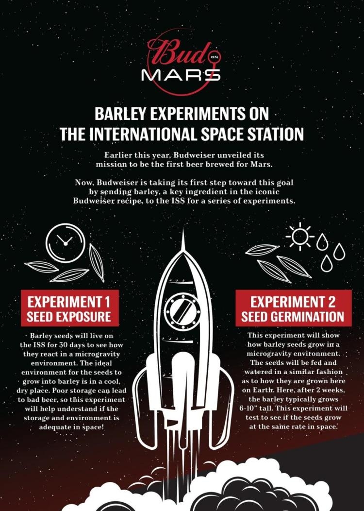
Budweiser recently announced plans to send barley seeds to space, one of the key ingredients in beer. The company wants to determine if it’s possible to make and drink beer on Mars.
Barley samples are to be flown to the International Space Station later this month.
Credit: Budweiser
But a new poll indicates that Americans aren’t particularly anxious for a taste of Martian brew.
Survey findings
A new Rasmussen Reports national telephone and online survey finds:
- Just 11% of American Adults say they are more likely to buy a beer that is brewed on Mars.
- Thirty-three percent (33%) say they’re less likely to buy a space beer.
- While 45% say the beer’s origin would have no impact on their beer-buying decision.
- Another 11% are not sure.
Credit: Budweiser
“Sampling” error?
The national survey of 1,000 American Adults was conducted on November 26-27, 2017 by Rasmussen Reports.
The margin of sampling error is +/- 3 percentage points with a 95% level of confidence.
Field work for all Rasmussen Reports surveys is conducted by Pulse Opinion Research, LLC.

Credit: NASA
A new Global Exploration Roadmap (GER) to be issued early next year will detail international strategies for returning to the Moon.
One aspect of the roadmap is how best governments can work with commercial companies to provide communications relay services, as well as early delivery of cargo/scientific instruments to the lunar surface. A major thrust is utilization of the Moon’s resources.
These and other return to the Moon plans were detailed during a NASA community workshop on the GER, held November 29-30 at the space agency’s Ames Research Center at Moffett Field, California.
Phased approach
The GER is a publication authored by NASA and the other 14 space agencies that comprise the International Space Exploration Coordination Group (ISECG). The roadmap outlines a phased approach to achieving the common goal of sending humans to the surface of Mars.
The next road map will outline a “common pathway,” for multiple nations to return to the Moon, for exploration, science, and begin applying resource utilization strategies, explains Kathy Laurini, NASA senior advisor for exploration and space operations, and current chair of the ISECG.

Credit: NASA
Start small
NASA itself is pushing forward on working with commercial companies to help anchor its “new found interest in the moon” – a strategy that will start small and is expected to grow over time.
Like NASA, the European Space Agency is appraising partnership links to private firms that have the Moon in their sights.
The third version of the GER is planned for publication in early 2018. The most recent version was published in 2013, and is accessible at:

Curiosity Navcam Right B image taken on Sol 1890, November 30, 2017.
Credit: NASA/JPL-Caltech
NASA’s Curiosity Mars rover has wheeled over 11 miles since landing in August 2012. The robot has just entered Sol 1891.

Curiosity Navcam Right B image acquired on Sol 1889, November 29, 2017.
Image Credit: NASA/JPL-Caltech
A new Curiosity traverse map through Sol 1889 has been issued.

Credit: NASA/JPL-Caltech/Univ. of Arizona
This map shows the route driven by NASA’s Mars rover Curiosity through the 1889 Martian day, or sol, of the rover’s mission on Mars (November 30, 2017).
Numbering of the dots along the line indicate the sol number of each drive. North is up.
The scale bar is 1 kilometer (~0.62 mile).
From Sol 1887 to Sol 1889, Curiosity had driven a straight line distance of about 106.61 feet (32.49 meters), bringing the rover’s total odometry for the mission to 11.05 miles (17.79 kilometers).
The base image from the map is from the High Resolution Imaging Science Experiment Camera (HiRISE) in NASA’s Mars Reconnaissance Orbiter.
(click on map to enlarge)

ChemCam Remote Micro-Imager photo taken on Sol 1890, November 30, 2017.
Credit: NASA/JPL-Caltech/LANL

Notional Deep Space Gateway.
Credit: NASA
NASA has begun to roll out a return to the Moon strategy.
Taking part in a Global Exploration Roadmap (GER) workshop, NASA officials have started to outline potential back to the Moon strategies.
The GER is a publication authored by NASA and the other 14 space agencies that comprise the International Space Exploration Coordination Group (ISECG). The roadmap outlines a phased approach to achieving the common goal of sending humans to the surface of Mars.

Credit: NASA
Additionally, NASA officials are fleshing out use of the cis-lunar situated Deep Space Gateway. Mission concepts for cislunar space, the Moon and Mars and functions that may be suited for possible commercial services are being discussed.

Credit: NASA
Common vision
This new update of the Global Exploration Roadmap features contributions from space agency partners as they share their common vision for missions beyond low-Earth orbit over the next decades, explains Kathy Laurini, NASA senior advisor for exploration and space operations, and current ISECG chair.
“This workshop continues our commitment to engaging with stakeholders in industry and academia to inform GER development,” Laurini adds. “Many of our international partner space agencies will support this workshop and use the opportunity to engage their stakeholder communities.”

Credit: NASA
Collective effort
The ISECG is a voluntary, non-binding international coordination mechanism through which individual agencies may exchange information regarding interests, objectives, and plans in space exploration with the goal of strengthening both individual exploration programs as well as the collective effort.
The third version of the GER is planned for publication in early 2018. The most recent version was published in 2013, and is accessible at: https://go.nasa.gov/1oRhy1z

