Archive for the ‘Space News’ Category
 Author:
  June 16th, 2023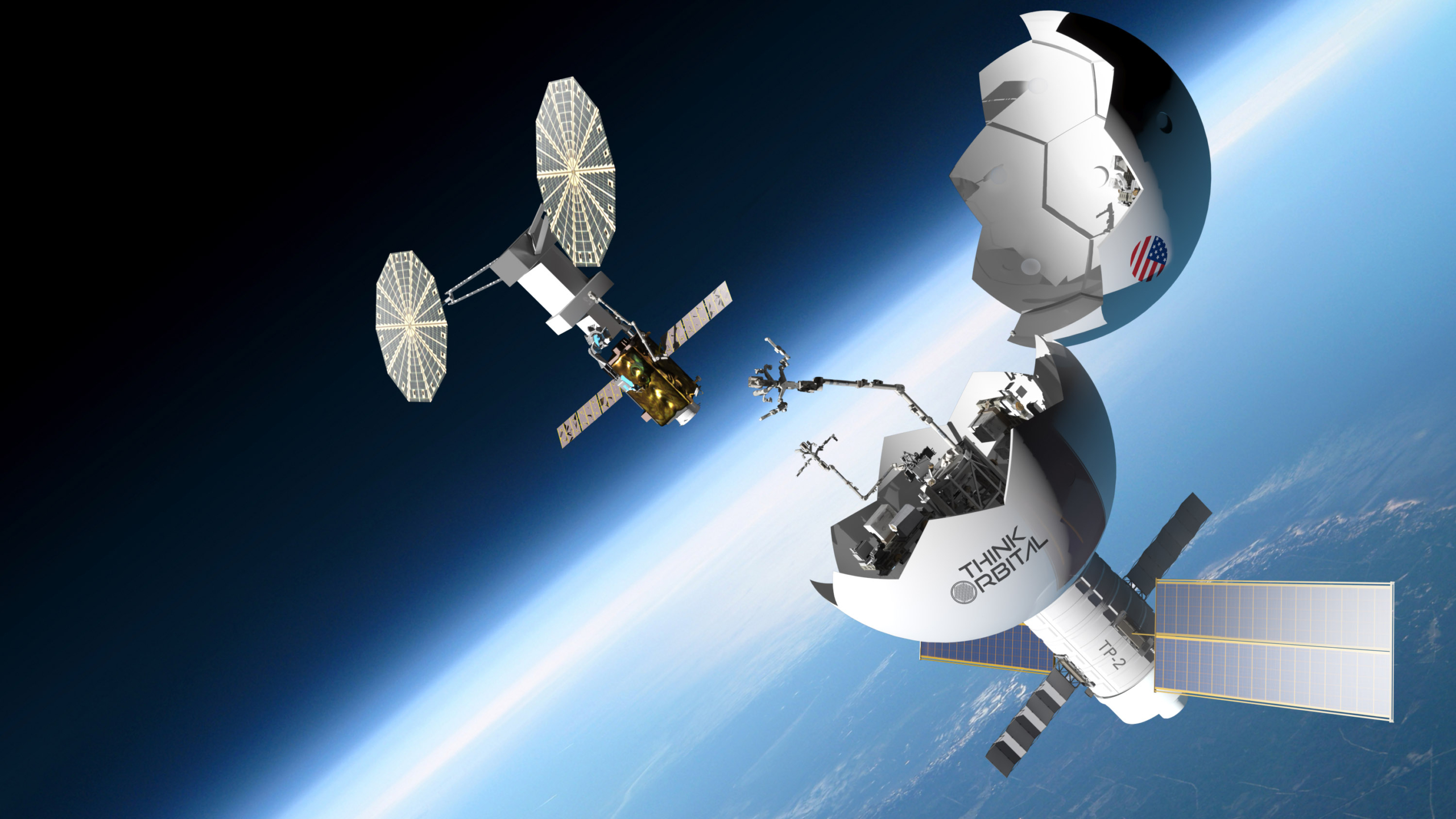
Image credit: ThinkOrbital
NASA is partnering with seven U.S. companies, viewed as a step to bolster a U.S. commercial low Earth orbit economy.
Through unfunded Space Act Agreements, the intent is for selected firms to leverage NASA expertise, but ultimately the space agency can be a customer for the capabilities honed by the selected firms. According to NASA, the new set of agreements can foster more competition for services and more providers for innovative space capabilities.
The LEO seven
The companies selected to collaborate with NASA under the Collaborations for Commercial Space Capabilities-2 are:
Blue Origin: Develop integrated commercial space transportation capability that ensures safe, affordable, and high-frequency US access to orbit for crew and other missions.
Northrop Grumman: Persistent Platform to provide autonomous and robotic capabilities for commercial science research and manufacturing capabilities in low Earth orbit.

Image credit: Sierra Space
Sierra Space: Developing the company’s commercial low Earth orbit ecosystem, including next-generation space transportation, in-space infrastructure, and expandable and tailorable space facilities providing a human presence in low Earth orbit.
SpaceX: Low Earth orbit architecture to provide a growing portfolio of technology with near-term Dragon evolution and concurrent Starship development. This architecture includes Starship as a transportation and in-space low-Earth orbit destination element supported by Super Heavy, Dragon, and Starlink, and constituent capabilities including crew and cargo transportation, communications, and operational and ground support.
Special Aerospace Services: An in-space servicing technology, propulsion, and robotic technology called the Autonomous Maneuvering Unit (AMU) and the Astronaut Assist-AMU for commercial in-space servicing and mobility applications intended for safer assembly of commercial low Earth orbit destinations, servicing, retrieval, and inspection of in-space systems.
ThinkOrbital: Development of ThinkPlatforms and CONTESA (Construction Technologies for Space Applications). ThinkPlatforms are self-assembling, single-launch, large-scale orbital platforms that facilitate a wide array of applications in low Earth orbit, including in-space research, manufacturing, and astronaut missions. CONTESA features welding, cutting, inspection, and additive manufacturing technologies, and aids in large-scale in-space fabrication.
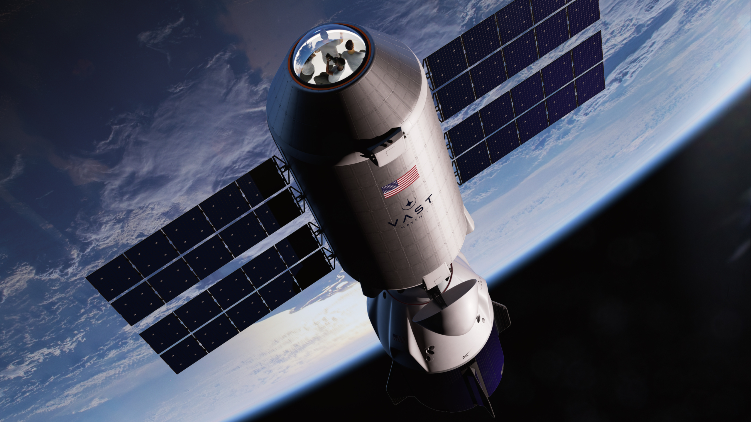
Image credit: Vast
Vast: Technologies and operations required for its microgravity and artificial gravity stations. This includes the Haven-1 commercial destination, which will provide a microgravity environment for crew, research, and in-space manufacturing, and the first crewed mission, called Vast-1, to the platform. Development activities for larger space station modules will also take place under the Space Act Agreement.
For more information about NASA initiatives and commercial space, visit:
 Posted in

Radiation experiment equipment stationed outside China’s space station.
Image credit: CCTV/CMS/Inside Outer Space screengrab
China’s new space station crew has carried out radiation biology and space science research, making use of an airlock to extend an experiment into space outside the station’s Mengtian lab module.
The Shenzhou-16 crew — Jing Haipeng, Zhu Yangzhu and Gui Haichao – prepared the experiment from within the Tiangong space station and then transferred the hardware into the space environment via an airlock.

Shenzhou-16 crew members deploy radiation experiment into space.
Image credit: CCTV/CMS/Inside Outer Space screengrab
The experiment was jointly developed by the National Space Science Center under the Chinese Academy of Sciences and the Dalian Maritime University. The equipment includes 13 sample box units carrying biomaterials, such as plant seeds, microorganisms and small animals.
Each sample box unit can control its interior temperature to assure survival of different model organisms.
Moon landing research
According to a report by Science and Technology Daily the experiment is designed to study the harsh impact of space radiation, the origin and evolution of life, and the development of space radiation mutagenic resources.
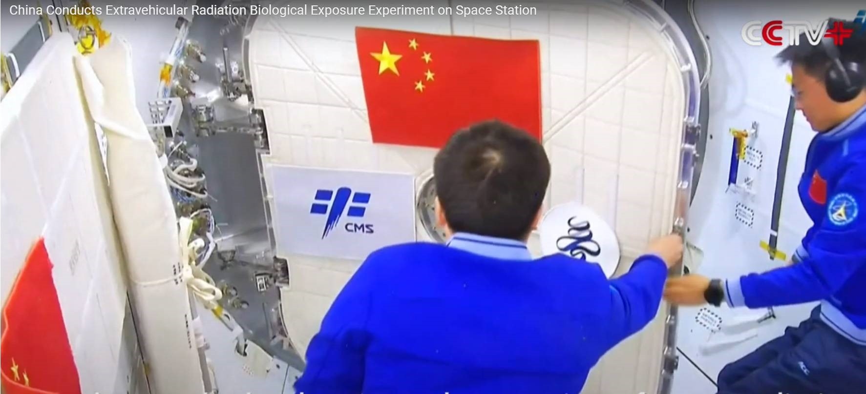
Image credit: CCTV/CMS/Inside Outer Space screengrab
The equipment is to be utilized for research over a five year period, able to support a number of projects.
As noted by China Central Television, citing the report, research on medical issues involving space radiation biological exposure “is of great significance to supporting China’s manned space program, including long-term crewed missions in orbit and crewed lunar landings.”

Deployed radiation experiment rolled out from airlock into the space environment.
Image credit: CCTV/CMS/Inside Outer Space screengrab
China launched the Shenzhou-16 crew to the orbital outpost on May 30, sending the taikonaut trio to the Tiangong space station for a five-month mission.
For a video look at the experiment, go to:

Image credit: Johan Swanepoel/Adobe Stock via RAND
The time for a global solution to space traffic management is now!
That’s the bottom line of a new RAND think tank research brief that warns if space leaders do not begin the work of establishing an international space traffic management organization (ISTMO) soon, “there is a significant chance that the world will lose key portions of its orbital resources — reducing space’s overall value to humanity.”
Led by RAND’s Bruce McClintock, the document explains that starting the work of establishing an ISTMO now might help reduce the possibility of future conflict in space.

“Rather than wait for a crisis to catalyze action, the space community should seize the moment and begin the work of building the governance structures needed to ensure the safety and sustainability of critical space assets, services, and activities,” the RAND briefing report observes.
By acting now, this will enable the international community to develop solutions for protecting and preserving space today and in the future.
Taking it in the Era
The RAND document observes that the “New Space Era” has brought significant advancements in security, connectivity, prosperity, and collective action.
“But this growth comes with substantial and increasingly urgent challenges,” the document states.
“Along with the expanding number of space objects and activities, new types of near-Earth operations, such as megaconstellations of satellites, space tourism, on-orbit servicing and manufacturing, space tugs, active debris removal, and just-in-time and artificial intelligence–driven collision avoidance maneuvers, have complicated the space domain, resulting in an orbital environment that is substantially more congested and risky.”

Chunk of junk zips by the International Space Station.
Image credit: NASA
The research brief observes that the goal should be an international space traffic management convention within the next five years that sets specific milestones for implementation within the next ten years.
To read the report — The Time for International Space Traffic Management Is Now – go to:

Curiosity’s location on Sol 3858. Distance driven since landing in August 2012 is 18.67 miles/30.05 kilometers.
Image credit: NASA/JPL-Caltech/Univ. of Arizona
NASA’s Curiosity Mars rover at Gale Crater is now performing Sol 3859 tasks.
Reports Abigail Knight, a graduate student at Washington University in St. Louis: “After several attempts to drive through difficult terrain, Curiosity successfully completed a drive of about 11 meters [36 feet] on Sol 3857!”

Curiosity Left B Navigation Camera image taken on Sol 3858, June 14, 2023.
Image credit: NASA/JPL-Caltech
Knight said that researchers have a straightforward plan primarily focused on driving farther as well as several observations of both nearby and distant targets.

Curiosity Left B Navigation Camera image taken on Sol 3858, June 14, 2023.
Image credit: NASA/JPL-Caltech
Targets of interest
“After the recent drive, we have a new area to scope out targets of interest and have selected “Terebito,” which is located on a flat block of bedrock within reach of the rover’s arm,” Knight noted.
Curiosity is to first brush away the dust from Terebito with its Dust Removal Tool (DRT) before performing a quick “Touch-and-Go” observation with the Alpha Particle X-Ray Spectrometer (APXS) to assess the elemental composition of the bedrock.

Laser pings seen in this Curiosity Chemistry & Camera (ChemCam) Remote Micro-Imager (RMI) photo acquired on Sol 3858, June 14, 2023.
Image credit: NASA/JPL-Caltech/LANL
In addition to APXS, Curiosity will also investigate Terebito with Mars Hand Lens Imager (MAHLI) and Mastcam in this plan.

Curiosity Chemistry & Camera (ChemCam) Remote Micro-Imager (RMI) photo acquired on Sol 3858, June 14, 2023.
Image credit: NASA/JPL-Caltech/LANL
Hard crust
A second nearby target named “Boa Esperanca” is in an area with possible “duricrust,” a hard crust of soil that forms in dry places like Mars.
The robot’s Chemistry and Camera (ChemCam) and Mastcam will assess the composition of and document Boa Esperanca.

Curiosity Left B Navigation Camera image taken on Sol 3858, June 14, 2023.
Image credit: NASA/JPL-Caltech
“The rover will also use Mastcam to document nearby regolith with interesting surface disruption features. Mastcam will document textures of Gediz Vallis ridge off in the distance as well as churned up terrain behind Curiosity from its previous drive attempts. This rear-view imagery will inform and support potential future drives through tricky terrain,” Knight pointed out.

Curiosity Front Hazard Avoidance Camera Left B image taken on Sol 3858, June 14, 2023.
Image credit: NASA/JPL-Caltech
Later on Sol 3858, Curiosity was set to drive a planned distance of about 56 feet (17 meters) and acquire the usual post-drive imagery to document its new location.
“We’re hopeful for another successful drive,” Knight concludes, and smoother sailing as Curiosity skillfully traverses the Martian terrain!”

Mars sample return to Earth – a major undertaking by NASA, the European Space Agency.
Image credit: NASA/JPL-Caltech
Now underway is a multi-nation, multi-billion dollar Mars Sample Return program, a project for the 2030’s to hurl to Earth a select smorgasbord of soil, rock and atmosphere from the Red Planet.
NASA and the European Space Agency are working together on the Mars Sample Return (MSR) campaign. The plan is for those gathered and contained Mars collectibles – roughly a pound of extraterrestrial goodies — to be plopped into the Utah Test and Training Range in west-central Utah.
Hot property
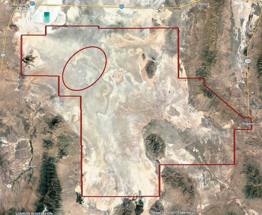
Proposed Utah landing zone (red ellipse) for the Mars sample return mission.
Image credit: NASA
But shooting back to Earth bits and pieces from Mars means how to deal with the potential for biological “hot property” – also called backward contamination. That term can heat up oratory and public unease, of people visualizing creepy-crawlies from that distant world munching away at Earth’s biosphere.

Once on Earth, Mars specimens will make their way to a sample receiving facility.
Image credit: NASA/JPL-Caltech
Arguably, it has the makings of a real-time replay of novelist Michael Crichton’s Andromeda Strain, transformed into a 1971 sci-fi film that dramatized the idea of alien organisms infecting the Earth.
For more information, go to my new Multiverse Media SpaceRef story — Martian Samples on Earth, Planetary Protection from Contamination Becomes Hot Issue – at:

ESA Director Josef Aschbacher with China’s Zhang Kejian, head of the China National Space Administration sign agreement on June 8, 2023.
Image credit: CNSA
China’s next robotic Moon landing probe, Chang’e-6, will carry payloads from the French and Europeans.
The China Aerospace Science and Technology Corp revealed on Tuesday that two memorandums of understanding have been signed between the China National Space Administration (CNSA), the European Space Agency (ESA) and the Centre National d’Etudes Spatiales (CNES), the French space agency.
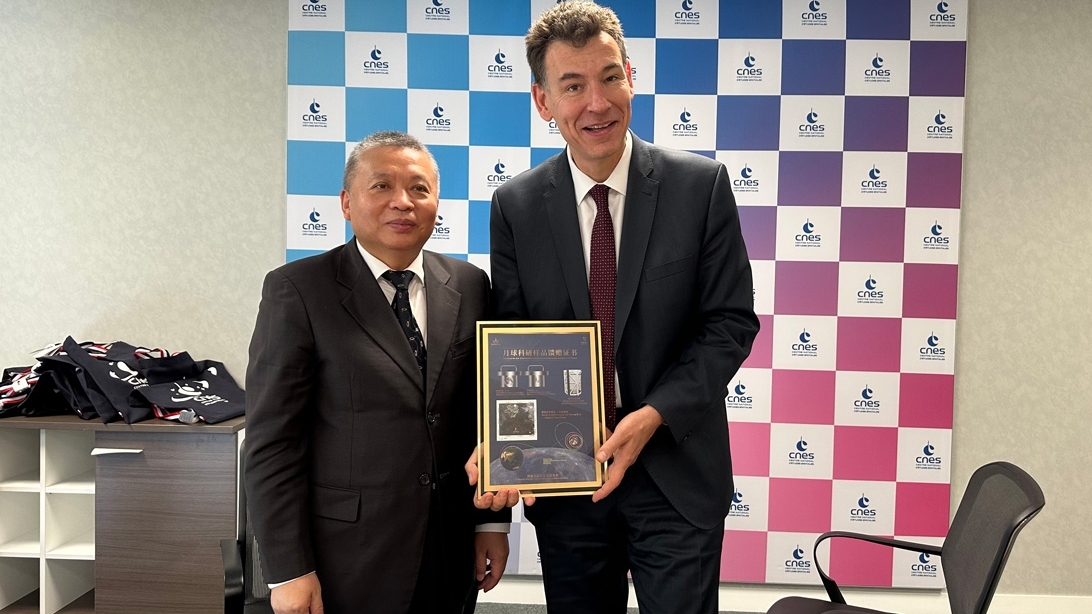
CNSA’s Zhang Kejian meets with Philippe Baptiste, chief of France’s CNES.
Image credit: CNSA
China’s Chang’e-6 mission is slated for takeoff in 2024, built to carry out sample-return from the lunar farside.
The European and French scientific instruments for lunar surface research are an ESA-supplied negative ion analyzer, while a detector to measure radon gas and its decay products on the Moon comes from CNES.
China’s last Moon mission, Chang’e-5, launched in 2020, retrieved and hauled back to Earth a total of 1,731 grams of lunar soil from the nearside.
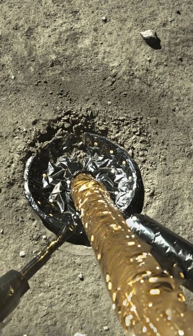
Landing leg of Chang’e-5 Mooncraft.
Credit: CNSA/CLEP

Wait a Minute.
Image credit: Barbara David
If you have been abducted in space and time by the increasing government and public interest in Unidentified Flying Objects (UFOs) – rightly or wrongly now dubbed Unidentified Anomalous Phenomenon (UAP) – tighten your seat belts and secure those tray tables as they need to be in an upright and locked position during takeoff and landing.
The scene is the National Press Club in Washington, D.C. On Monday, June 12, “Disclosure 2.0” was convened by Steven Greer, founder of the Disclosure Project.

Image credit: Disclosure Project/Inside Outer Space screengrab
Greer presented “definitive evidence” of illegal and unacknowledged black budget projects related to UFO/UAP operations in Washington D.C.
Whistleblowers, legal action
The event featured whistleblowers, locations of illegally operated UFO projects and corporations – and that’s not all.

Image credit: Disclosure Project/Inside Outer Space screengrab
Plans for a civilian initiated RICO (Racketeering Influenced Corrupt Organization) lawsuit against illegal military and corporate projects was announced and outlined. A newly formed Disclosure legal team is comprised of pro bono attorneys, legal professionals, and law students from a broad range of expertise and backgrounds to join in on this effort.
The Disclosure Project Legal Team for UFO Disclosure is focused on achieving widespread acknowledgment of UFOs, UAPs, and advanced energy technologies for solving the global climate crisis.
Spotlighted were the legal implications of filing a RICO lawsuit on behalf of those wronged by the actions of the “corrupt entities that have been controlling the UFO issue.”

Artwork of up-close encounter – a Fort Irwin incident based on “Top Secret military Witness.”
Image credit: Disclosure Project
Bumpy ride
During the event, some of the cataloged 119 crash/retrieval events of extraterrestrial vehicles were summarized and presented.
If the truth is out there…it’s going to be a bumpy ride to excavate reality when it comes to ET, close encounters of whatever kind, and sorting out purported government hanky-panky on this subject.
For the video of the National Press Club-held event, go to:
https://www.youtube.com/live/zDY7t6HihCw?feature=share
Let me know what you think!
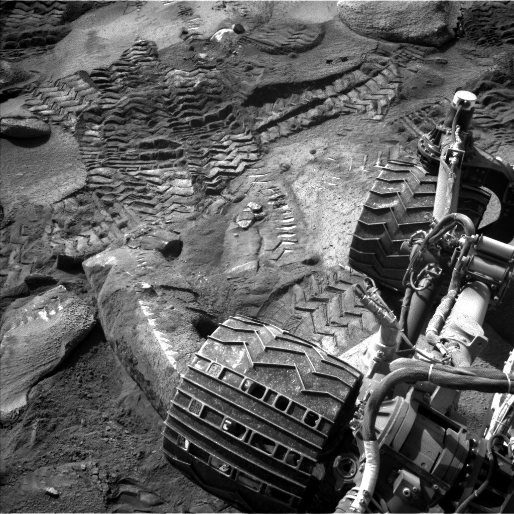
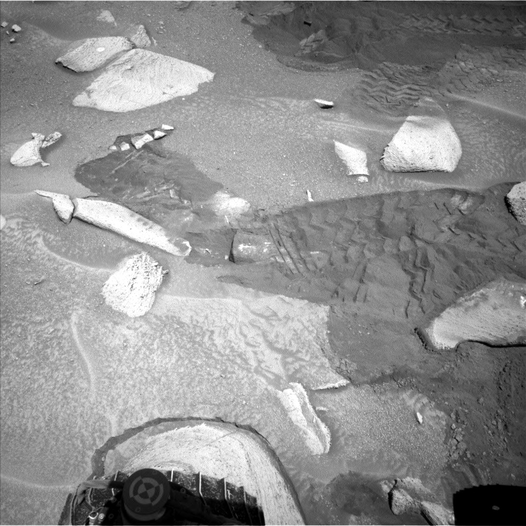
Curiosity Left B Navigation Camera image acquired on Sol 3853, June 9, 2023.
Image credit: NASA/JPL-Caltech
NASA’s Curiosity Mars rover at Gale Crater is now performing Sol 3855 duties.
“Curiosity has been trying to work her way to the top of a canyon towards an interesting cluster of craters. Unfortunately the current terrain is extremely challenging, and the drives have been stopping short of their intended distance,” reports Lauren Edgar, a planetary geologist at the USGS Astrogeology Science Center in Flagstaff, Arizona.
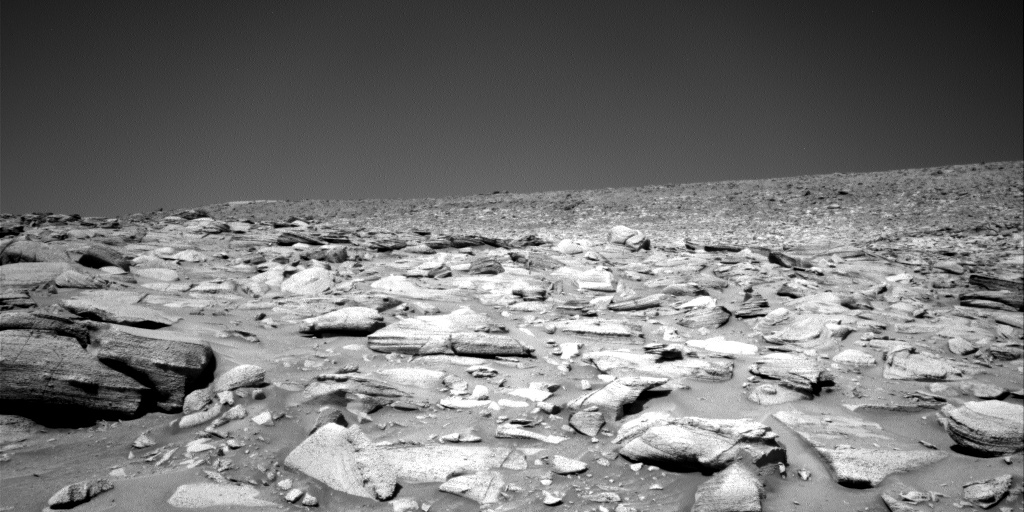
Curiosity Right B Navigation Camera image taken on Sol 3854, June 9, 2023.
Image credit: NASA/JPL-Caltech
Incremental progress
“After multiple attempts to get uphill but making only incremental progress, the team decided today to try a new route,” Edgar adds. “The new route looks a lot less steep, which will hopefully help the rover make progress among the mixture of fines and bedrock blocks.”
Curiosity doesn’t have the help of traction mats and tow ropes! Despite these driving challenges, Edgar says, Curiosity has been conducting great science.
“During the recent drives the rover wheels have been creating scuffs in the soil, which provide an interesting opportunity to assess the composition of soil newly exposed by the rover wheels,” Edgar explains.
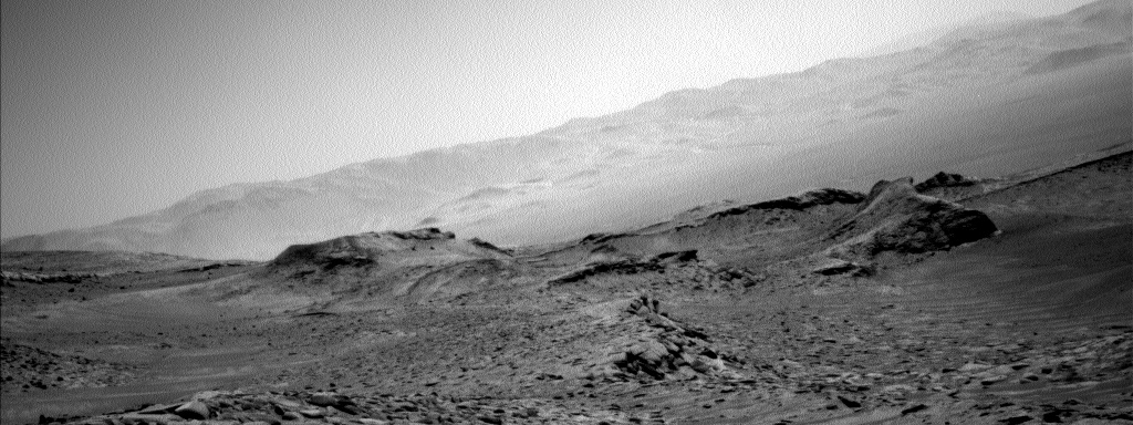
Curiosity Left B Navigation Camera image acquired on Sol 3854, June 10, 2023.
Image credit: NASA/JPL-Caltech
Sand slumps
Curiosity collected Alpha Particle X-Ray Spectrometer (APXS) and Mars Hand Lens Imager (MAHLI) data on the soil target “Saul,” along with the robot’s Chemistry and Camera (ChemCam) and Mastcam observations of the sand slumps.
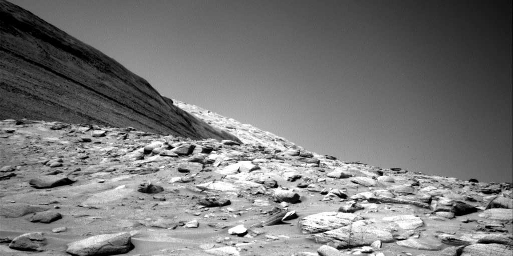
Curiosity Right B Navigation Camera image taken on Sol 3854, June 9, 2023.
Image credit: NASA/JPL-Caltech
The team also planned a long distance ChemCam Remote Micro-Imager (RMI) mosaic towards Peace Vallis and the distant crater rim, and a number of environmental monitoring observations including cloud and dust devil movies and observations of atmospheric opacity.
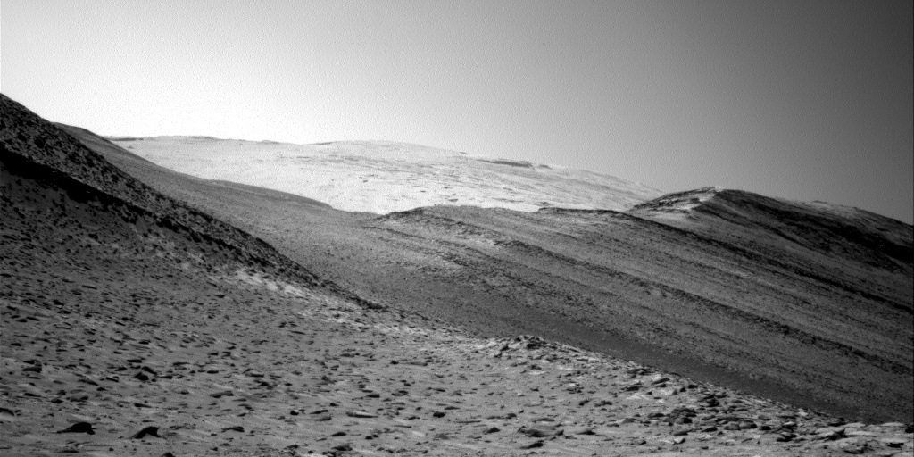
Curiosity Right B Navigation Camera image taken on Sol 3854, June 9, 2023.
Image credit: NASA/JPL-Caltech
New route
Edgar reports that planning last Friday involved the finding that although Curiosity drove roughly 16 feet (5 meters), “there was not sufficient progress to encourage us to continue on this route.”
So Curiosity collected final observations, setting its sights on a new route to the east.
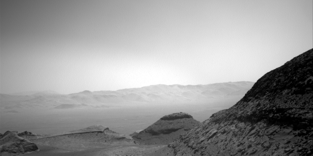
Curiosity Right B Navigation Camera image taken on Sol 3854, June 9, 2023.
Image credit: NASA/JPL-Caltech
A recent plan calls for ChemCam to assess the chemistry of two bedrock blocks in the rover’s workspace, and acquire long distance RMIs towards Peace Vallis.
Mastcam will acquire multispectral observations on a couple of rocks and veins, as well as stereo imaging of our workspace and a nearby crater.
Some additional environmental monitoring observations are sprinkled throughout the plan.
Curiosity Left B Navigation Camera image acquired on Sol 3854, June 9, 2023.
Image credit: NASA/JPL-Caltech
“Then Curiosity will drive on the second sol,” Edgar concludes, “and we’re hoping to come in next week to some easier terrain ahead!”

UAP have been reported by Navy pilots unlike anything they have ever witnessed.
Image credit: Enigma Labs/Lt. Cmdr. Alex Dietrich
If you are trying to discern clarity about unidentified anomalous phenomena, or UAPs, it will take time, a hale and hearty dose of nit-picking scientific scrutiny, topped off by better data gathering and diagnostic tools.
And while you’re at it, toss in need for a tightly-defined lexicon that classifies the meaning of “anomalous.”
Blue-ribbon counsel
NASA recently convened a blue-ribbon counsel of 16 independent experts that span a number of scientific and technical communities. They offered their first-cut verdict on ways to get to the bottom of reported high-flying UAP.

Image credit: Scientific Coalition for UAP Studies
The publicly open, NASA TV and Internet broadcast, multiple-hour marathon of briefings, open discussion and media questioning marked the group’s preliminary observations. The aim is to wrap up their findings and recommendations by the end of July, published in a public report.
Go to my new Scientific American story – “Bad Data, Not Aliens, May Be behind UFO Surge, NASA Team Says – More and better data are required to solve the mystery of strange apparitions in the air, the sea and space, according to NASA’s Unidentified Anomalous Phenomena Independent Study team” – at:

Image credit: NASA
An Artemis III Moon landing site study group is trying to select where U.S. astronauts will “re-boot” our celestial next door neighbor.
If NASA planning remains on the rails politically, technically and dollar-wise, the United States is slated to plant new footprints on the Moon toward the end of 2025.

A spectacular, specially produced near-ground level oblique view of the “Connecting Ridge” between Shackleton and Henson craters. The lunar south pole (SP) occurs on the rim of Shackleton crater. The ridge along the rim of the South Pole-Aitken impact basin is a potential Artemis landing site (001) and another (004) occurs on the rim of Shackleton crater. (Image credit: ETHZ\LPI\Valentin T. Bickel and David A. Kring)
Safe and science-worthy
Following Artemis test landings, the Artemis III trek is intended to be the first of many human missions to the Artemis Polar Exploration Zone – the region poleward of 84° South latitude.
Selecting a safe and science-worthy landing region for Artemis III is a challenging task.
There’s no doubt that great discoveries lie ahead…and one potential surprise could be detecting life on the moon.
Go to my new Space.com story – “Will Artemis astronauts look for life on the moon? – Some hardy microbes might be able to survive on Earth’s nearest neighbor — likely after making the trek there with us” – at:
https://www.space.com/artemis-astronauts-search-life-on-moon

