Archive for May, 2018
 Author:
  May 3rd, 2018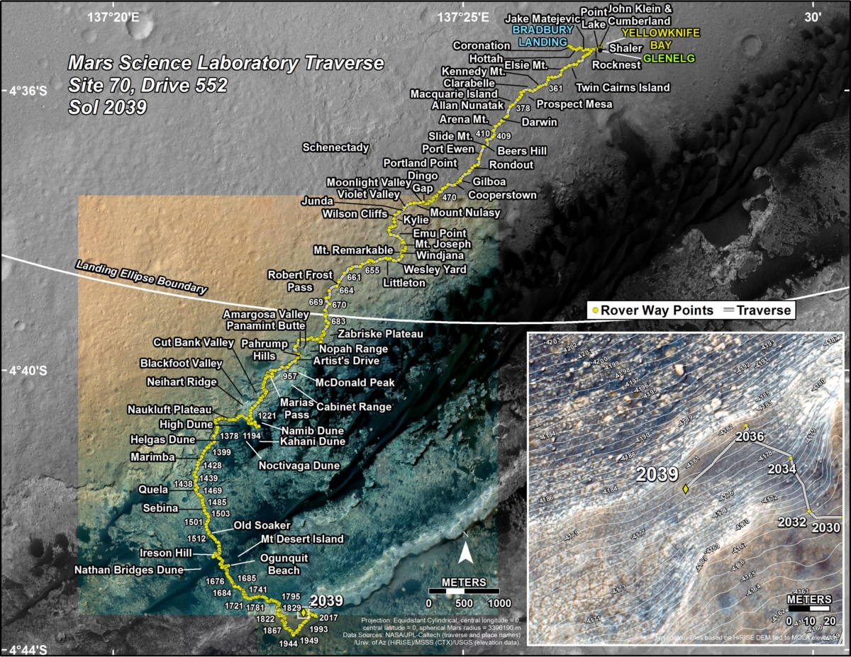
Credit: NASA/JPL-Caltech/Univ. of Arizona
NASA’s Curiosity Mars rover is deep into Sol 2040 operations.
A new Curiosity traverse map through Sol 2039 has been issued.
The map shows the route driven by the robot through the 2039 Martian day, or sol, of the rover’s mission on Mars (May 02, 2018).
Numbering of the dots along the line indicate the sol number of each drive. North is up. The scale bar is 1 kilometer (~0.62 mile).

Curiosity Front Hazcam Left B photo taken on Sol 2040, May 3, 2018.
Credit: NASA/JPL-Caltech
From Sol 2036 to Sol 2039, Curiosity had driven a straight line distance of about 141.04 feet (42.99 meters), bringing the rover’s total odometry for the mission to 11.76 miles (18.93 kilometers).
The base image from the map is from the High Resolution Imaging Science Experiment Camera (HiRISE) in NASA’s Mars Reconnaissance Orbiter.
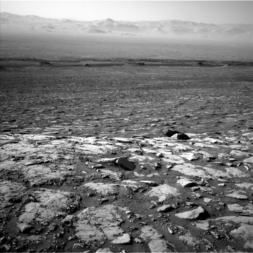
Curiosity Navcam Left B image acquired on Sol 2040, May 3, 2018.
Credit: NASA/JPL-Caltech
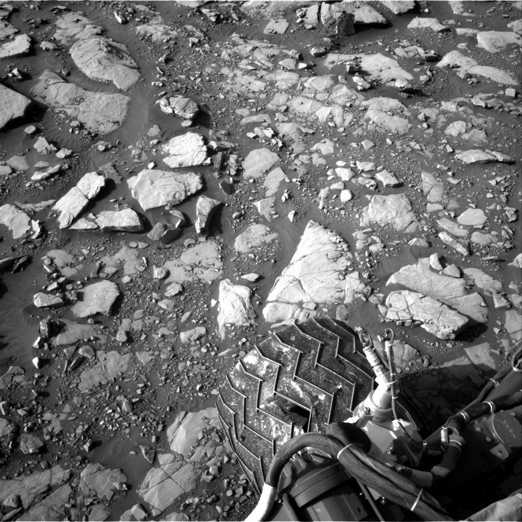
Curiosity Navcam Right B image taken on Sol 2040, May 3, 2018.
Credit: NASA/JPL-Caltech
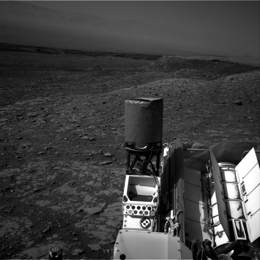
Curiosity Navcam Right B image taken on Sol 2039, May 2, 2018.
Credit: NASA/JPL-Caltech
 Posted in

NASA’s Kilopower project: The power level would be suitable to access, extract, and process lunar ice in permanently shadowed craters and demonstrate propellant production.
Credit: NASA
Important strides are being made in building and testing a key energy source that literally “empowers” human crews on the Moon. NASA’s Space Technology Mission Directorate (STMD) has provided multi-year funding for the Kilopower project. This work is viewed as a stepping stone to small fission-powered planetary science missions – including how to energize a lunar outpost.
Building on prior work by a joint NASA and Department of Energy team, the main goal is to assemble and test an experimental prototype of a space fission power system.
In a May 2 NASA briefing, Kilopower officials announced that the experiment was successfully carried out from November 2017 through March 2018 at the Nevada National Security Site. The effort is led by NASA’s Glenn Research Center in Ohio to demonstrate space fission power systems technology.
Small and simple
The pioneering reactor is a small and simple approach for long-duration, sun-independent electric power for space or extraterrestrial surfaces. Offering high design margins for life and reliability, it will produce from one to 10 kilowatts of electrical energy, continuously for 10 years or more, explains Lee Mason, STMD’s Principal Technologist for Power and Energy Storage at NASA Headquarters. The power system uses a solid, cast uranium-235 reactor core, about the size of a paper towel roll. Reactor heat is transferred via passive sodium heat pipes with that heat then converted to electricity with high efficiency Stirling engines. They churn out about four times as much electric power from the plutonium fuel as compared to a space-rated radioisotope thermoelectric generator (RTG).

For Apollo expeditions to the Moon, RTGs powered five Apollo Lunar Surface Experiment Packages (ALSEPs) set up by moonwalking crews.
Credit: NASA
Apollo power
A historical flashback: For Apollo expeditions to the Moon, RTGs powered five Apollo Lunar Surface Experiment Packages (ALSEPs) set up by moonwalking crews. Those packages contained scientific instruments that relayed information back to Earth, such as data on solar wind and radiation, and the observation that the Moon is geologically active. The five ALSEP stations were shut down in 1977.
“What we are striving to do,” Mason says, “is give space missions an option beyond RTGs which provide a couple hundred watts or so. A Moon mission for Kilopower would be ideal. It has the potential to power lander payloads through the lunar night, and possibly for months or years. The power level would be suitable to access, extract, and process lunar ice in permanently shadowed craters and demonstrate propellant production. NASA could also co-develop the system with commercial lunar lander companies that supply power to mining ventures or small settlements,” he told Inside Outer Space.

Credit: LANL/NASA
Confidence-builder
A successful lunar campaign using Kilopower technology could be a confidence-builder for later Mars missions where humans would depend on the fission power system to make their return propellant and power their habitats.
Having a space-rated fission power unit for future lunar explorers is a game changer, Mason adds. “This new technology is in the kilowatt-class and can mature to provide hundreds of kilowatts of power, or even megawatts. That’s why we call it the Kilopower project. But first things first, and our test program is the way to do it.”
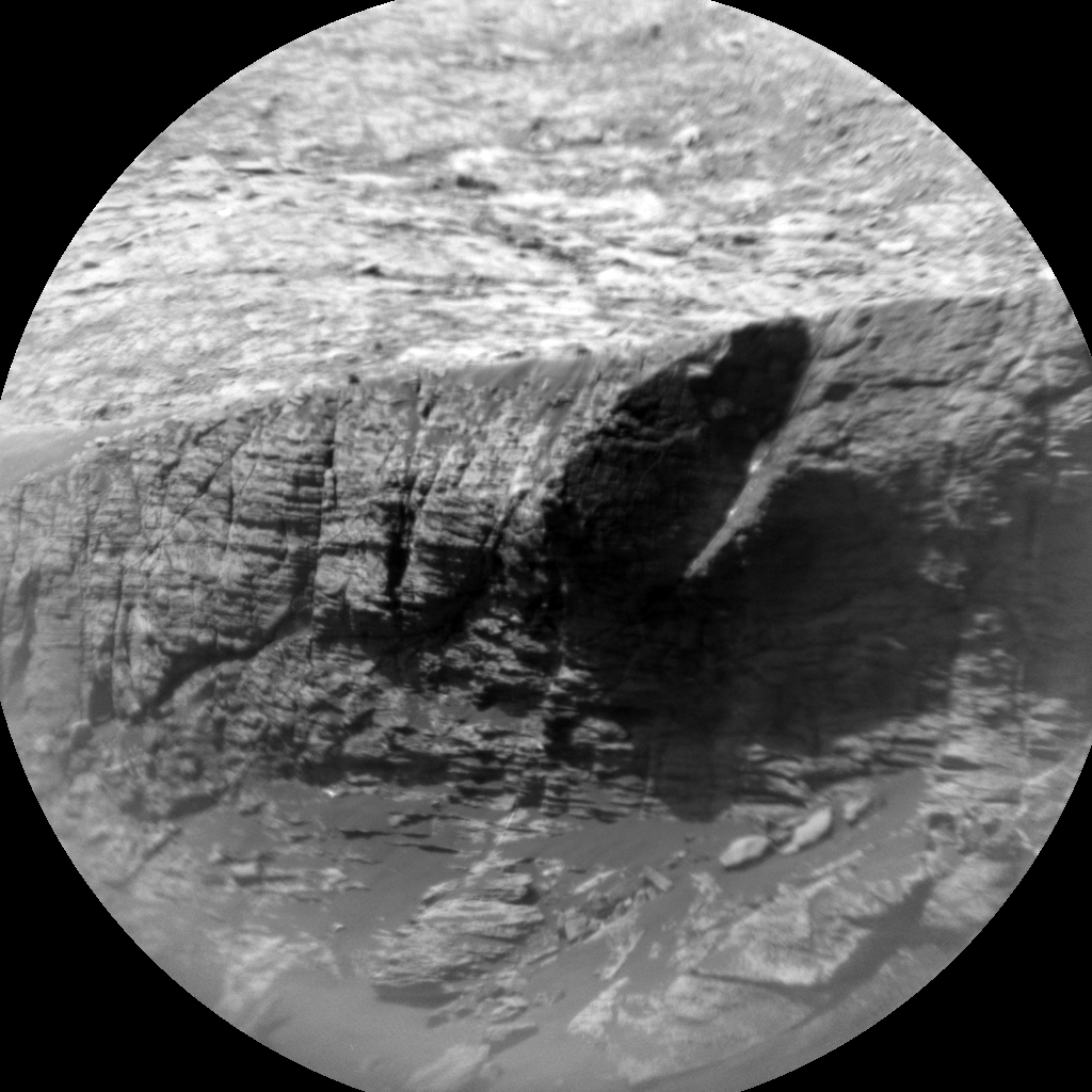
Curiosity ChemCam Remote Micro-Imager photo of Red Cliff taken on Sol 2038, May 1, 2018
Credit: NASA/JPL-Caltech/LANL
NASA’s Mars Curiosity rover is now in Sol 2039, following some impressive preliminary imaging of “Red Cliff,” reports Rachel Kronyak, a planetary geologist at the University of Tennessee in Knoxville.
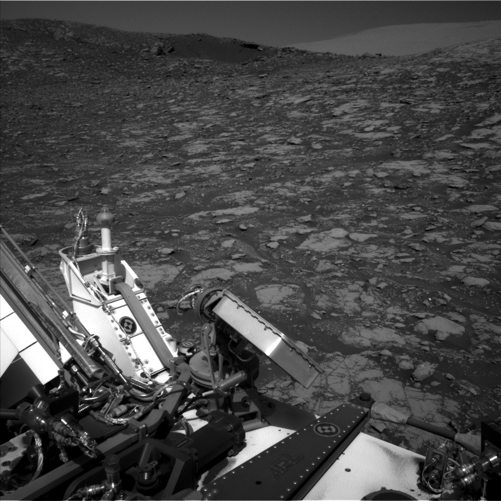
Curiosity Navcam Left B image acquired on Sol 2039, May 2, 2018.
Credit: NASA/JPL-Caltech
The plan now scripted calls for the robot to take additional imagery of Red Cliff “before continuing to drive toward a location where we think we are likely to drill. Kronyak adds.
Small scale studies
“We have a short science block to start the day, during which we’ll use Mastcam to take some context imaging of our surroundings and upcoming terrain,” Kronyak explains. On the plan is using the rover’s Chemistry and Camera (ChemCam) Remote Micro-Imager (RMI) to extend the coverage of Red Cliff.
“These RMI images give us a really great opportunity to study small-scale stratigraphic details in rocks that are pretty far away from the rover,” Kronyak points out.
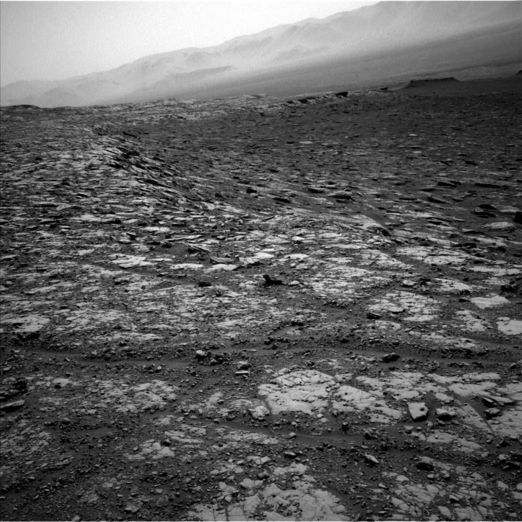
Curiosity Navcam Left B image acquired on Sol 2039, May 2, 2018.
Credit: NASA/JPL-Caltech
Post-drive duties
Following the science block, Curiosity is to drive and take a standard sequence of post-drive images.
Also on tap is taking a dust devil movie with Navcam as well as a post-drive Autonomous Exploration for Gathering Increased Science (AEGIS) observation to collect some preliminary geochemical information at the rover’s next location.
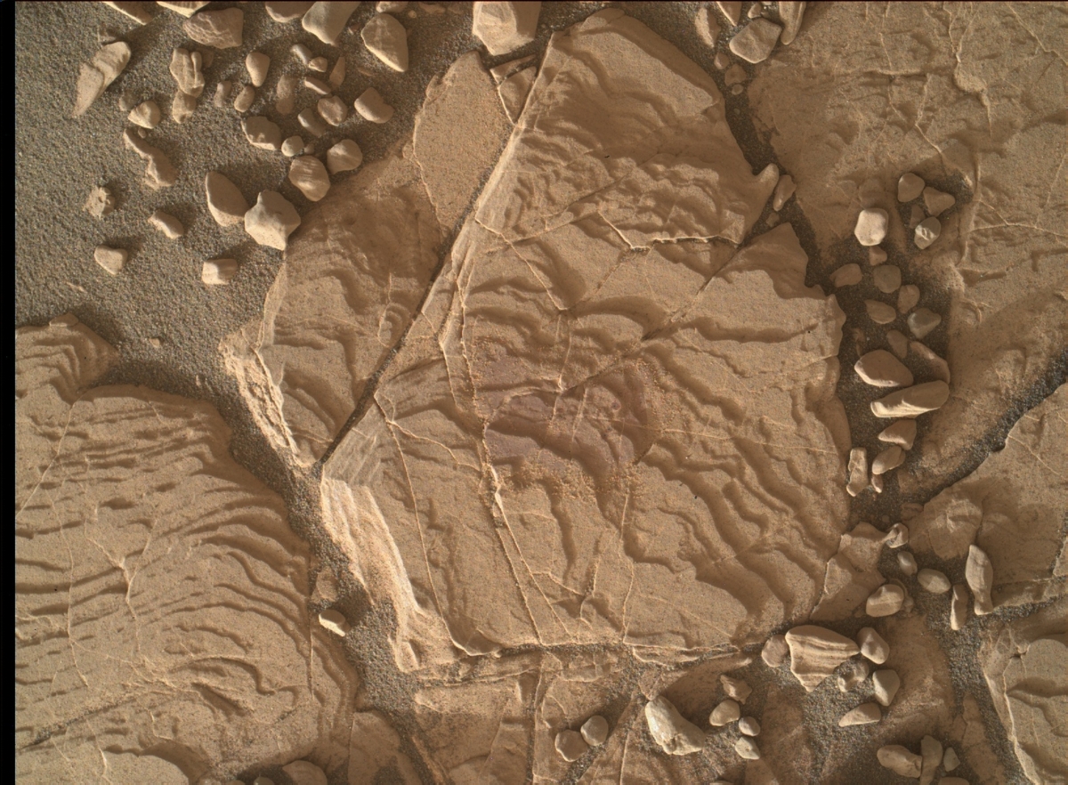
Curiosity Mars Hand Lens Imager (MAHLI) taken on Sol 2038, May 1, 2018.
Credit: NASA/JPL-Caltech/MSSS
Curiosity will then take standard Rover Environmental Monitoring Station (REMS) and Dynamic Albedo of Neutrons (DAN) data, Kronyak concludes, “to round out another great day on Mars!”

Credit: GAO

Credit: GAO
This report includes assessments of NASA’s 26 major projects, each with a life-cycle cost of over $250 million. Project assessments include Europa Clipper, the James Webb Space Telescope, the Mars 2020 rover and the Space Launch System.
For a short fact sheet go to:
https://www.gao.gov/assets/700/691588.pdf
For the full GAO report, go to:
https://www.gao.gov/assets/700/691589.pdf
Also, give a listen to this watchdog podcast on the GAO report:
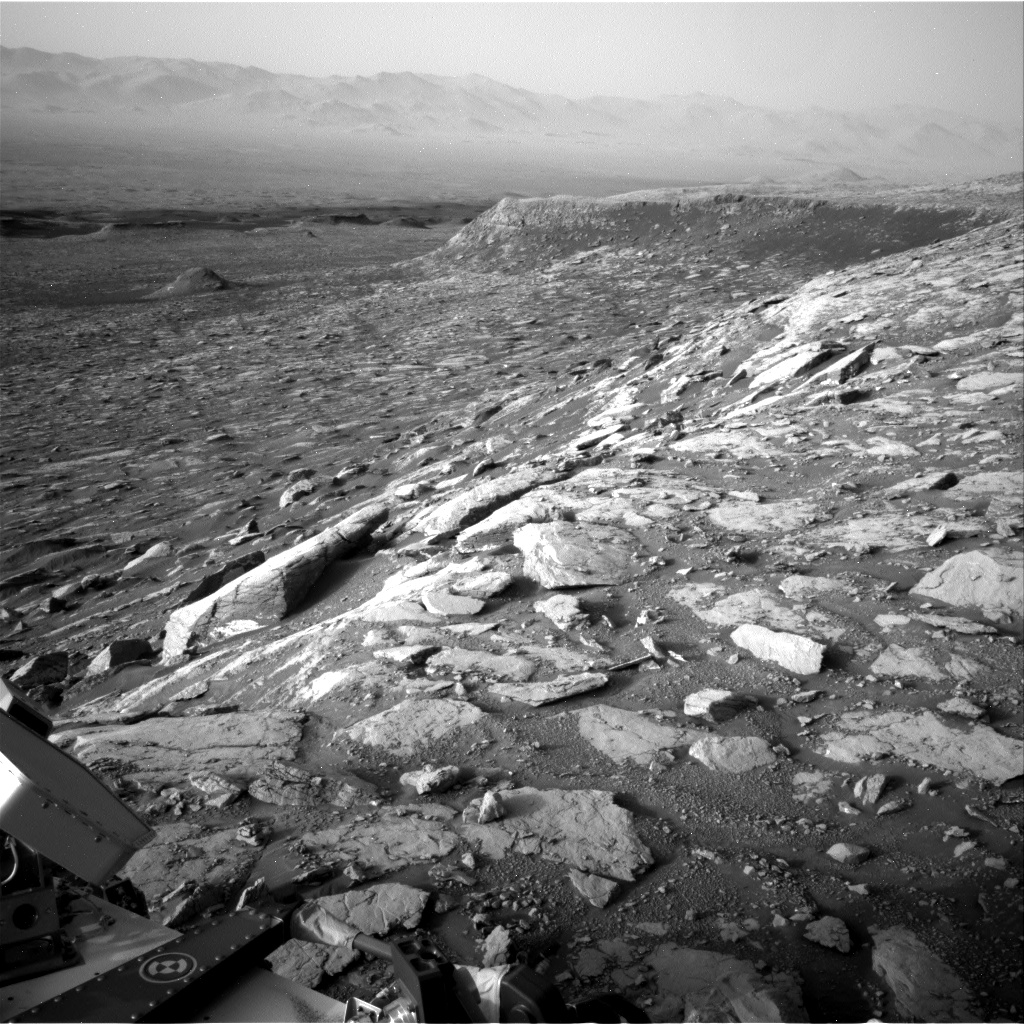
Image of outcrop called “Red Cliff,” a vertical cliff face seen in the mid-field of this Navcam image.
Curiosity Navcam Right B photo taken on Sol 2036, April 29, 2018.
Credit: NASA/JPL-Caltech
NASA’s Curiosity Mars rover is now performing Sol 2038 duties.
“A successful drive in the weekend plan set Curiosity up nicely for a full sol of contact and remote science,” reports Rachel Kronyak, a planetary geologist at the University of Tennessee in Knoxville. “The main priority during planning today was to image the outcrop we’ve called ‘Red Cliff,’ a beautiful vertical cliff face.”
The plan now calls for use of both the Chemistry and Camera (ChemCam) Remote Micro-Imager (RMI) and the rovers Mastcam to image Red Cliff, “which will give us a really nice, well-rounded dataset in order to fully characterize the features and sedimentary structures present in the outcrop,” Kronyak adds.
Bedrock targets
Aside from imaging, Curiosity is to assess some local bedrock targets.
With ChemCam’s Laser-Induced Breakdown Spectrometer (LIBS) on tap is analyzing targets “Paulsen Lake,” “Negaunee,” and “Nashwauk.”
With the robot’s Mars Hand Lens Imager (MAHLI) and Alpha Particle X-Ray Spectrometer (APXS) additional analyses on Nashwauk is to be performed.
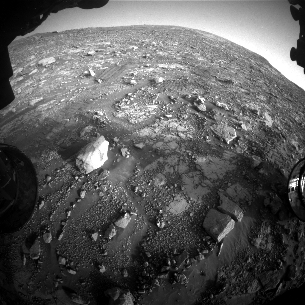
Curiosity Front Hazcam Left B image acquired on Sol 2036, April 29, 2018.
Credit: NASA/JPL-Caltech
Environmental measurements
Lastly, Curiosity is slated to do some standard environmental science activities, including the use of the Rover Environmental Monitoring Station (REMS), the Dynamic Albedo of Neutrons (DAN), and a tau measurement.
“During a tau observation, we use Mastcam to measure the optical depth of the atmosphere,” Kronyak notes. “This is particularly useful for understanding the scattering properties of the molecules and particles that are present in the martian atmosphere.”
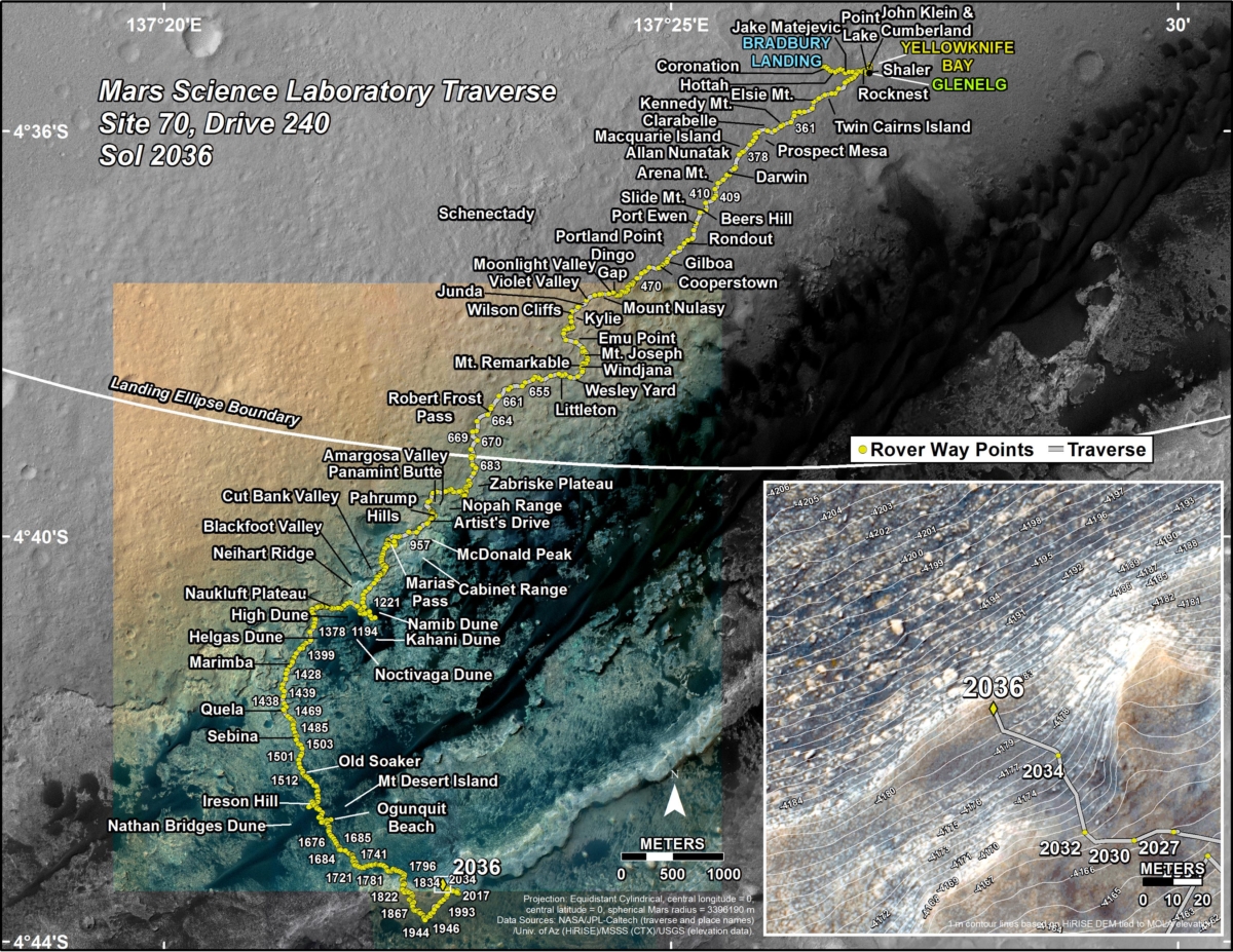
Credit: NASA/JPL-Caltech/Univ. of Arizona
Road map
A newly issued Curiosity traverse map through Sol 2036 shows the route driven by the rover through the 2036 Martian day, or sol, of the rover’s mission on Mars (April 30, 2018).
Numbering of the dots along the line indicate the sol number of each drive. North is up. The scale bar is 1 kilometer (~0.62 mile).
From Sol 2034 to Sol 2036, Curiosity had driven a straight line distance of about 89.38 feet (27.24 meters), bringing the rover’s total odometry for the mission to 11.73 miles (18.88 kilometers).
The base image from the map is from the High Resolution Imaging Science Experiment Camera (HiRISE) in NASA’s Mars Reconnaissance Orbiter.

