Archive for December, 2016
 Author:
  December 2nd, 2016
Curiosity Front Hazcam Right B image taken on Sol 1536, December 1, 2016.
Credit: NASA/JPL-Caltech
The report from ground zero on Mars is that the Curiosity rover has encountered a drill fault.
The robot is now in Sol 1537, and reports Ken Herkenhoff of the USGS Astrogeology Science Center in Flagstaff, Arizona:
“Unfortunately, the much-anticipated rotary-only drilling experiment did not even start due to a drill fault that is currently being investigated,” he reports.

Curiosity Mastcam Right image of drill taken on Sol 1537, December 2, 2016.
Credit: NASA/JPL-Caltech/MSSS
Scramble plan
This type of drill fault appears to be unrelated to the previous short circuits during percussion, but more study is needed, Herkenhoff adds. “So the tactical planning team had to scramble to put together a plan while the drill experts work to recover from this anomaly.”

Curiosity Mastcam Left image taken on Sol 1535, November 30, 2016.
Credit: NASA/JPL-Caltech/MSSS
Herkenhoff notes that, luckily, the fault did not preclude non-drilling arm activities, “so we picked the bright target ‘Thomas Bay’ for contact science.”
Science observations
The Curiosity science team was able to fit remote science observations into the plan: A Navcam cloud movie, a Right Mastcam mosaic of “Squid Cove,” Mastcam measurements of dust in the atmosphere, and a small Mastcam stereo mosaic of “Baldwin Corners.”
At various times of day, the robot’s Navcam and Mastcam were to image the ground toward and opposite the azimuth of sunset to measure the photometric (light scattering) properties of the rocks and soils near the rover.

Curiosity Mastcam Right image taken on Sol 1535, November 30, 2016.
Credit: NASA/JPL-Caltech/MSSS
Curiosity’s Chemistry & Camera (ChemCam) and the Right Mastcam were also slated to observe bedrock target “Compass Harbor” and vein targets “Bartlett Narrows” and “Birch Point.”
Dusty lens?
“After drill diagnostics are performed, more Mastcam dust measurements and images of ‘Hulls Cove’ and ‘Big Heath’ are planned,” Herkenhoff notes.
Also, images using the robot’s Mars Hand Lens Imager (MAHLI) were to focus on the closing of a dust cover and find the best time to take images in full sunlight.

Mars Hand Lens Imager (MAHLI) is located on the turret at the end of the rover’s robotic arm. MAHLI took this image through protective dust cover on December 1, 2016, Sol 1536.
Credit: NASA/JPL-Caltech/MSSS
“Since the fine-grained Sebina sample was dumped, we are concerned about material blowing onto MAHLI’s lens and sticking to it,” Herkenhoff points out.
Editor’s Note: I’ve taken a quick scan of new images from MAHLI and this issue looked to have occurred. However, word is that the MAHLI images that look as if they are dusted-over were acquired with the dust cover closed, through its Lexan(TM) window. The dust cover received a thin film of dust during Sol 0 terminal descent. That film has never really cleaned itself off, but researchers are able to image through it.
 Posted in

Credit: ISECG
The International Space Exploration Coordination Group (ISECG) has just published the summary of its upcoming Science White Paper: “Scientific Opportunities Enabled by Human Exploration Beyond Low-Earth-Orbit.”
The science white paper will inform the next edition of the Global Exploration Roadmap, expected in late 2017.
The paper was developed by ISECG agencies together with a Science Advisory Group, including representatives from the international scientific community and reflecting the views and inputs from an open interaction with this community.
Ideal location
According to the white paper, the next step beyond low-Earth orbit and the International Space Station is the Moon.
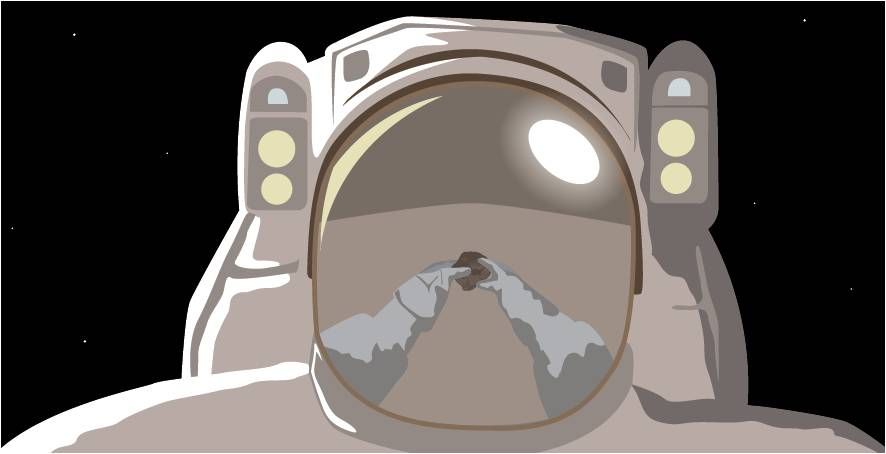
“The vicinity of the Moon is the ideal location as the next step in the expansion of human space activity from the International Space Station leading to investigations of the Moon, asteroids, and Mars,” the document states.
“This deep space environment enables testing and validation of habitation systems and related operations techniques, while remaining close enough to Earth as we learn to manage exploration mission risks. Increasingly longer duration missions to a habitat in the deep space environment enable study of the interplay of radiation, microgravity and isolation on human health, valuable for future spaceflight to more distant destinations, notably Mars, as well as health research on Earth.”
Credit: ISECG
Exploration infrastructure
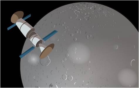
As explained in the white paper, that type of infrastructure can support cubesats and small satellites by providing services such as deployment and communication relay.
Furthermore, it can facilitate remote controlled robotic exploration on the lunar surface. It can also be used for investigations in areas such as astronomy, fundamental physics, collecting interplanetary materials, and heliophysics.”
Shared horizon goal
The newly released document notes that Mars is the “shared horizon goal” driving sustainable human exploration.
Mars has the greatest similarity to Earth in past and current planetary processes, and may have the best record of when life started in our Solar System and of catastrophic change in planetary evolution,” the document explains.
Asteroid research
Regarding asteroids, the documents observes that “the presence of humans, whether on a returned asteroid boulder in the lunar vicinity or on an asteroid in its native orbit, will permit placement of complex instruments on the asteroid surface, as well as the ability to sample surface and subsurface sites to obtain information on the ancient history of the Solar System which larger, evolved planetary bodies have lost.”
Credit: ISECG
The document adds that the ISECG “will also work to better understand the internal structures of Near-Earth Asteroids, a vital part of the puzzle needed in order to develop mitigation strategies for addressing threats from an Earth-bound asteroid.
ISECG agencies
Participating space agencies in the ISECG are:
In alphabetical order: ASI (Italy), CNES (France), CNSA (China), CSA (Canada), CSIRO (Australia), DLR (Germany), ESA (European Space Agency), ISRO (India), JAXA (Japan), KARI (Republic of Korea), NASA (United States of America), NSAU (Ukraine), Roscosmos (Russia), UKSA (United Kingdom).
For more information on the ISECG, go to:

