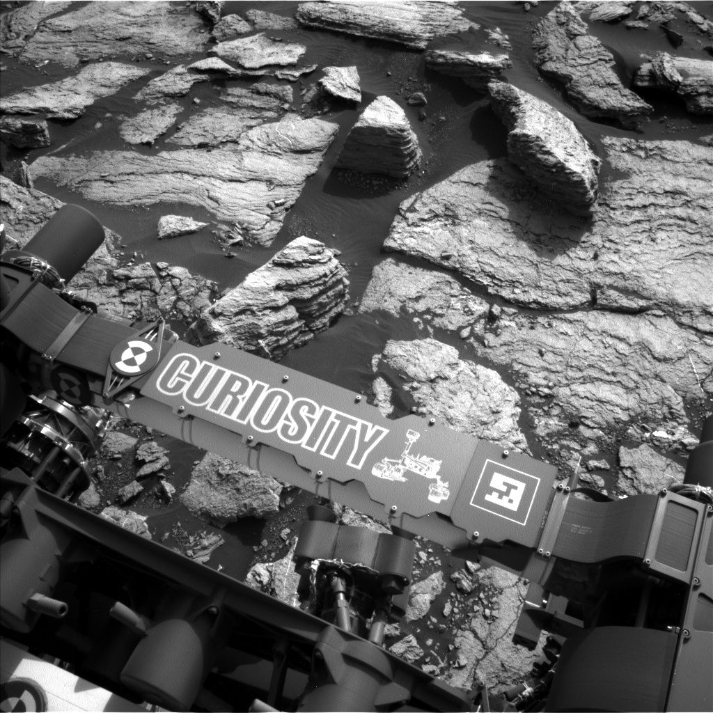
Curiosity Navcam Left B image acquired on Sol 1598, February 3, 2017.
Credit: NASA/JPL-Caltech
NASA’s Curiosity Mars rover continued its planetary prowling, driving roughly 70 feet (21 meters) to the southwest back on Sol 1598.
That drive yielded up-close imagery of “Ireson Hill”
The robot has entered Sol 1599 with scientists implementing a plan that includes Mars Hand Lens Imager (MAHLI) operation and Alpha Particle X-Ray Spectrometer (APXS) of the target “Digdeguah” to investigate typical local bedrock with some exposed stratification.
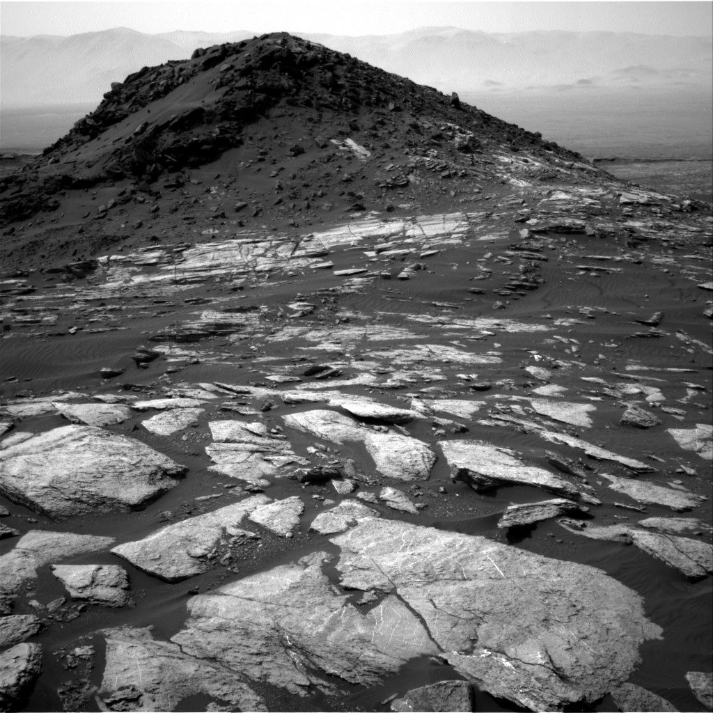
Navcam Right B image from Curiosity of the south side of Ireson Hill, acquired on Sol 1596, February 1, 2017.
Credit: NASA/JPL-Caltech
Hill imagery
Curiosity’s Chemistry & Camera (ChemCam) is to continue its recovery activities and the rover’s Mastcam is to acquire a large mosaic of Ireson Hill to characterize the contact and color variations exposed on the south side of this feature.
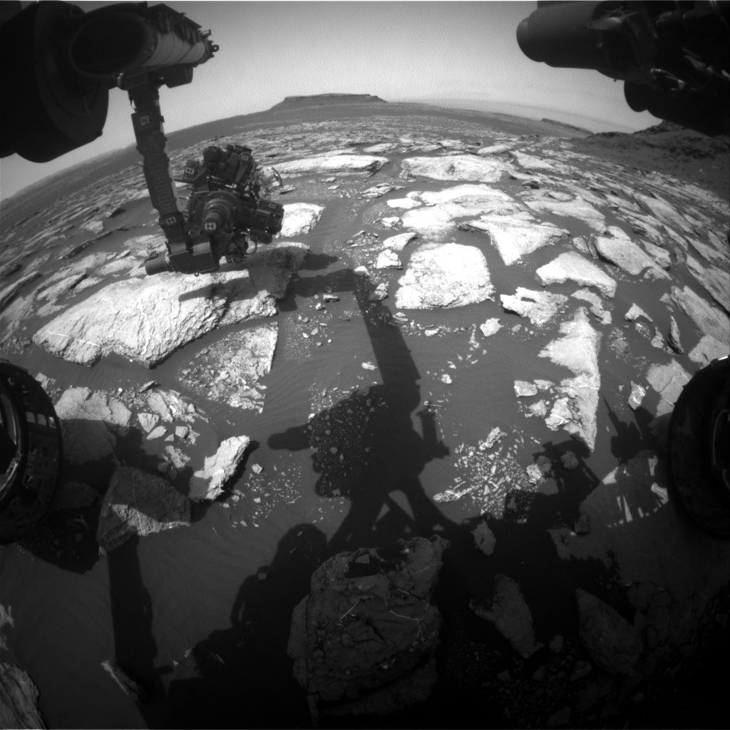
Curiosity Front Hazcam Right B image taken on Sol 1598, February 3, 2017.
Credit: NASA/JPL-Caltech
Fractured features
Lauren Edgar, a research geologist at the USGS Astrogeology Science Center in Flagstaff, Arizona reports that the Curiosity science team also planned a Mastcam mosaic of the “Allsbury” area to document the contact science target and fracture patterns, as well as a Mastcam tau to characterize atmospheric opacity.
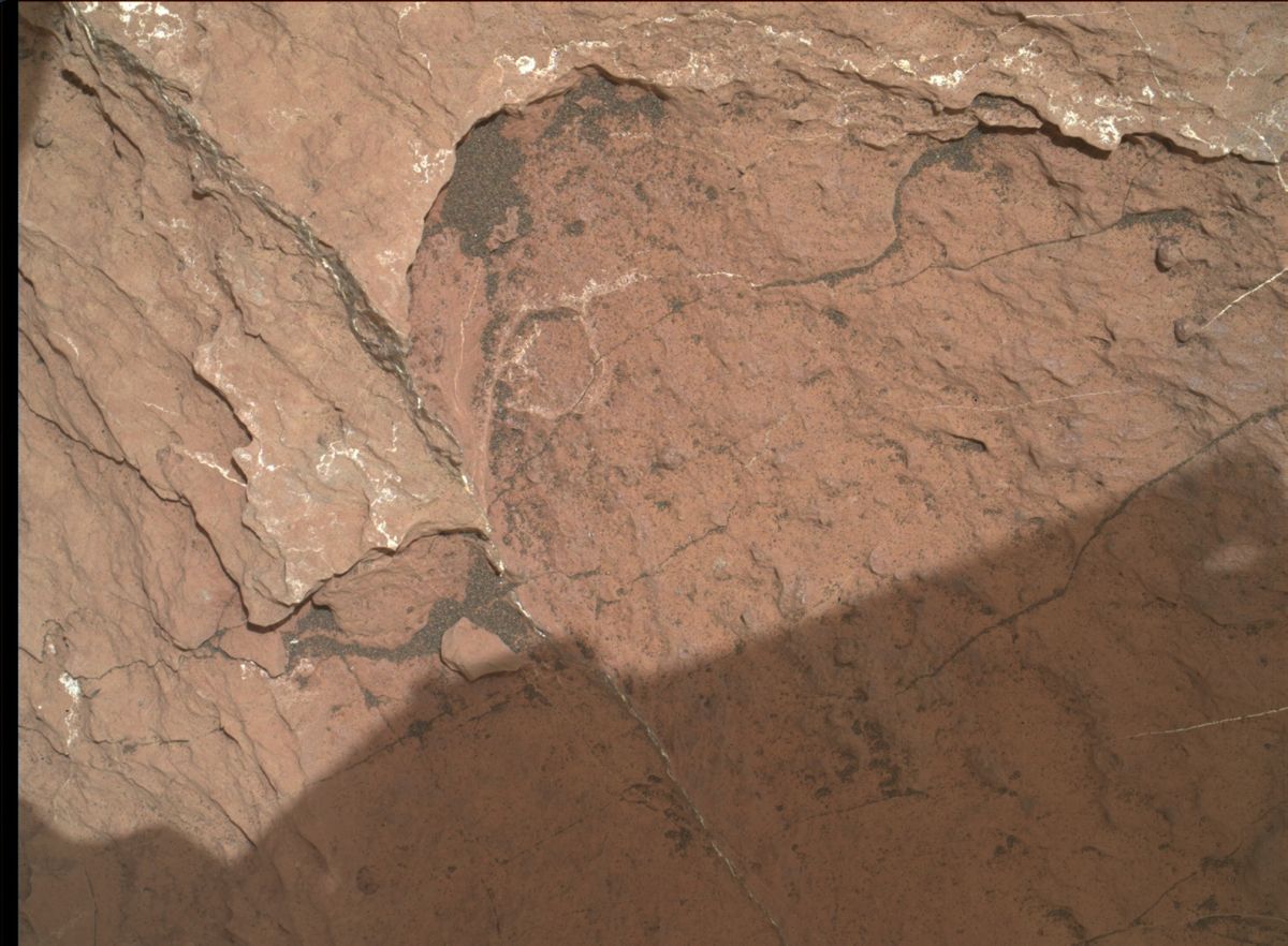
Curiosity Mars Hand Lens Imager (MAHLI) photo acquired on Sol 1598, February 3, 2017.
Credit: NASA/JPL-Caltech/MSSS
Drive to southwest
The plan calls for Curiosity to drive further to the southwest, and then take post-drive imaging to prepare for more contact science in the upcoming weekend plan.
Also scheduled, Edgar adds, is environmental monitoring and a Sample Analysis at Mars (SAM) Instrument Suite measurement of the Martian atmosphere.

