
Curiosity Front Hazcam Right B image taken on Sol 2092, June 25, 2018.
Credit: NASA/JPL-Caltech
NASA’s Curiosity Mars rover is now performing Sol 2093 duties.
Notes Ryan Anderson, a planetary geologist for the USGS in Flagstaff, Arizona: “Despite the global dust storm — more correctly known as a ‘planet encircling dust event’ — darkening the skies, our nuclear-powered rover continues to do good science.”
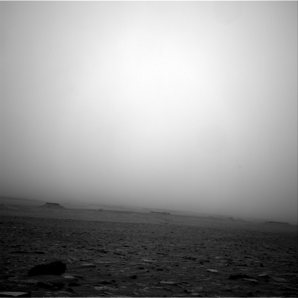
Curiosity Navcam Right B photo acquired on Sol 2091, June 24, 2018.
Credit: NASA/JPL-Caltech
Veins and layers
A Sol 2090 plan called for the first of several Navcam observations of the dusty atmosphere over last weekend, followed by Chemistry and Camera (ChemCam) observations of the targets “Caribou Lake,” “Simar,” and “Arlberg”. ChemCam also will image the target “Young Lake” again.

Curiosity Navcam Left B image taken on Sol 2092, June 25, 2018.
Credit: NASA/JPL-Caltech
The rover’s Mastcam will take individual pictures of the ChemCam targets on Arlberg and Caribou Lake, plus small stereo mosaics of Simar and “Hawk Ridge” to help measure the orientation of the veins and layers seen there, Anderson reports.
MAHLI dust check
Mastcam will then make some observations of the Sun and the distant crater rim to measure the dust in the atmosphere and the robot’s Mars Descent Imager (MARDI) was set to take an image of the ground underneath the rover.
Later in the afternoon on Sol 2090, Anderson adds, Mastcam was slated to take images of the rover’s Mars Hand Lens Imager (MAHLI) to make sure it isn’t getting too dusty. APXS will then make two measurements: one on “Hunter Lake” and another on Caribou Lake.

Curiosity Navcam Left B image acquired on Sol 2092, June 25, 2018.
Credit: NASA/JPL-Caltech
Rover drive
On Sol 2091, the plan was to start first thing in the morning with Mastcam and Navcam atmospheric measurements of dust and searches for clouds. Later in the morning, Curiosity was to repeat some of the dust observations and Mastcam was on tap to take pictures of “Clappers,” Hunter Lake, and Caribou Lake.
On Sol 2092, the plan called for use of the Sample Analysis at Mars (SAM) Instrument Suite to make a measurement of the atmospheric composition, and then Navcam was to measure the dust in the atmosphere before a rover drive.
Anderson explains that the drive should go about 92 feet (28 meters), heading back up the slope toward the top of Vera Rubin Ridge.

Checking on Mars Hand Lens Imager (MAHLI) and dust. Curiosity Mastcam Right photo acquired on Sol 2090, June 23, 2018.
Credit: NASA/JPL-Caltech/MSSS
After the drive, Mastcam is scheduled to take another round of atmospheric dust measurements plus normal post-drive imaging, including a documentation image of the ground near the rover.
MARDI was also to take a documentation image, Anderson concludes.

Curiosity Navcam Left B image acquired on Sol 2092, June 25, 2018.
Credit: NASA/JPL-Caltech

